Home > GeoMeasure
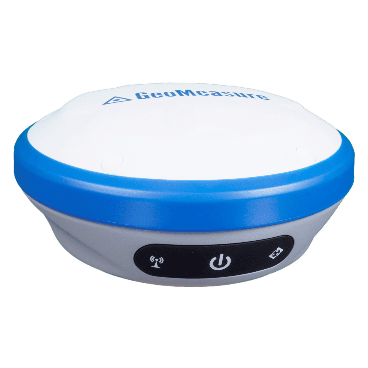
The GeoMeasure Nano 7 represents the latest generation of RTK GNSS technology, designed to deliver reliable performance in a wide range of environments.
Key Features of the GeoMeasure Nano 7:
About the GeoMeasure Brand and Bench Mark
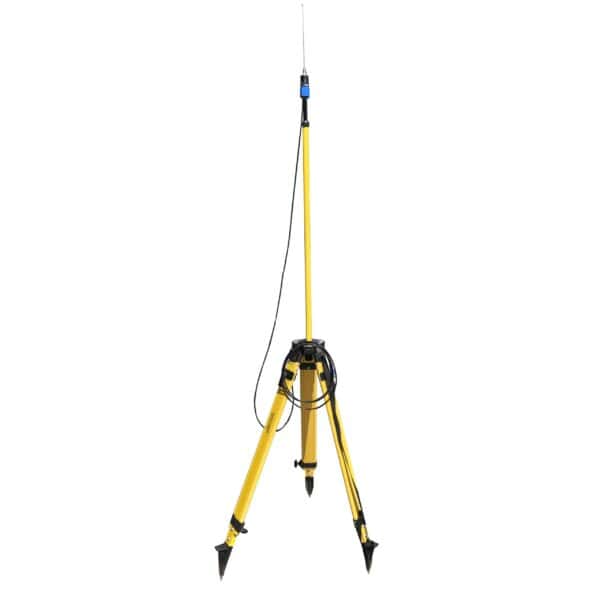
GeoMeasure is known for its exceptional selection of RTK GNSS equipment, supplies, and accessories. GeoMeasure distributes reliable, well-made equipment, and we are pleased to supply that equipment at an affordable price. From total stations to builder’s levels, antennas and tripods you can find all the GeoMeasure products you need at Bench Mark.
GeoMeasure stands out for its:
Showing 33–46 of 46 results
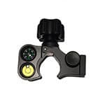


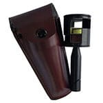


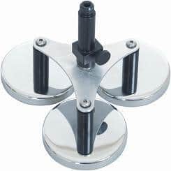

GeoMeasure provides a complete range of practical surveying tools, including RTK GNSS receivers, reflectorless total stations, field tablets, digital levels, prisms, poles, bipods, tapes, and RTK correction services. These products are designed to support everyday land surveying, construction layout, and mapping workflows.
GeoMeasure solutions are well suited for surveyors, construction crews, and engineering teams who need reliable field performance at a practical price point. They are commonly chosen for routine surveying, site layout, and projects where dependable accuracy is required without the cost of premium-tier systems.
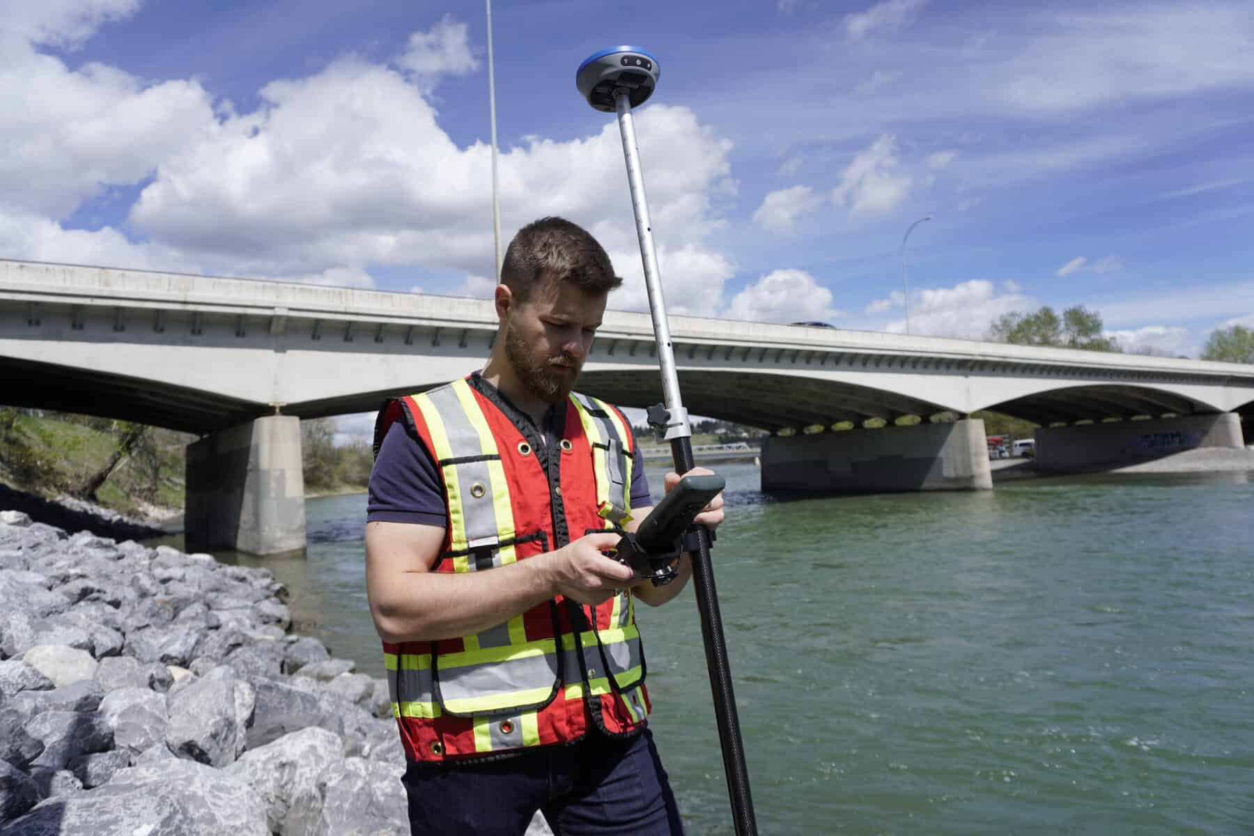
RTK-enabled GeoMeasure GNSS receivers can deliver centimeter-level positioning when used with proper corrections, while reflectorless total stations provide precise angle and distance measurement for layout and control work. Final accuracy depends on setup, environment, and workflow.
Yes. GeoMeasure instruments are designed to integrate with common field workflows, including standard survey software, tripods, prisms, and mounting hardware used across the industry.
Yes. Because the lineup includes GNSS, total stations, controllers, levels, and accessories, GeoMeasure makes it possible to assemble a complete, compatible survey setup from a single equipment family.
StormCaster is a cloud-based RTK correction service that improves GNSS positioning accuracy to the centimeter level. It is typically used when real-time precision is required for surveying, layout, or mapping tasks.
GeoMeasure focuses on dependable performance, straightforward operation, and strong value. While premium brands may offer advanced automation or specialized features, GeoMeasure is often selected for cost-effective field productivity and reliable day-to-day surveying.
Most RTK workflows begin with a GNSS receiver, compatible field controller, and access to RTK corrections such as StormCaster. Additional tools like prisms, poles, and total stations can then expand capability based on project needs.
Accurate tools for every project
GeoMeasure equipment is designed to deliver reliable performance across a wide range of surveying applications.
Feature / Criteria | GeoMeasure | Trimble | Leica Geosystems | Topcon |
Performance & Accuracy | Reliable RTK GNSS accuracy for surveying and construction applications | Industry-leading accuracy across all applications | Extremely high precision for specialized work | Strong accuracy for general surveying and construction |
Ease of Use | User-friendly systems with intuitive workflows and GeoMeasure app support | Powerful but can have a steeper learning curve | Advanced systems may require more training | Generally easy to adopt and operate |
Product Range | GNSS, total stations, levels, and accessories | Extensive ecosystem including software and hardware | Broad portfolio with high-end technology | Wide range of surveying and construction solutions |
Technology & Innovation | Modern GNSS solutions focused on efficiency and simplicity | Advanced integration and innovation | High-end measurement and imaging technology | Strong focus on automation and construction tech |
Cost / Value | Cost-effective with strong performance-to-price ratio | Premium pricing | Premium pricing | Mid-to-high pricing |
Best For | Professionals seeking reliable, affordable surveying solutions | Large-scale operations requiring full integration | High-precision engineering applications | Construction and surveying professionals needing versatility |
From field setup to accurate project results
GeoMeasure equipment is designed to support a wide range of surveying and construction applications, from land surveying and site layout to infrastructure and elevation work. GNSS systems provide reliable positioning for boundary surveys, topographic mapping, and control, while laser systems and levels support grading, layout, and elevation measurement. Accessories such as tripods and antennas help maintain stable setups and consistent accuracy in the field.
These systems integrate smoothly into a complete workflow, starting with stable field setup and accurate data collection using GNSS receivers or traditional instruments. Real-time positioning allows crews to work efficiently, while field verification of measurements helps reduce errors and avoid rework. The result is accurate data that supports construction, engineering, and mapping projects from initial setup through final deliverables.
This approach helps ensure consistent performance across different project types while keeping field operations efficient and reliable.


Equipment that enhances productivity
GeoMeasure equipment covers more than basic surveying tools. The lineup includes GNSS receivers, laser systems, and machine control solutions designed to integrate into your workflow and support efficient field operations. These systems are built for fast setup, accurate measurements, and reliable performance across different project types.
We help you select GeoMeasure equipment that fits your workflow and improves consistency in the field.
Training & Support for GeoMeasure Systems
This approach helps ensure your equipment works as expected and supports reliable results on every project.