Home > DJI Enterprise

Professional DJI Platforms
We offer a range of DJI enterprise drones configured for professional field use, including RTK-enabled platforms and systems compatible with photogrammetry and DJI LiDAR workflows. These drones are widely used for topographic surveys, construction progress tracking, infrastructure inspection, and emergency response where accurate aerial data and reliable flight performance are essential.
Enterprise DJI platforms are designed to support consistent mission planning, stable imaging, and efficient data capture in demanding environments. Their integration with professional processing software allows collected imagery and LiDAR data to move quickly into CAD, GIS, and modeling workflows used by surveyors and engineers across Canada.
DJI Enterprise stands out for its:
Showing all 11 results
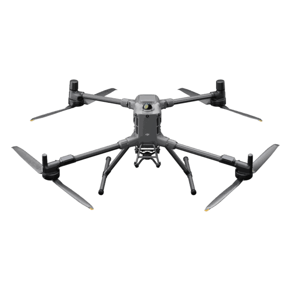
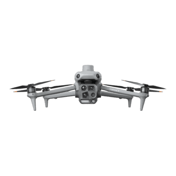


DJI enterprise drones are built for professional workflows such as surveying, mapping, inspection, and emergency response. They offer higher payload capacity, RTK positioning, interchangeable sensors, and greater durability compared with consumer DJI drones.
Yes. Many DJI enterprise drones support RTK or PPK positioning and can integrate with photogrammetry or DJI LiDAR payloads, enabling accurate topographic mapping, volume calculations, and site documentation.
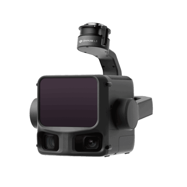
Select enterprise platforms support DJI LiDAR sensors designed for terrain modeling, forestry analysis, and high-accuracy 3D data capture in complex environments such as vegetation or uneven terrain.
Yes. DJI drones in Canada are widely used for commercial operations including surveying, construction monitoring, inspections, and public safety. Operators must follow Transport Canada regulations and certification requirements.
The right DJI Enterprise system depends on payload needs, accuracy requirements, flight time, and environment. Compact platforms suit rapid mapping and inspection, while larger Matrice systems support LiDAR, thermal imaging, and multi-sensor workflows.
Professional Support for DJI Enterprise Across Canada
Successfully deploying drone technology requires the right support and expertise. At Bench Mark Equipment & Supplies, we help you get the most out of your DJI Enterprise investment.
System Setup Assistance
We help configure your DJI enterprise drone for your specific workflow and application.
Training & Onboarding
Learn how to operate your drone and use the DJI Enterprise app effectively with guided training.
Workflow Integration
We assist with integrating drone data into your existing CAD, GIS, or engineering workflows.
Ongoing Technical Support
Our team is available to help with troubleshooting, updates, and optimization.
Feature / Criteria | DJI Enterprise | Traditional Survey Equipment (GNSS / Total Stations) | Other Drone Platforms |
Data Collection Speed | Rapid aerial data capture over large areas | Slower, ground-based data collection | Varies depending on system |
Accuracy | High accuracy with RTK-enabled systems | Very high accuracy for point measurements | Varies by platform |
Ease of Use | Intuitive workflows with DJI Enterprise app | Requires trained survey crews | Can vary in usability |
Coverage Area | Large areas covered quickly | Limited by ground access | Moderate to large coverage |
Workflow Efficiency | Streamlined from flight to processing | Multiple steps and manual processes | Varies depending on system |
Cost / Value | Strong value for aerial data collection | High labor cost over time | Varies widely |
Best For | Mapping, inspection, and large-scale data capture | High-precision control and layout work | Specialized or niche applications |
From aerial data capture to accurate final deliverables
DJI Enterprise drone systems are used across a wide range of industries where accurate aerial data and efficient workflows are critical. RTK-enabled drones support land surveying and mapping by providing precise data for topographic surveys, while construction teams use them for progress monitoring, earthworks tracking, and site visibility. These systems are also widely applied in infrastructure inspection, allowing safe and efficient assessment of bridges, towers, and utilities without manual access.
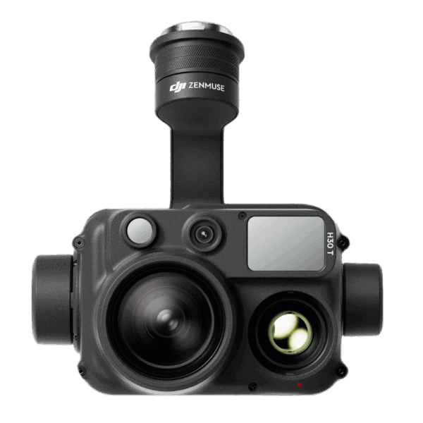
Advanced payloads such as LiDAR enable detailed terrain modeling and 3D data capture, even in areas with dense vegetation or complex structures. DJI Enterprise drones are also used in emergency response for rapid deployment and real-time situational awareness, as well as in mining and large-scale projects where efficient coverage of large areas is essential.
These systems integrate into a complete workflow from mission planning and automated flight paths to high-resolution data collection and RTK positioning for accurate georeferencing. Collected data can then be processed into maps, models, and point clouds, delivering reliable outputs for CAD, GIS, construction planning, and engineering analysis.


Accurate aerial data collection for complex survey environments
DJI LiDAR sensors and advanced imaging payloads extend the capabilities of enterprise drone platforms by enabling precise terrain modeling, vegetation penetration, and detailed 3D data capture. These systems are especially effective in conditions where traditional photogrammetry is limited by dense cover, lighting, or complex surfaces.
When combined with RTK-enabled drones, LiDAR and imaging payloads support faster data collection, reduce the need for ground control, and deliver consistent accuracy across large or difficult areas. The result is reliable aerial data ready for use in CAD, GIS, and engineering workflows.
The Bench Mark Advantage
This approach ensures you get not only the right equipment, but also the support needed for long-term performance and project success.