GNSS Receivers

Home >GNSS Receivers

RTK-Systems-Banner1-scaled.jpg
Risk-Free 30 Day Money Back Guarantee

Professional GNSS Receivers for High-Accuracy Positioning

RTK, GIS, and Survey-Grade Solutions for Field Professionals

We offer GNSS receivers for surveying, construction, GIS mapping, marine positioning, and other applications that require reliable location data in the field. Whether the goal is centimeter-level RTK accuracy or efficient GIS data collection, selecting the right receiver is essential for achieving consistent project results.

Our selection includes solutions for a wide range of positioning requirements, from everyday mapping and asset management to high-accuracy surveying and construction layout. Popular options such as the Hemisphere S631 GNSS RTK Package and GeoMeasure Nano 7 RTK Package are trusted by professionals who require dependable performance, flexible correction options, and reliable field operation.

With support for modern GNSS constellations, RTK networks, and NTRIP correction services, these systems help surveyors, contractors, and geospatial professionals collect accurate positioning data with confidence.

FAQs About Our GNSS Equipment

The correct GNSS receiver depends on required accuracy, correction workflow, and operating environment. RTK GNSS receivers are typically selected for survey-grade and engineering tasks, while mapping and GIS applications may only require sub-meter precision.

Many GNSS receivers support RTK corrections through local base stations or network services. With proper configuration, real-time accuracy can reach the centimeter level.

Yes. External GNSS antennas are commonly paired with receivers for base stations, marine installations, and permanent or semi-permanent survey control points.

GNSS receivers can calculate standalone positions, but RTK workflows typically rely on cellular or internet connections to receive correction data from a base station or network.

GNSS performance can be affected by dense tree cover, buildings, and other obstructions that block satellite signals. Modern multi-constellation GNSS receivers help improve positioning stability in challenging environments by tracking more satellites simultaneously.

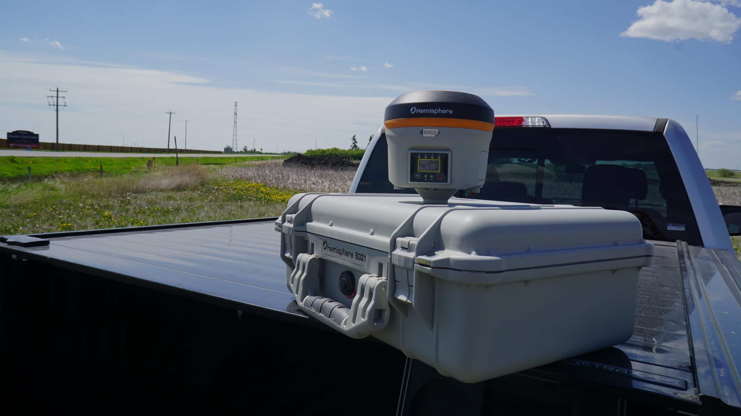
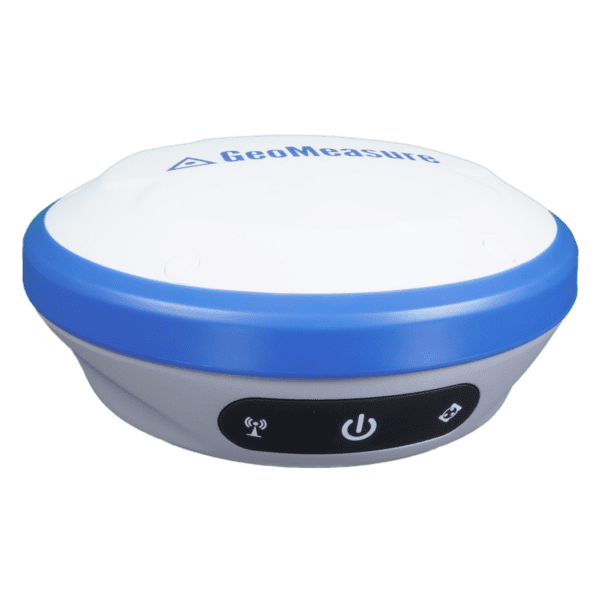
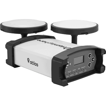
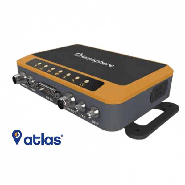
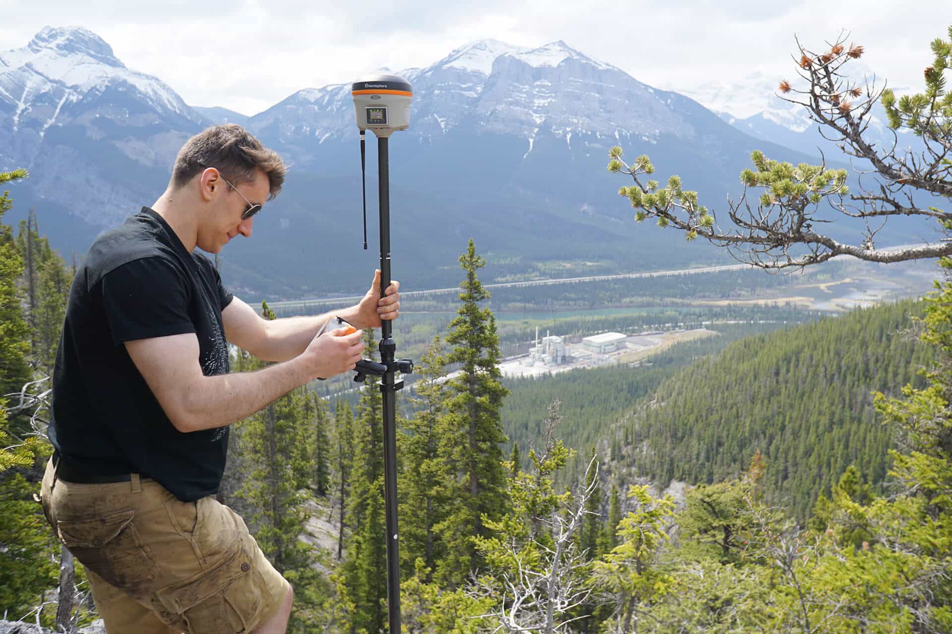
A professional GNSS receiver with RTK corrections can typically achieve centimeter-level positioning accuracy for surveying, construction layout, mapping, and machine control applications. Accuracy depends on satellite visibility, correction sources, and overall field conditions.

GNSS Receivers for Demanding Applications

Precision and Flexibility in the Field

We offer GNSS receivers selected to perform across a wide range of professional environments, from boundary and construction surveying to machine control and marine navigation. Multi-constellation tracking, RTK capability, and flexible communication options allow reliable positioning even in challenging terrain or signal conditions.

Each system is chosen with long-term usability in mind, ensuring compatibility with evolving correction services, software platforms, and field workflows. The result is dependable positioning performance that supports both daily operations and complex survey requirements.

Surveyor adjusting equipment on mountain with valley view

Technical Support That Extends Beyond Equipment

Practical Expertise When It Matters

We believe GNSS receivers should be backed by knowledgeable support, not just specifications. Our team works directly with surveyors, engineers, and field crews to assist with setup, configuration, and troubleshooting when challenges arise on site.

This hands-on approach helps reduce downtime, protect investment in GNSS equipment, and maintain consistent productivity in the field. Reliable technology combined with responsive technical support is what defines the long-term value of professional GNSS receivers.