Description
Juniper Systems
Juniper Systems has built a reputation around providing rugged and robust data collection solutions. Starting in 1993, they provided at first agricultural products to help with seed and crop management. However, they were soon approached by surveyors, foresters, and mining companies who had seen how rugged and tough their handheld devices were. This lead to the creation of some of the most popular rugged data collectors on the market including the Juniper Allegro 2 / Carlson Surveyor 2, the Archer 2, the Cedar line of Android tablets and more. All of these collectors have been proven to be able to stand up to anything that has been thrown at them.Â
The company is headquartered in Logan Utah, and is proud to be a North American based manufacturer. This means that if you ever need any support or service, you can deal with someone in your time zone, and who is able to turn around any repairs within one day. So whether you need a software solution like Uinta, a handheld data collector like the Mesa 3, or a sub-meter antenna like the Geode, Juniper has a solution to help manage and track your assets. With lots of experience in a variety of industries, including; agriculture, construction, mining, oil, and more, Juniper can find a custom solution that meets your needs.Â
At Bench-Mark, we have been a Juniper authorized distributor for over 10 years. We have supplied hand held data collectors, sofware packages and GNSS receivers to clients all over North America. We have built our relationship with Juniper on providing superioir after sales support and service to our many customers, no matter where they are located.Â
The Juniper Geode GNS3 Sub-Meter Antenna
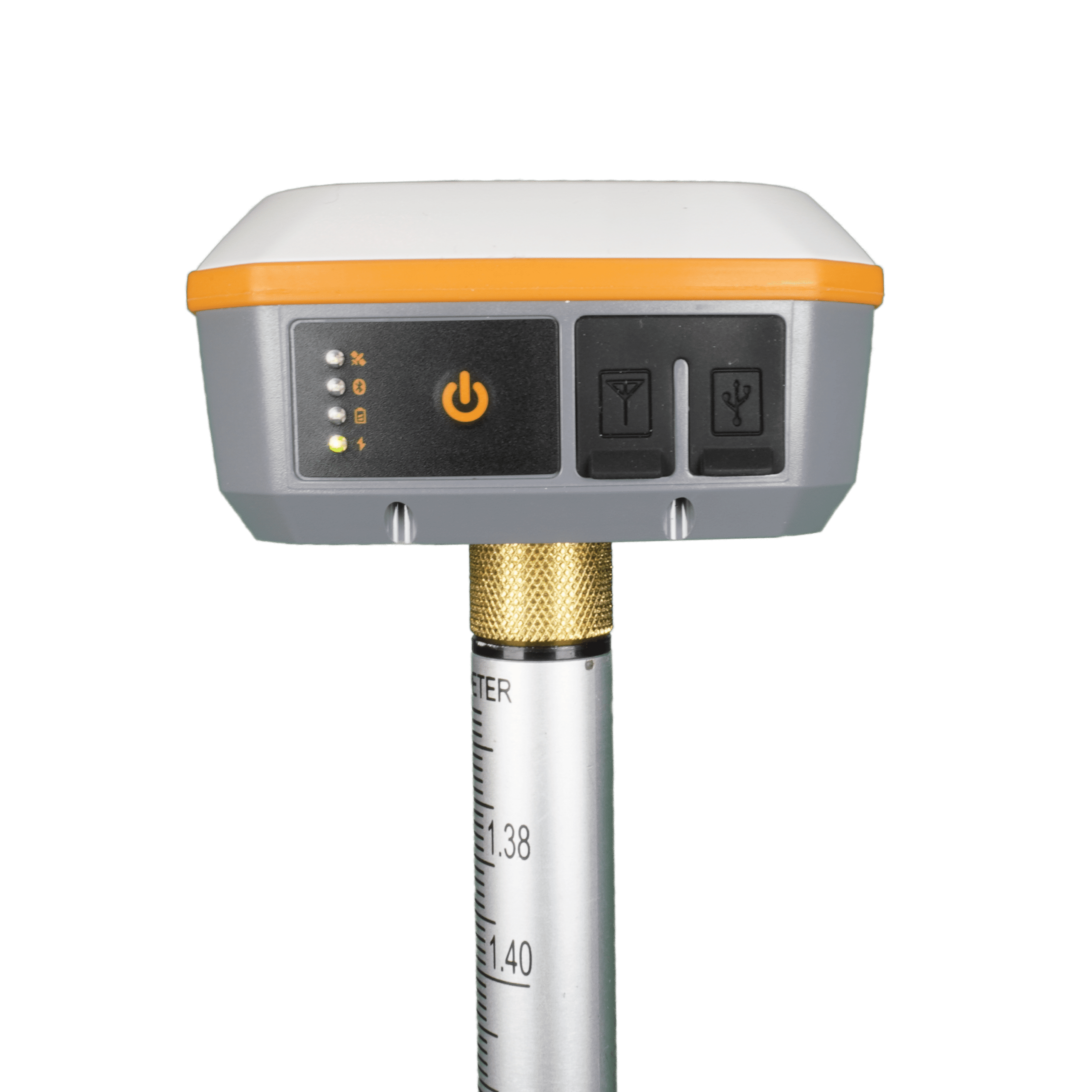
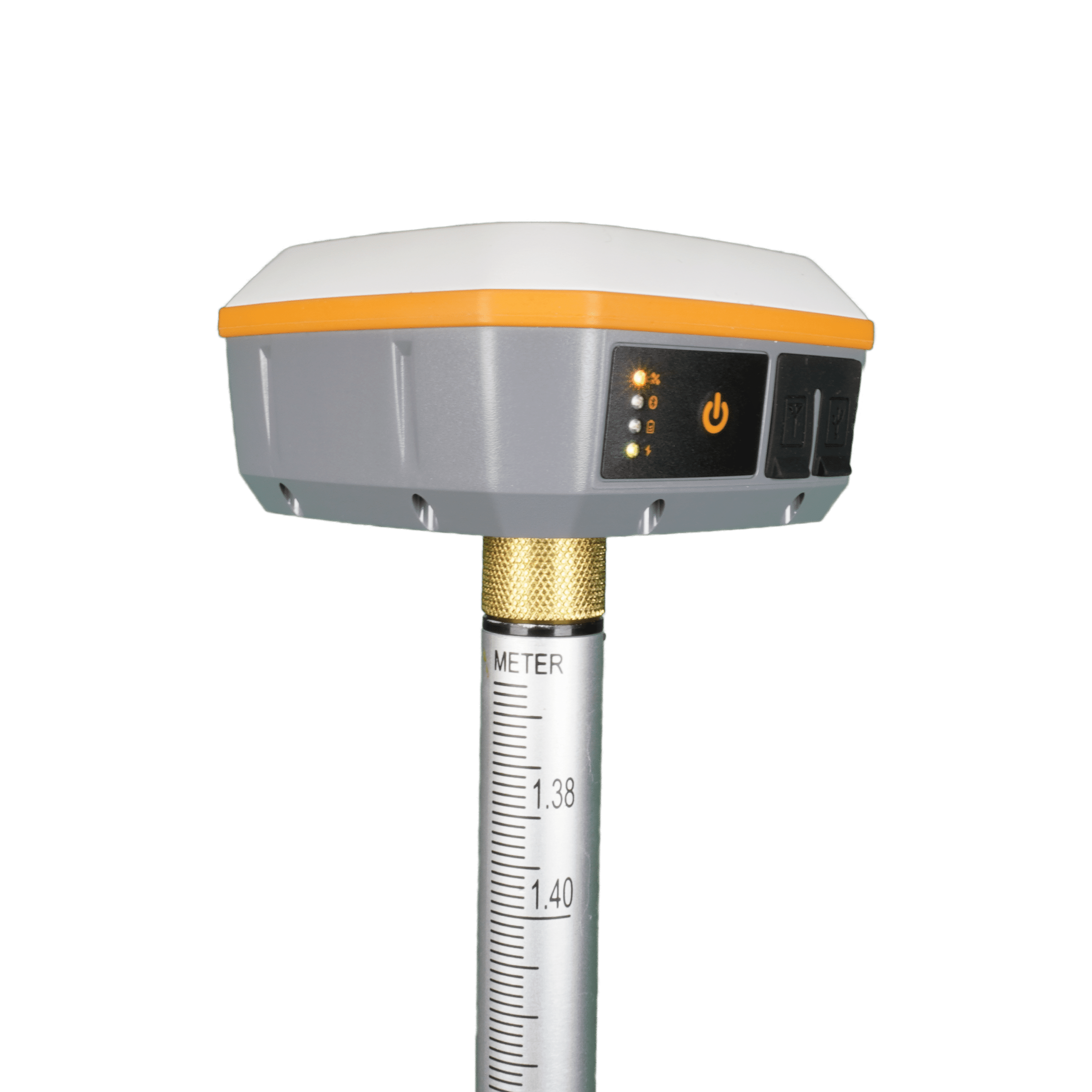
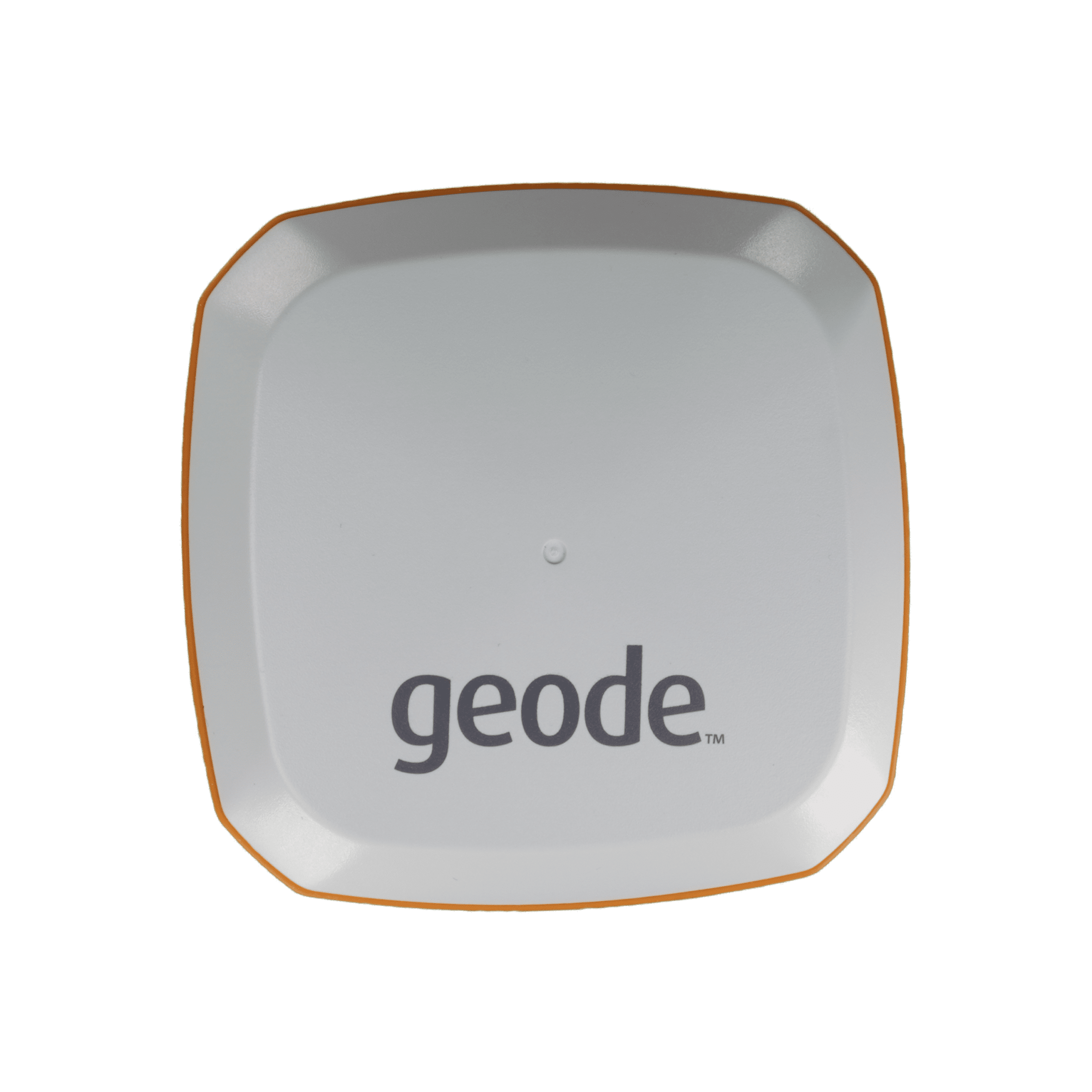
The Juniper Geode is a GNSS receiver optimized for GIS and sub-meter mapping applications. It is designed to be used in difficult enviornments and is fully dust and water proof, with an MIL-STD 810G and IP68 rating. The GNS3 is third itteration of the Juniper Geode, and has taken a lot of the lessons learned from previous models to create the best one yet.Â
The Geode is the first 7th generation RTK reciever from Juniper. The GNS3 has the ability to receive corrections from all major constellations, and multi-frequency signals. It also has access on the upgraded GNS3M model to receive L-Band corrections from Hemisphere’s Atlas constellation.Â
The Geode GNS3 is designed to provide a stable, repeatable and reliable position to within a meter. Where SBAS corrections are available (which includes all of North America), accuracies better than 0.5 m can be acheived. With the ability to access Atlas corrections, accuracies up to 8 cm (95%) can be acheived on a standalone receiver. Â
All-In-One Design
The Geode is designed to be entirely self contained, and exceptionally easy to pick-up and use. All the features and functionality you need are either on-board the reciever, or can be augmented by the completely free Juniper Geode Connect Application.Â
The Geode contains an internal 6000 mAh internal Li-Ion battery that allow for up to 16 hours of use (GNS3S Model). With the universal micro USB connector it is exceptionally easy to charge the device in the field, or at the end of a long day.Â
The Geode can connect to a variety of different programs, either as a Juniper Geode or an NMEA device. This includes popular programs like ESRI, FieldGenius, and Juniper’s own Uinta. This means that you can work with the software you are familiar with. It is also compatible with Windows, Android and IOS devices.Â
FAQs
The Geode is designed primarily for GIS and sub-meter mapping workflows, with SBAS providing better-than-0.5 m accuracy where coverage is available. If your work requires centimeter-level positioning for boundary, construction, or survey control, the RTK-enabled configuration is the more appropriate choice.
The GNS3S is the single-frequency configuration, while the GNS3H supports multi-frequency and multi-constellation GNSS and can be upgraded for Atlas L-band corrections. The GNS3H is the better choice when your projects require more advanced positioning capabilities or greater flexibility in correction sources.
Yes. The Geode can output standard NMEA data and is compatible with software and platforms including Esri, FieldGenius, and Juniper Uinta. It can also connect to Windows, Android, and iOS devices, making it easier to integrate into an existing GIS workflow.
Not necessarily. The receiver can operate autonomously or use SBAS corrections for improved positioning, while Atlas corrections are available on compatible configurations through a subscription. The right correction source depends on whether your project calls for general mapping, sub-meter accuracy, or more advanced positioning.
Yes. The receiver uses a 6,000 mAh internal battery, with published runtime varying by configuration, and the unit is designed for portable field use. The rugged enclosure is rated IP68 and built to MIL-STD 810G requirements for demanding outdoor conditions.
Yes. The GNS3 includes an external antenna port in addition to its integrated GNSS antenna. This can be useful when your workflow requires a different antenna setup or the receiver needs to be positioned separately from the antenna.
If your current work is sub-meter mapping but you expect to move into applications requiring centimeter-level positioning, choosing an RTK-capable configuration from the start can provide more flexibility. The Geode product page allows RTK and Atlas upgrades to be selected as part of the configuration.


Troy Marfleet –
I love my Juniper DGPS geode! Quick shipping too!
Colten Cornell –
Extremely professional and helpful staff. Great to work with to find the right product to service your needs. We purchased Juniper software along with geodes and are very impressed with the simplicity to operate combined with accurate results. Highly recommend doing business with BenchMark.
Alexandre Asselin –
Rene and his team are qualified professionals
Thank you for your excellent services.
Michael Ferrusi –
Rene and team were excellent to deal with. Quick shipping and great pricing!
Philip Jarvis –
Bought a Geode 3S to pair with Field Maps app to log appurtenances across our district. Has made data logging exponentially faster and more accurate. Ask for David, his knowledge and customer service is top notch!