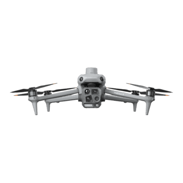
Search
Close this search box.
Search
Close this search box.

DJI Mavic 3 Enterprise RTK – Photogrammetry Drone

The DJI Mavic 3 Enterprise RTK drone stands as a cutting-edge solution tailored for precision photogrammetry endeavors. By integrating Real-Time Kinematic (RTK) technology, this drone guarantees remarkably accurate geolocation data through satellite positioning and ground station corrections. Its advanced camera system adeptly captures high-resolution imagery from multiple angles, allowing seamless 3D reconstruction and mapping of diverse landscapes and structures. Seamlessly fusing RTK capabilities with sophisticated imaging, the Mavic 3 Enterprise RTK drone empowers professionals in fields like surveying, mapping, and agriculture to attain unparalleled accuracy and intricacy in their photogrammetry projects.

Additional product info

Detailed quote form

Request A Free Quote – Mavic 3

"*" indicates required fields

Drone Options

Select Drone

Accessories Options

Select Accessories

RTK Options

Select RTK Option
Name*
Call In?
Receive text messages from us?

By submitting this form, you hereby agree to receive communications from Bench Mark

Product details

  • Centimeter Level Positioning with NTRIP Corrections
  • No GCPs Required
  • Hemisphere S631, CanNet, BrandtNet, Smart Net and CORS Network Compatible
  • Quick Set Mission Profiles
  • Photo Replication
  • Multi-Battery Missions
  • 45 Minute Flight Time

Package includes

  • DJI Mavic 3 Enterprise
  • 6k Camera
  • Gimbal Cover
  • Spare Propellors
  • Smart Charging Cable and Block
  • DJI Charger
  • Batteries
  • Hard Case
  • SD Card
  • RTK Module
  • Controller

Description

DJI Mavic 3 Enterprise

DJI, a trailblazer in unmanned aerial vehicles (UAVs) and robotics since its inception, has garnered renown for its state-of-the-art technology and top-tier products. Driven by a commitment to provide accessible yet reliable aerial solutions, DJI boasts a diverse array of drones tailored for both leisure and professional applications, along with industrial-grade UAVs catering to a myriad of uses.

What distinguishes DJI is its unyielding dedication to research and development, channeling substantial resources into innovation to redefine the frontiers of the drone industry. Comprising a dedicated team of engineers and designers, the company engineers products that excel in both performance and functionality. These drones prioritize user-friendly interfaces and intuitive controls, ensuring adaptability for novices and seasoned pilots alike.

The Mavic 3 Drone

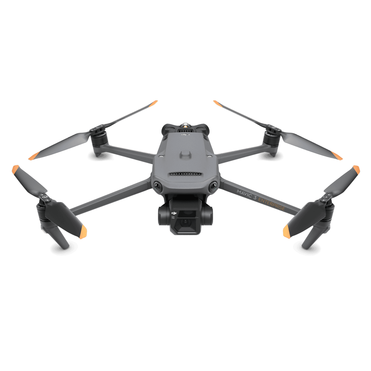
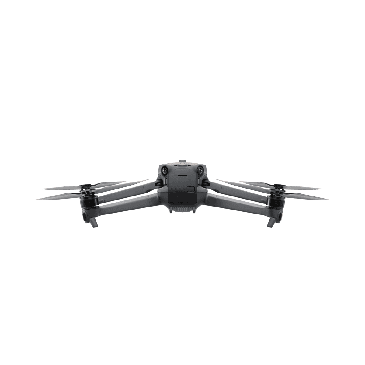
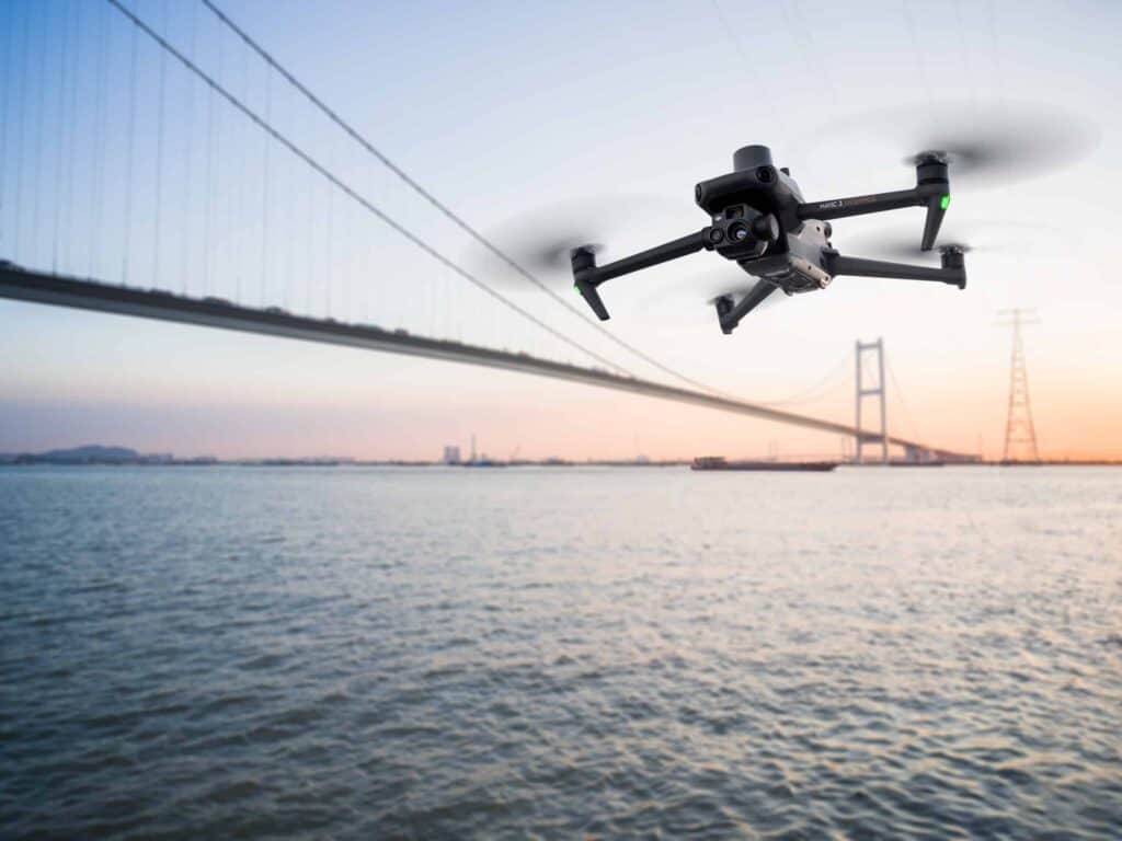
At the core of DJI’s offerings lies the Mavic 3 Enterprise RTK Drone, meticulously designed to cater to surveyors and professionals in the mapping and land surveying sector. An epitome of photogrammetry tools, the Mavic 3 Enterprise RTK leverages cutting-edge technology to revolutionize how surveyors capture and analyze data.

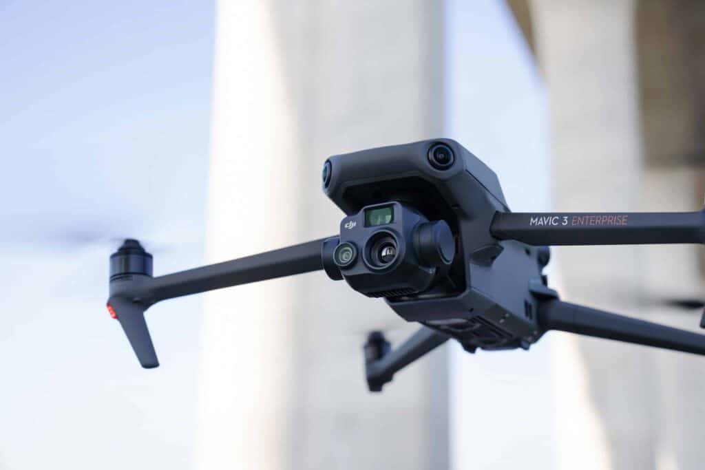
Boasting an industry-leading camera and sensor, the Mavic 3 Enterprise RTK produces imagery of unparalleled quality and precision. This high-resolution output equips surveyors with the precise and intricate data necessary for tasks such as mapping, orthophoto generation, and 3D modeling. The drone’s capacity to capture both photos and videos enables comprehensive site documentation and effective data analysis.

With an impressive flight time of up to 46 minutes, the Mavic 3 Enterprise RTK empowers surveyors to cover expansive areas in a single flight, mitigating the need for multiple excursions and optimizing efficiency. 

Easy and Safe Flying

Safety and accuracy during flights are paramount, and the Mavic 3 Enterprise RTK addresses these concerns with an advanced obstacle avoidance system. Supported by cutting-edge vision sensors, this feature empowers the drone to detect and navigate around obstacles in real time, ensuring dependable operation even in intricate surveying scenarios.

The DJI Mavic 3 Enterprise RTK Drone empowers surveyors with unparalleled capabilities, efficiency, and accuracy in the realm of photogrammetry. It pioneers a new era of precision in mapping and land surveying projects, epitomizing the future of surveying technology.

Reviews

There are no reviews yet.

Be the first to review “DJI Mavic 3 Enterprise RTK – Photogrammetry Drone”

Your email address will not be published. Required fields are marked *