

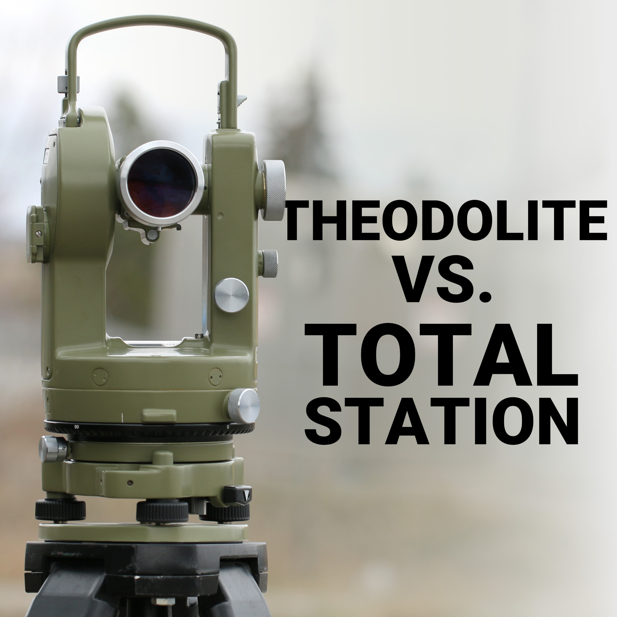
A land surveyor setting out a subdivision in Alberta and a structural engineer checking the plumb of a bridge pier in Ontario are solving two very different problems. Yet both might reach for what looks like the same tripod-mounted instrument.
The confusion between theodolites and total stations runs deep across Canadian survey crews, especially among newer technicians who learned on modern gear and never touched a purely optical instrument. Understanding what separates the two, angle measurement versus a full spatial data package, changes how you budget for equipment, how you train staff, and how fast your crew moves through a job site.
This guide breaks down what each instrument actually does, where each one still earns its keep, and how to decide which belongs in your truck.
Key takeaways:
What a Theodolite Actually Measures
What a Total Station Adds
Where a Theodolite Still Makes Sense
Total Station vs. Theodolite: Side-by-Side
Why This Choice Matters More in Canada
Making the Call for Your Crew
Match the Tool to the Terrain
A theodolite is an angle-measuring instrument, nothing more and nothing less. It rotates on a precision horizontal axis and vertical axis, letting the operator read angular values with a high degree of accuracy, often to a few arc-seconds on survey-grade models.
Optical and electronic theodolites are both still manufactured, though optical units have become rare outside training programs and specialty applications.
What a theodolite cannot do is measure distance. Every linear measurement in a theodolite-based workflow has to come from somewhere else: a steel tape, a separate EDM unit, or manual chaining. That limitation shapes the whole workflow:
For crews doing purely angular work, checking plumb on a tall structure, verifying a column grid where distances are already fixed, that limitation barely matters. For a modern construction or land development project, it becomes a serious bottleneck.
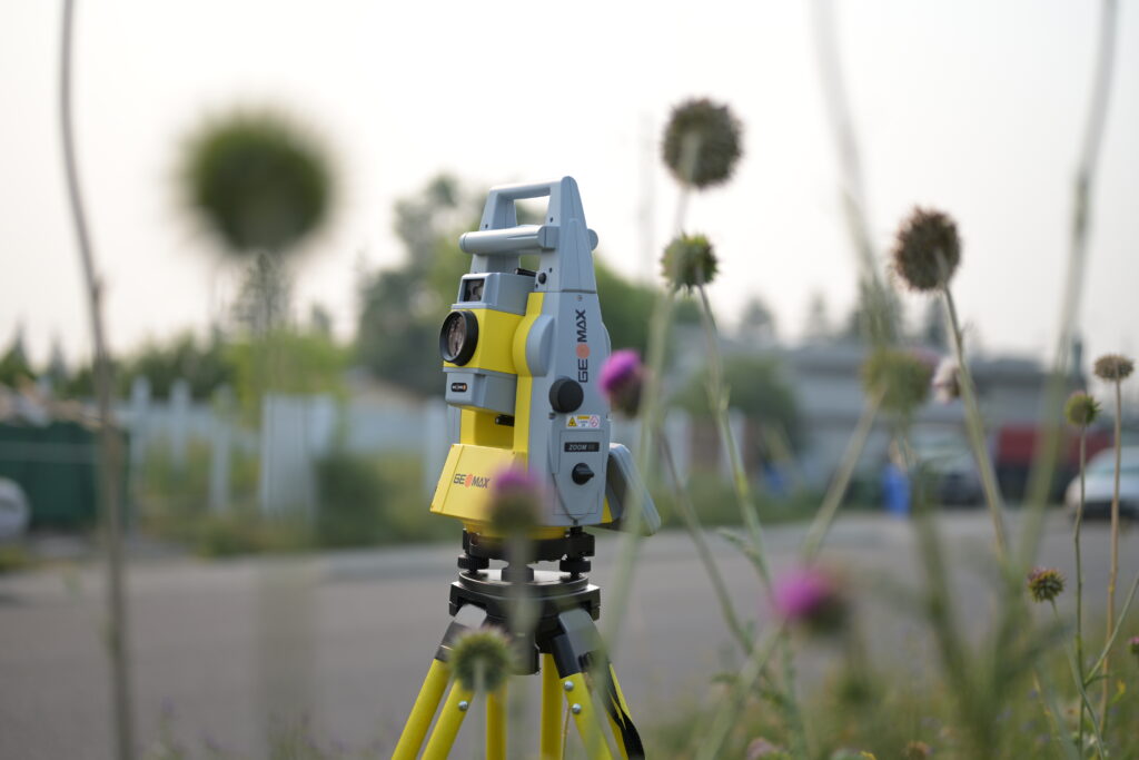
A total station takes the angle-measuring core of a theodolite and integrates it with an electronic distance measurement module and an onboard computer. The result is a single instrument that captures horizontal angle, vertical angle, and slope distance simultaneously.
It also does the coordinate geometry math internally and stores the result on the spot. Reflectorless models on the market today commonly measure out to several hundred metres with millimetre-level distance accuracy, more than enough for the vast majority of Canadian construction and engineering layout work.
The practical difference shows up in daily output. A crew running a total station stakes out points, checks as-built conditions, and exports directly to CAD or a data collector running software like FieldGenius. None of that requires stopping to hand-compute a coordinate.
That workflow advantage is why total stations, not theodolites, have become the default instrument on nearly every active job site in Canada, from land development sites to road and rail corridors.
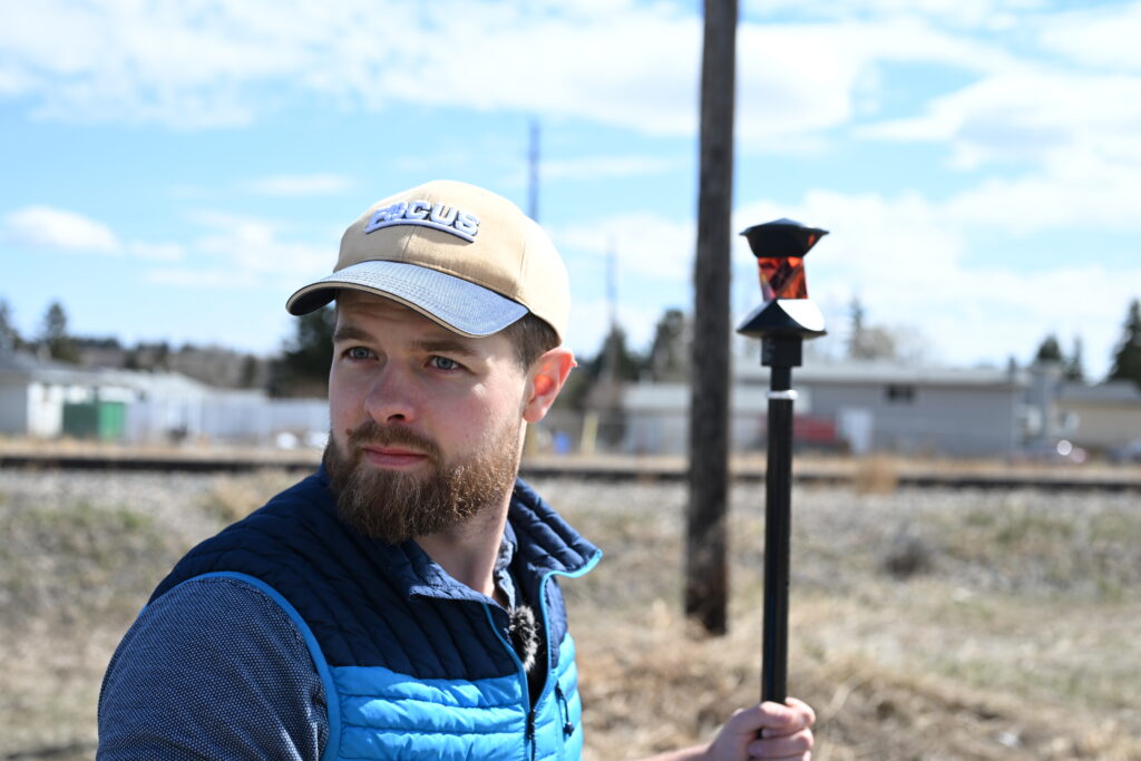
Robotic total stations push this further. With motorized drives and automatic target recognition, a single operator can carry the prism while the instrument tracks and measures on its own. On large-scale sites, mine monitoring projects, or continuous deformation work, that one-person capability changes the economics of the entire survey operation.
Theodolites have not disappeared from Canadian survey work. They have simply been pushed into a narrower set of applications. A few scenarios where an angle-only instrument still holds up:
Outside of those cases, most survey and construction operations across Canada have moved on, and for good reason.
| Factor | Theodolite | Standard Total Station | Robotic Total Station |
|---|---|---|---|
| Angular accuracy | 1″–5″ | 1″–5″ | 0.5″–1″ |
| Distance measurement | Not integrated | Integrated EDM | Integrated EDM |
| 3D coordinate output | No | Yes | Yes |
| Data storage/export | Manual | Internal, CAD/BIM export | Wireless, real-time |
| Crew size | Two or more | One to two | One |
| Typical fit | Angle-only tasks, training | General layout, topo surveys | Large sites, monitoring |
Canadian survey and construction work spans terrain and climate that punish underpowered equipment. Long distances between control points on the Prairies, dense bush in Ontario and Quebec, and freeze-thaw conditions all make repeat visits to a site expensive.
A total station’s ability to capture distance and angle in one setup, then push that data straight into a project’s coordinate system, reduces how often a crew needs to return to site. On land development and subdivision work in particular, where hundreds of points need to be staked accurately and quickly, the productivity gap between a theodolite-and-tape workflow and an integrated total station workflow is difficult to justify ignoring.
None of this happens in isolation from other equipment either. A total station is only as good as the control network feeding it. Most Canadian crews now establish that control with GNSS RTK receivers before bringing the total station in for detailed layout and verification. Treating these instruments as a connected system, rather than a single purchase, tends to produce the fastest and most reliable field results.
The decision between a theodolite and a total station usually comes down to what your work actually demands, not brand loyalty or habit.
A firm doing occasional boundary checks with no requirement for digital 3D deliverables can still get by on a well-maintained theodolite at a fraction of the cost. A firm working construction layout, topographic surveys, or any project requiring coordinate data for CAD or BIM needs the integration a total station provides, and that describes most Canadian survey and construction operations today.
At Bench-Mark, this is a conversation we have with crews across Canada and the US regularly. The right instrument depends on site conditions, crew size, and the deliverables a project actually calls for, not just what a competitor’s dealer happens to have in stock. Bench-Mark works across both markets from a single office, so the recommendation is based on what performs in the field rather than what’s easiest to sell locally.
Total station brands like GeoMax bring reliable performance to construction and general layout work without the premium price tag of the largest manufacturers, giving crews a practical middle ground between an entry-level instrument and top-tier equipment.
Choosing between a theodolite and a total station is not about picking the newer or flashier option. It comes down to matching the instrument to the actual demands of your site, your crew size, and your deliverables.
A theodolite still has a role in angle-only work and training, but for the layout, monitoring, and data-heavy projects that define most of today’s Canadian construction and survey landscape, a total station earns its higher price tag through speed, accuracy, and integration. Get the fundamentals of each instrument right, and the rest of your field workflow, from control network to final as-built, falls into place around it.
