

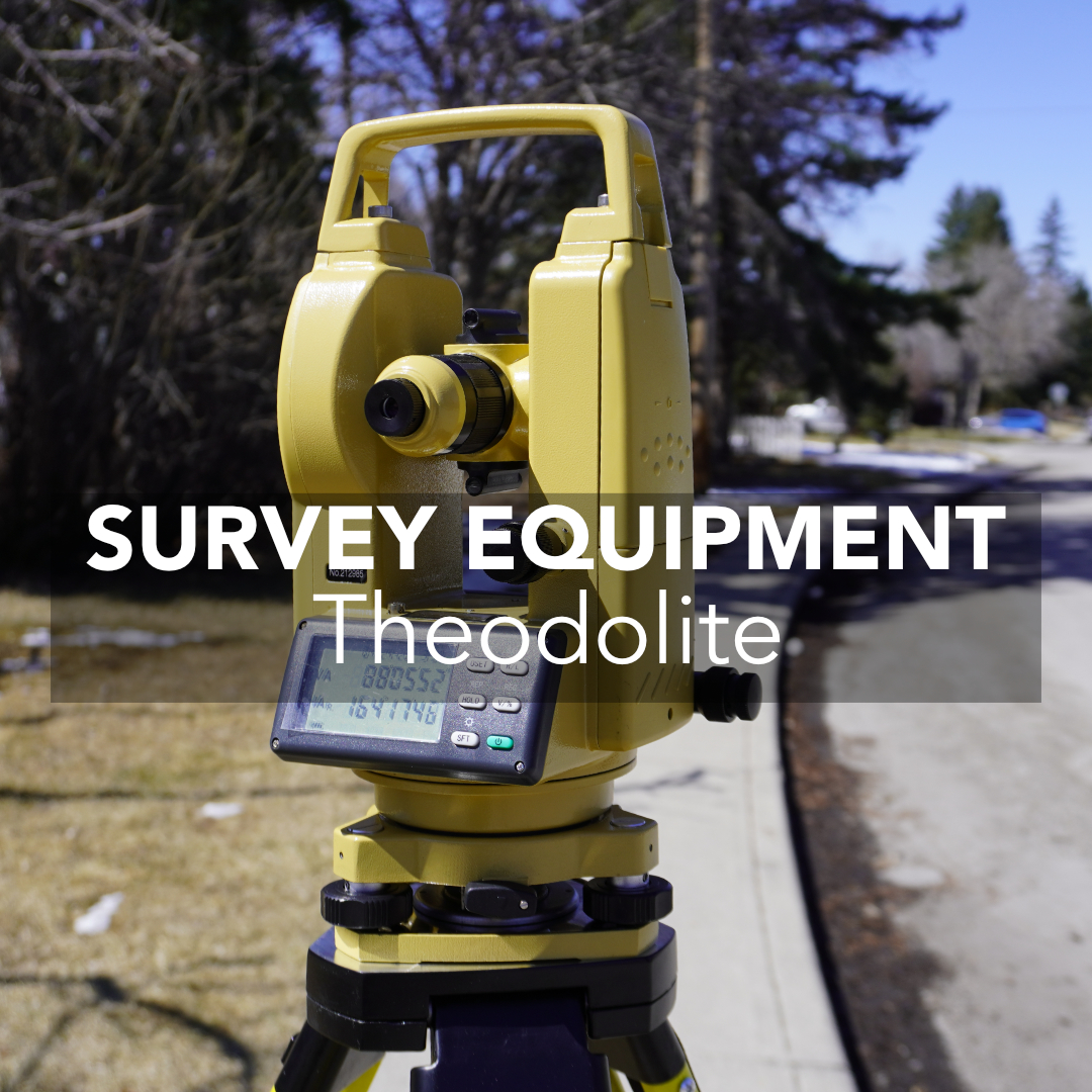
In most Canadian survey workflows today, RTK GNSS and robotic total stations carry the majority of the workload. They’re fast, efficient, and designed for one-person crews, exactly why systems like the Hemisphere S631 dominate daily field operations. But there are still situations across Canada where a straightforward theodolite remains the more reliable option. Not because it’s old, but because angle-based measurements sometimes outperform anything dependent on satellites or EDM.
The real question Canadian surveyors face isn’t “total station or GNSS?”, it’s when is a theodolite the right tool for the conditions?
Why Theodolite Surveying Still Matters in Canada
Where Theodolites Outperform GNSS and Total Stations in Canada
How Theodolites Fit Into Modern Canadian Survey Workflows
Why Angle-Only Tools Still Perform So Well
How a Theodolite Strengthens Your Overall Survey Setup
Theodolites as a Quality Tool in Canadian Surveying
Project Types in Canada Where Theodolite Surveying Still Makes Sense
When a Theodolite Is the Better Choice
Final Thoughts
Canadian survey environments are rarely ideal. Forest canopy, steep slopes, dense steel, and downtown corridors can all break GNSS workflows. Often, when you’re in the middle of layout or verification. A theodolite cuts through these conditions because it’s resistant to the two things that disrupt modern systems most: blocked sky and reflective surfaces. Surveyors still rely on theodolites for three reasons that show up again and again in Canada:
Outside of ideal open-sky conditions, these advantages matter a lot more than most people admit.
Beyond field convenience, theodolites still carry weight in areas where the stakes are highest. Legal surveys often rely on angle-based relationships between control points, and a theodolite is what connects new measurements to older cadastral records in a way that holds up to scrutiny. Engineering verification is another area where theodolites earn their keep: when a design calls for tight angular tolerances, engineers still want a direct angle observation, not just a derived GNSS coordinate.
On top of that, theodolites remain a core quality assurance tool. When a robotic total station or RTK reading looks questionable, a quick theodolite check is often the fastest way to confirm whether the problem is the site or the instrument.
Infrastructure standards in Canada also reflect this. Government and engineering guidelines for roads, bridges, and other public works generally call for redundant, defensible measurements, and angle-first observations satisfy that requirement in a way that’s simple to document and repeat.
Even as GNSS and total stations take on more of the daily workload, angle measurement is still the fundamental building block underneath every other survey method, which is exactly why theodolites haven’t disappeared from Canadian field kits.
A theodolite is a precision optical instrument used to measure horizontal and vertical angles between points. Surveyors use it to establish control points, check alignments, and verify angular relationships on a site.
It works by combining an optical or laser plummet, a bubble level, and two graduated circles, one horizontal and one vertical. The plummet centers the instrument directly over the survey point, the level ensures it’s standing perfectly upright, and the graduated circles are what the surveyor reads to record the horizontal and vertical angles once the telescope is aimed at a target.
The main components include:
The key difference between a theodolite and a total station is scope: a theodolite measures angles only, while a total station combines a theodolite with an Electronic Distance Measurement (EDM) unit, so it can measure angles and distances at the same time and calculate coordinates automatically. A theodolite requires the surveyor to pair its angle readings with a separate distance measurement, while a total station handles both in one setup.
Downtown Vancouver, Calgary, Toronto, and Montréal are difficult environments for GNSS. Tower cranes, scaffolds, reflective facades, and metal structures all destabilize fixes. If you’re aligning formwork, checking a grid, or confirming a baseline next to structural steel, a theodolite will often give the cleanest result of the three major instrument types.
A large portion of Canada involves variable sky visibility. Under canopy, along steep rock faces, or on small sites in the North, GNSS simply can’t guarantee consistent results. A theodolite doesn’t care about satellite visibility. It measures angles reliably, whether you’re in the woods, tucked against a slope, in a building or setting up in a narrow clearing.
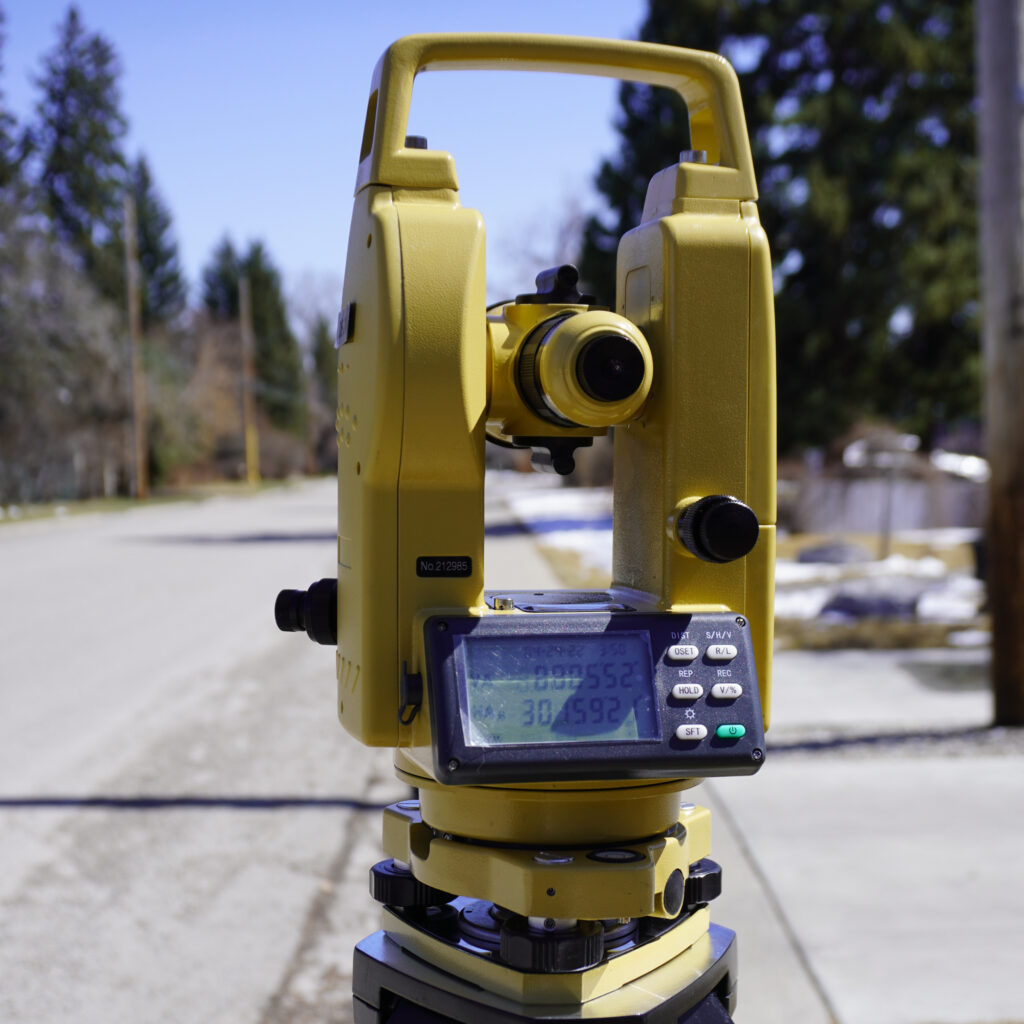
Legal descriptions across Canada still rely heavily on bearings and angles. Even if GNSS establishes the coordinate framework, theodolites help connect new data with older cadastral descriptions and confirm relationships between control points. When a boundary retracement needs defensible angular checks, surveyors still reach for a theodolite.
Theodolites aren’t standalone tools anymore; they’re used as a complement to RTK GNSS and total stations. A typical workflow looks like this:
This hybrid approach is common because Canadian sites change hour by hour. Having a theodolite in the mix keeps the field crew productive instead of waiting for conditions to improve.
Each instrument has a role, and the right choice usually comes down to accuracy needs, site conditions, and budget:
A theodolite measures horizontal and vertical angles only, with no built-in distance measurement. It’s most valuable in angle-critical, sky-restricted, or legally sensitive situations, and its main limitation is that distances must be measured separately. It requires a clear line of sight but no satellite visibility, and it’s generally the lowest-cost option of the three.
A total station measures angles and distances together, calculating coordinates automatically. It’s ideal for boundary surveys, construction staking, and any line-of-sight work where GNSS multipath is a problem. Its main limitation is that it still needs a clear line of sight to the target, and it costs more than a standalone theodolite.
GNSS/RTK systems measure position directly using satellite corrections, delivering centimeter-level accuracy over large areas quickly. They’re ideal for open-sky topographic surveys, corridor mapping, and fast control work, but they’re limited by tree cover, tall buildings, and reflective surfaces, and pricing is generally comparable to or higher than a total station.
| Instrument | Measures | Best For | Main Limitation | Required Conditions | Relative Cost |
| Theodolite | Angles only | Angle-critical, sky-restricted, or legal work | No built-in distance measurement | Clear line of sight | Lowest |
| Total Station | Angles + distances | Boundary surveys, construction staking | Needs clear line of sight | Line of sight, stable setup | Mid to high |
| GNSS/RTK | Position (coordinates) | Open-sky, large-area, topographic work | Blocked by canopy, buildings, reflective surfaces | Open sky visibility | Mid to high |
Theodolites remain relevant because their measurement mechanics are simple, predictable, and stable. Modern RTK systems rely on continuous signal tracking and correction streams; robotic total stations depend on line-of-sight and clean EDM returns.
Theodolites, on the other hand, measure geometry directly. There are no correction links to drop, no prisms to reflect poorly, and no satellite constellation issues to navigate. For many Canadian firms, especially those working in forested land development or mixed-use construction, this simplicity is a safeguard.
A theodolite isn’t meant to replace your GNSS or robotic total station. It’s meant to support them. It’s the part of your toolkit that gives you clean geometry when your primary system is dealing with uncertainty. If your GNSS receiver struggles with sky visibility or your total station is fighting reflections, a theodolite gives you a stable reference you can trust.
The real value shows up in how it helps maintain consistency across your entire workflow. A theodolite lets you confirm baselines, check angles, and validate setup positions without interrupting the rest of your equipment. This is especially useful when your control network spans different terrain types: clearings, tree lines, tight corners, or areas with heavy equipment.
It’s also one of the easiest tools to integrate into a fast-moving field day. You don’t need to wait for a fix, adjust radio settings, or maintain a lock on a prism. You set it up, level it, and take the angles you need. That simplicity reduces downtime and lets you keep your layout or verification work on schedule, even if your primary system is temporarily down or drifting.
When you look at your whole setup, the theodolite’s role is clear. It protects your workflow against environmental limitations, keeps your measurements defensible, and lets you keep moving when the site doesn’t cooperate. Every surveyor who has worked across different Canadian environments knows that conditions can change quickly. A theodolite gives you the flexibility to adapt without losing accuracy.
Survey crews often use theodolites for one more reason: quality assurance. When an RTK or robotic station result doesn’t feel right, theodolite observations create a quick sanity check. This is especially useful on:
Canadian firms frequently treat theodolite measurements as the final confirmation step before layout approvals or before staking structures with high liability.
Bridge alignments, rail corridors, and road improvements require extremely stable angular geometry. Steel, equipment, and moving machinery can compromise GNSS, and total stations may struggle with reflections. A theodolite provides the simplest path to clean alignment checks.
Highway crews use theodolites for route alignment, horizontal and vertical curve setting, and centerline establishment. Roadwork often runs through cuts, embankments, and areas with heavy equipment traffic, all conditions that can disrupt GNSS, making direct angle measurement a dependable backup.
Bridge projects need precise pier and abutment alignment, often near water or structural steel that interferes with satellite signals. A theodolite lets crews confirm angular relationships between piers independent of GNSS conditions.
Rail corridors demand tight, consistent geometry over long distances, and existing rail infrastructure can create the same steel-related interference that affects urban construction sites. Theodolites help establish and verify centerlines and curves without relying on a clean satellite fix.
Underground work rules out GNSS entirely. Surveyors use theodolites to maintain alignment from both ends of a tunnel, ensuring the excavation meets correctly at breakthrough.
Dam construction requires precise axis layout and ongoing monitoring for structural movement. Theodolites give engineers a angle-based method to track this movement over time, independent of satellite visibility near large concrete or earth structures.
Foundation layout, column positioning, and verticality checks on building sites often happen close to structural steel and formwork, conditions where a theodolite’s angle-only measurement avoids the multipath issues that can affect GNSS and total stations.
GNSS often can’t follow a crew underground or along the walls of an open pit. For shaft alignment, tunnel offsets, or pit wall observations, theodolites handle the geometry without relying on satellites or EDM reflections.
While GNSS and drones typically handle large-scale topographic mapping, theodolites are still useful for filling in gaps in canopy-covered or steeply sloped terrain where satellite visibility drops out mid-survey.
It can be confirming control, monitoring movement, or verifying robotic or GNSS measurements. Angle-first observations provide the redundancy required for engineering and government standards. Theodolites act as the second opinion instrument when the data must be defensible.
Getting a reliable angle reading starts with a careful setup:
Following these steps in order, rather than rushing setup to save time, is what separates a defensible theodolite survey from one that has to be redone.
Even a well-maintained theodolite can produce inaccurate results if crews aren’t careful. Errors generally fall into three categories:
Instrument errors come from the theodolite itself, such as a misaligned telescope, worn clamp screws, or an improperly calibrated circle. Regular calibration and a quick inspection before each job go a long way toward catching these early.
Operator errors happen during observation, things like incorrect centering, poor leveling, or misreading the angle scale. Following a consistent setup routine and double-checking readings before leaving the site helps minimize these mistakes.
Environmental errors come from site conditions: strong wind, temperature swings, heat shimmer, or poor visibility can all distort a reading. Scheduling observations during stable weather and maintaining a clear line of sight helps reduce this source of error.
Improving accuracy ultimately comes down to three habits:
If the project is angle-critical, sky-restricted, or legally sensitive, theodolite surveying is usually the better call.
A theodolite is used to measure horizontal and vertical angles precisely. Surveyors rely on it to establish control points, check alignments, verify boundaries, and support construction layout, especially in conditions where GNSS or total stations struggle.
Not on its own. A theodolite measures angles only, so surveyors pair it with a separate distance measurement, such as a tape or EDM device, when distance data is needed alongside the angle readings.
A theodolite measures angles only, while a total station combines a theodolite with an EDM unit to measure angles and distances together and calculate coordinates automatically.
Yes. While GNSS and robotic total stations handle most day-to-day work, theodolites remain valuable in Canada for sky-restricted sites, steel-heavy construction areas, legal boundary work, and quality assurance checks.
Digital theodolites offer high angular precision, generally accurate enough for demanding engineering and legal survey work, and they reduce reading errors compared to older optical models since the angle displays digitally instead of requiring a manual scale reading.
Reach for a theodolite when canopy, buildings, or terrain block satellite visibility, when nearby steel or equipment causes heavy multipath interference, or when a legal description requires a defensible angle-based measurement instead of a GNSS-derived coordinate.
Canadian surveying demands flexibility. RTK GNSS and robotic total stations are now the basis of most jobs. However, theodolites remain the tool that keeps work moving when sky visibility drops, reflections spike, or a boundary check needs clean angular geometry. Knowing when to switch to theodolite surveying is a sign of a surveyor who understands the realities of Canadian terrain, infrastructure, and legal standards.
