

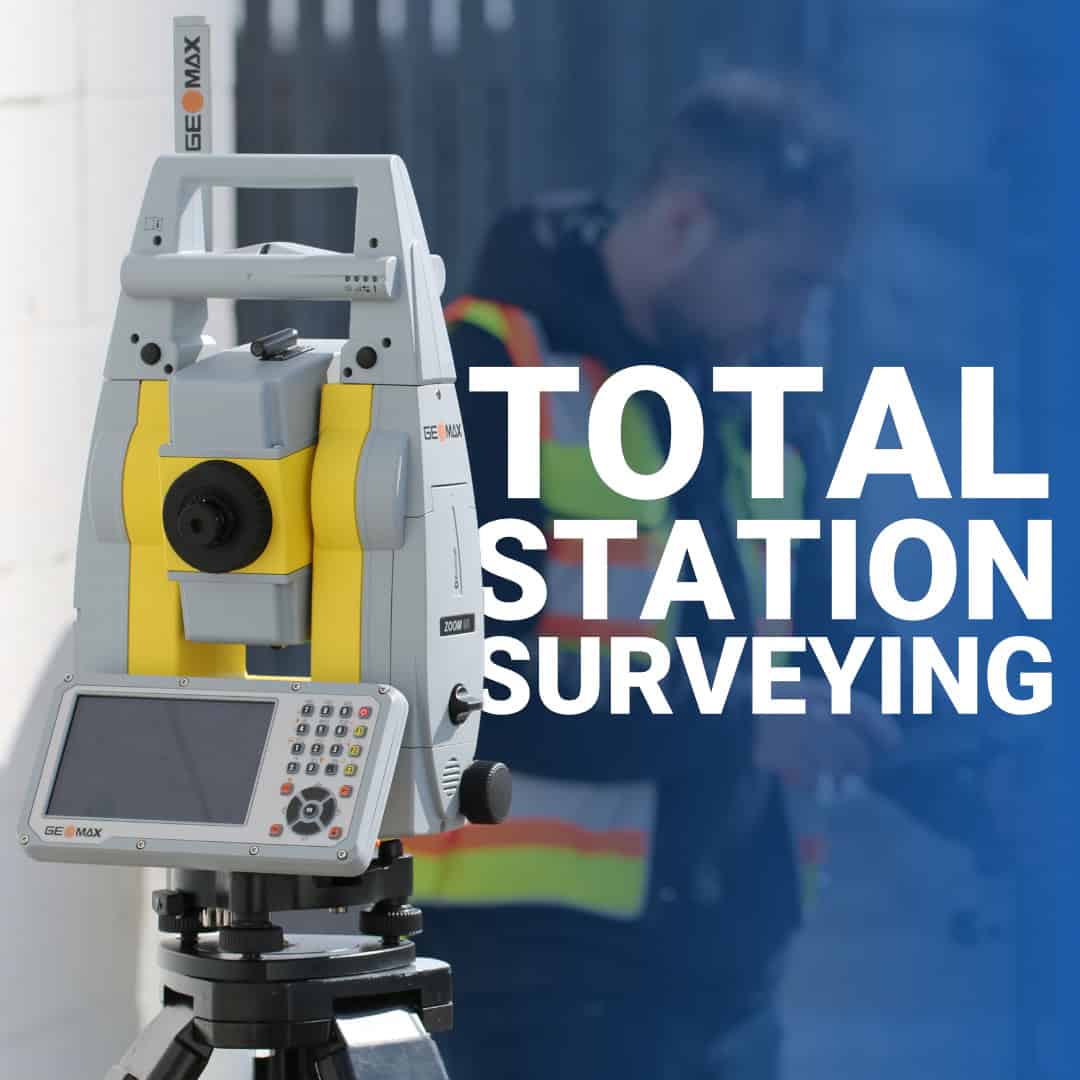
Total stations have been part of professional surveying for decades, but they’re often misunderstood as GNSS and RTK systems are more popular. If you’re asking what is a total station in surveying, the answer has to be practical.
A total station is still one of the most precise, reliable tools a surveyor can use, particularly on construction sites and in environments where satellite-based positioning struggles. In Canadian conditions, a total station for surveying often becomes the instrument that saves a project from rework.
What Is a Total Station in Surveying?
Core Components of a Total Station
How Total Stations Are Used in Surveying
Total Station Types: Manual vs. Robotic
Key Advantages of Total Station Surveying
Total Stations Remain Essential for Precision Work
A total station is an electronic surveying instrument that measures both horizontal and vertical angles along with distances to create precise coordinate data. It’s basically a theodolite (an angle-measuring device) integrated with an electronic distance meter (EDM) and an onboard computer that processes measurements in real time.
The instrument works by sending out an infrared or laser beam that reflects off either a prism or a surface, then calculates distance based on the time it takes for the signal to return. Simultaneously, it measures the horizontal and vertical angles to the target. The onboard computer combines these measurements to determine coordinates, elevations, and spatial positions with millimeter-level accuracy.
Total stations work independently of external infrastructure in environments where satellite visibility is limited: urban canyons, dense forests, underground sites, or anywhere tree canopy and buildings block the sky.
Total stations consist of three integrated systems that work together to deliver precise measurements:
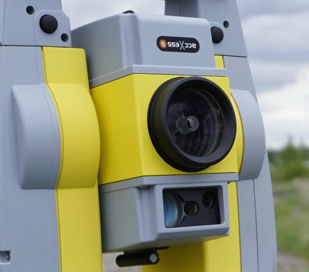
The telescope provides the optical view for aiming at targets. The theodolite measures horizontal and vertical angles using calibrated circles and an electronic readout. High-quality optics are critical for clear targeting, especially at longer distances or in low-light conditions.
The EDM sends out an electromagnetic signal (infrared or laser) that reflects off a prism or reflective surface. By measuring the time it takes for the signal to return, the EDM calculates distance with typical accuracy of 2-5 mm + 2 ppm (parts per million).
Modern total stations feature touchscreen displays that show angle measurements, distances, coordinates, and elevations in real time. The control unit processes data, stores measurements, and often runs field software like FieldGenius that handles coordinate geometry, stakeout routines, and data export.
A total station measures angles and distances together, so every field session follows the same basic order of operations.
Mount the instrument on a tripod over a known control point and level it using the built-in level.
Create a job in the data collector or onboard software, then enter the station coordinates and the instrument height.
Sight a second known point so the instrument has a direction reference for every measurement that follows.
Aim at the prism or, on a reflectorless model, at the surface, and record the horizontal angle, vertical angle, and distance.
The instrument calculates the point coordinates from those measurements and saves them to the job.
Re-measure the backsight point from time to time to confirm the setup has not shifted.
Total station surveying covers a wide range of applications across different project types and industries. Here’s how surveyors put them to work in the field:
Total stations help in capturing detailed topographic data. Surveyors shoot points across a site to record elevations, locate features like trees and utilities, and create contour maps. This data feeds into CAD and design software. This gives engineers the accurate base information they need for planning and design.
One of the most common uses for total stations is setting layout points for construction. Surveyors input design coordinates into the total station, then use the instrument to guide them to the exact location where stakes, rebar, or formwork should be placed. This process ensures that foundations, walls, utilities, and other features are positioned exactly as the plans specify.
For large projects like subdivisions or roadwork, total stations provide the control framework that keeps every trade aligned with the design. The instrument can stake out building corners, curb lines, utility trenches, and grading limits with centimeter-level precision.
After construction is complete, total stations are used to document the actual positions and elevations of built features. These as-built surveys verify that work was completed to specification and provide owners with accurate records for future maintenance or renovations.
Total stations can track movement in structures, slopes, or excavations over time. Surveyors repeatedly measure the same control points and detect shifts as small as a few millimeters. It helps specialists in monitoring dam stability, bridge deflection, or settlement in buildings during construction.
Total stations are precise enough to locate property corners, measure distances between monuments, and verify legal descriptions. They help land surveyors establish definitive property lines that stand up to legal scrutiny.
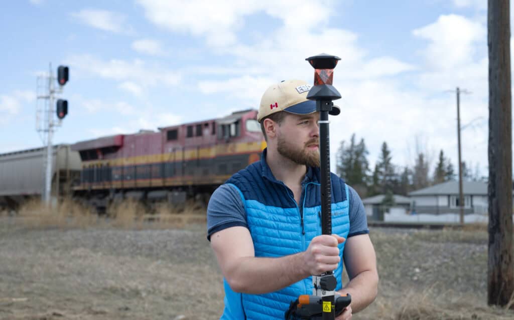
Total stations come in two main configurations, each suited to different workflows and project requirements.
Manual total stations are operated by a two-person crew: one person at the instrument and another holding the prism at each point to be measured. The instrument operator aims the telescope, takes the measurement, and records the data. Manual total stations are straightforward, reliable, and cost-effective for most surveying tasks.
Robotic total stations can track and lock onto a prism automatically. This allows a single surveyor to operate both the instrument and the prism using a remote controller. The surveyor holds the prism at the point to be measured, and the total station automatically aims, tracks, and records the measurement. This workflow increases productivity on large sites where many points need to be measured or staked.
Robotic total stations also offer remote operation for layout work. The surveyor can stand at the point where a stake needs to be placed, and the instrument guides them to the exact location through real-time positioning feedback on the controller.
Total stations possess several advantages that make them great tools for professional surveyors:
Total stations and GNSS receivers solve different problems, and many survey crews use both on the same project.
A total station does not depend on satellite signals, so it works in buildings, tunnels, urban corridors, and other dense sites where the sky is blocked. It is the usual choice for construction layout, as-built checks, monitoring, and boundary work, although it needs a clear line of sight between the instrument and the target. A robotic model lets one person run the job, while a manual model needs a second crew member at the prism.
RTK GNSS needs a view of the sky but no line of sight between points, which makes it faster for topographic surveys, control work, and staking across large open areas. A single operator with a rover can cover a lot of ground in a day.
On most projects the two tools complement each other: GNSS establishes control across the site, and the total station takes over for precise layout where satellite visibility is limited.
Accuracy is rated in two ways. Angular accuracy is given in arc-seconds, with common classes such as 1″, 2″, 3″, and 5″, and distance accuracy is given in millimeters plus parts per million. A lower arc-second number means tighter angle measurement, so control and monitoring work usually call for a higher-grade instrument than general layout.
Range depends on the model and on whether you measure to a prism or directly to a surface. Prism measurements reach farther than reflectorless ones, so check the specifications of a model against the distances on your jobs.
Not always. Reflectorless models measure to a surface without a prism, which is useful for hard-to-reach points. A prism is still preferred for long distances and for the highest accuracy.
A theodolite measures horizontal and vertical angles only. A total station adds an electronic distance meter and an onboard computer, so it also measures distance and calculates coordinates in one setup.
Total station surveying provides the accuracy and versatility that demanding projects require. When GNSS isn’t an option, you can rely on it for building a foundation, mapping a construction site, or monitoring structural movement.Our Bench-Mark team supports Canadian surveyors with total stations and accessories built for professional fieldwork. We can help you choose the right instrument and configuration for your surveying workflow. When accuracy matters, the right equipment makes all the difference!
