

Quick answer: The right robotic total station comes down to matching four specs to your work: angular accuracy (2″–5″ for most construction, 1″–2″ for precision monitoring), EDM range (100–150m for setting out, up to 500m for topo), ATR lock-on speed and reliability, and how well the instrument’s software fits your existing field-to-office workflow. Get those four right and everything else, price included, tends to fall into place.
A road crew laying out grade stakes on a Saskatchewan highway project and a structural engineer tracking millimetre-level movement on a downtown Toronto high-rise are both shopping for a “robotic total station.” They will not end up buying the same instrument, and if they do, at least one of them overpaid or under-spec’d.
Robotic total stations removed the second person from the crew years ago, letting a single operator carry the prism while the instrument tracks and measures on its own. That efficiency gain is well established. What still trips up buyers across Canada is the assumption that one spec sheet fits every job site, when in practice the right model depends heavily on range, accuracy class, and how the instrument connects to everything else in the field-to-office pipeline.
Key takeaways:
What Actually Makes a Total Station “Robotic”
EDM Range: Matching Distance to Task
Angular and Distance Accuracy: What the Numbers Mean in the Field
Features That Separate a Good Instrument From a Great One
Matching the Instrument to Your Project Type
Software and Workflow: The Part Buyers Often Underweight
Choosing the Instrument That Actually Fits Your Site
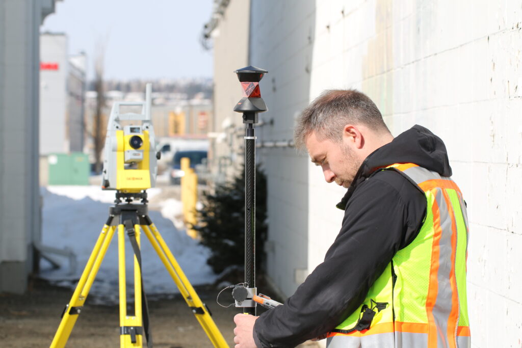
A conventional total station needs two people: one running the instrument and one holding the prism. A robotic model removes that requirement through automatic target recognition, or ATR, which locks onto the prism and rotates to follow it as the surveyor moves across the site.
Instrument control shifts to a radio-linked data collector in the surveyor’s hand. That shift enables a genuinely single-operator workflow:
On Canadian sites where labour costs and short weather windows both push hard against the schedule, that single-operator model changes the economics of a survey crew.
The electronic distance measurement range determines how far the instrument reliably measures to a target, and it varies by task rather than by brand alone.
One distinction worth checking independently: prism range and reflectorless range are not the same number. Reflectorless measurement, aiming directly at a surface without a prism, typically falls well short of prism range. If reflectorless shots are a regular part of your workflow, verify that figure on its own rather than assuming it matches the headline range.
Accuracy specs get quoted in two forms, and both are worth translating into real-world terms before comparing models.
Angular accuracy is expressed in arc-seconds. A 1″ instrument produces roughly 0.5 mm of lateral error at 100 metres, climbing to around 5 mm at 1,000 metres. A 5″ instrument runs about five times larger at the same distances. For structural monitoring or precision layout, the gap between a 1″ and 2″ instrument can be the difference between a result within tolerance and a costly re-shoot.
Distance accuracy combines a fixed component with a proportional part, typically written as something like 1 mm + 1.5 ppm:
For most construction layout across Canada, 1–2 mm plus 1–2 ppm covers the requirement comfortably.
Not every robotic total station on the market performs the same way once it leaves the spec sheet and hits a job site with wind, dust, and obstructions.
The right choice depends less on the newest technology available and more on what the crew actually does day to day.
Bench-Mark works with survey and construction crews across Canada and the US on exactly this kind of matching exercise, because the wrong accuracy class either wastes budget on capability nobody uses or leaves a crew short on a job that demands more. Our robotic total stations lineup is built around that range of project types.
A robotic total station rarely operates on its own. Its value multiplies or shrinks depending on how well it connects to the data collector, field software, and office processing tools a crew already relies on. Before finalizing a purchase, check the following:
An instrument that checks these boxes saves far more time over a project’s life than a marginal accuracy upgrade. Treat integration as part of the total system cost when comparing models, not as an afterthought once the hardware decision is already made.
For crews stepping up from a conventional total station or looking for a mid-range model that balances accuracy, ATR performance, and price, the GeoMax Zoom95 sits in that practical middle ground without the premium attached to the largest manufacturers’ flagship lines.
The best robotic total station on paper means little if it outpaces what your projects demand or falls short where it counts. Start with the task, setting out, topo, or precision monitoring, then work backward through accuracy class, range, and ATR performance before software and price enter the conversation. A model matched to real site conditions will outperform a higher-spec instrument bought on reputation alone, and it will do it for less money and fewer headaches over the life of the equipment.
