

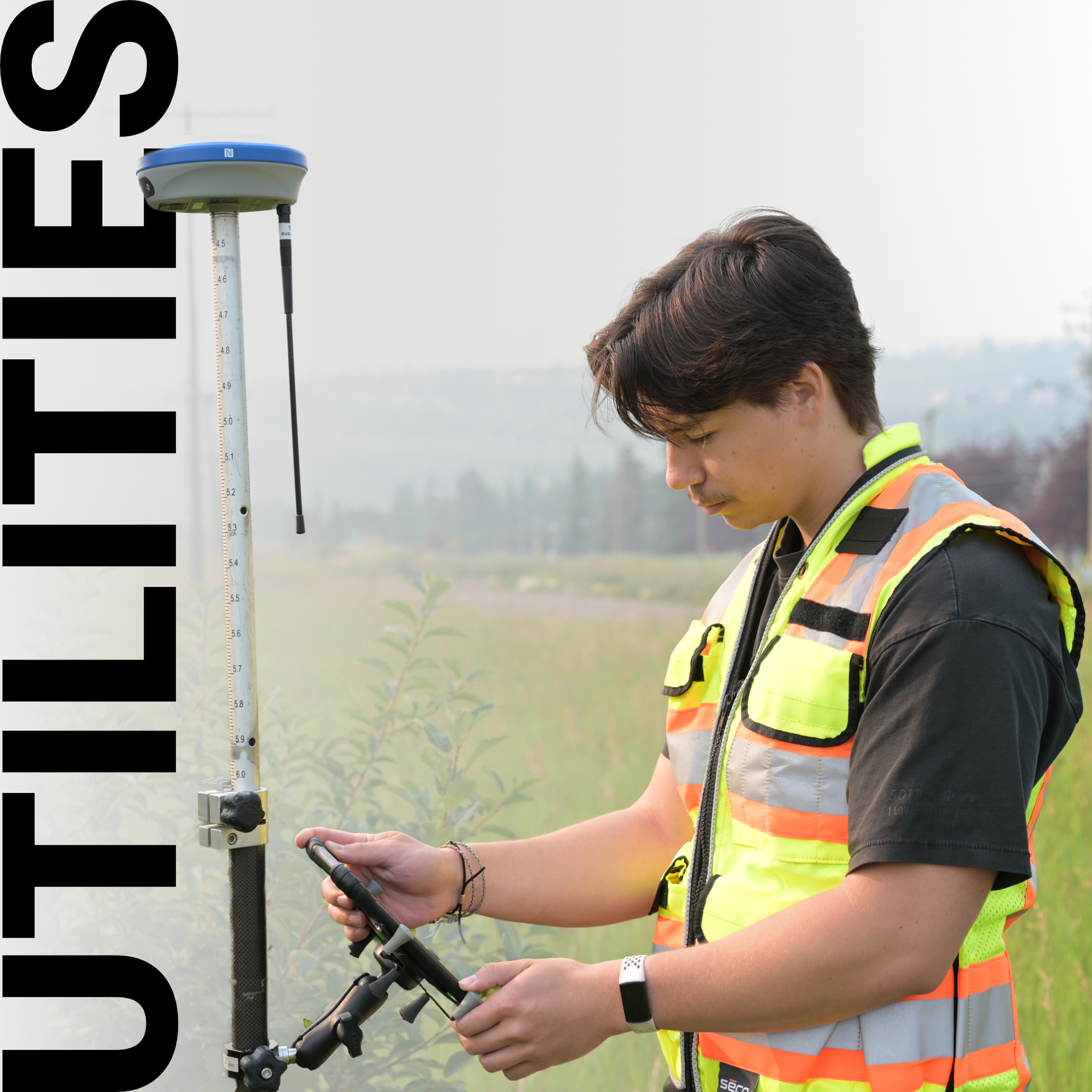
Every year in Canada, underground utility strikes cause millions of dollars in damage, project shutdowns, and in the worst cases, fatalities. What makes this statistic particularly striking is that most of these incidents are preventable. The ground beneath a typical urban or suburban project site is threaded with decades of layered infrastructure: gas mains, fibre optic cables, water lines, storm sewers, and electrical conduits, many of which were installed before consistent record-keeping was standard practice.
Surveyors working on utility installation projects don’t just need to find where a new line will go; they need to understand everything already in the way before a single blade touches the ground.
Why Utility Surveying Demands a Different Mindset
The Core Methods Used in Underground Utility Surveys
Positioning Your Survey Data with RTK GNSS
Field Workflow: From Locate to Record
Accuracy Standards and What They Mean in Practice
The Ground Beneath Every Project
Most survey work is about establishing position. Utility surveying adds a critical layer: it’s about establishing position in relation to what you can’t see. That distinction changes how you plan, how you set up, and how much margin for error you can tolerate.
In Canada, the regulatory environment reinforces this. Provincial and territorial “Call Before You Dig” requirements, including Ontario One Call and BC One Call, make pre-excavation utility locating a legal obligation, not a best practice. But compliance alone doesn’t protect a project. Utility records, where they exist, are often incomplete, inconsistent, or based on as-built drawings that don’t reflect field-level reality. The registered location of a buried line and its actual location in the ground can diverge by a significant margin, especially in older urban corridors.
This is where precise field surveying becomes the difference between a project that runs on schedule and one that stalls in regulatory limbo after an unexpected strike.
Effective utility surveying isn’t a single technique, it’s a layered approach that combines multiple data sources to build the most complete subsurface picture possible. The process typically starts with a desk study: pulling utility maps, municipal records, as-builts, and any available historical documentation to establish a preliminary understanding of what’s likely in the ground. From there, field investigation confirms, corrects, and fills in what the records miss.
The primary detection methods in active use include:
No single method covers every situation. Field conditions, soil composition, utility material, and signal interference all influence which approach delivers reliable results.
Once utilities are located, getting their position accurately into your survey data is where RTK GNSS becomes essential. For utility installation work, whether you’re staking the route for a new line, documenting existing infrastructure post-excavation, or providing as-built coordinates after installation, the precision of your GNSS receiver determines the quality of every deliverable that follows.
At Bench-Mark, we work with utility contractors and survey crews across Canada who require the full combination of accurate positioning equipment and software that integrates cleanly with their existing workflows. The Hemisphere S631, our primary RTK system, is consistently one of the most reliable tools for utility-grade survey work in mixed environments: it maintains fix quality under the kind of partial canopy and urban obstruction conditions common to utility corridors in Canadian municipalities.
For crews looking to manage costs without stepping down in accuracy, the GeoMeasure Nano 7 offers an entry point into the same RTK workflow at a more accessible price, a practical option for contractors scaling their fleet or building out a utility-focused survey capability for the first time.
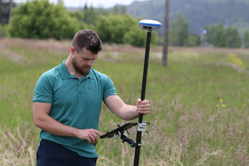
The field workflow on a utility installation project follows a sequence that, when handled correctly, protects both the project schedule and the accuracy of the final deliverable.
A well-structured utility survey workflow looks like this:
The quality of this workflow depends heavily on the tools used at the positioning stage. Inaccurate RTK data propagates through every downstream deliverable, if the located utility is off by 0.3 metres in your coordinate capture, that error follows the line through design, into the field, and eventually into the as-built record that future crews will depend on.
Canadian utility survey practice is increasingly moving toward formal accuracy designations, aligned with standards developed by organizations like the Canadian Common Ground Alliance (CCGA) and informed by ASCE 38 quality levels used in the United States. These quality levels range from D (record data only) through A (direct physical observation and precise measurement). For most utility installation work where design conflicts are a real concern, Quality Level B or A is the appropriate target.
Bench-Mark supports survey crews in meeting these standards by pairing reliable RTK hardware with FieldGenius data collection software, which allows field-captured utility positions to be logged with the metadata, time, solution type, estimated accuracy, needed to demonstrate quality level compliance to clients and regulators.
Utility installation surveying sits at the intersection of public safety, project economics, and professional liability. A miss at the field level can shut down a neighbourhood block’s water supply, trigger a gas response, or put workers in direct danger. The accuracy of your positioning system, the thoroughness of your detection workflow, and the quality of your final record are not technical niceties. They are what separates a project that closes cleanly from one that generates incident reports.
Getting the subsurface picture right before you break ground is the single most important investment any utility installation project can make, and it starts with having the right tools and workflow in place from day one.
