

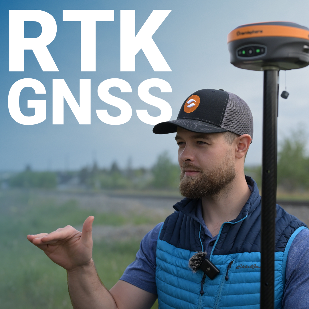
The same GPS signal that tells your phone you’re standing outside a coffee shop is capable, with the right technology, of telling a land surveyor they’re standing precisely 1.3 centimetres east of a property boundary. That gap, from metres to centimetres, is entirely the work of RTK GNSS. It’s a smarter way of reading the same signals.
The Two Parts of Every RTK Setup
What Separates a Quality RTK GPS GNSS Receiver from a Basic One
RTK vs. PPP: Knowing Which You Need
Getting the Most Out of RTK in the Field
The Precision Is in the Physics
GNSS stands for Global Navigation Satellite System, the umbrella term covering GPS (United States), GLONASS (Russia), Galileo (European Union), and BeiDou (China). A standard GNSS receiver listens to signals from these constellations and uses signal travel time to calculate position. The problem is that signals pass through the ionosphere and troposphere, bounce off surfaces, and contend with satellite clock drift. The result is positional accuracy measured in several metres, acceptable for general navigation, nowhere near enough for survey-grade work.
RTK, or Real-Time Kinematic, takes a fundamentally different approach. Instead of relying solely on signal timing, it measures the carrier wave phase of GNSS signals, a far more precise measurement. By comparing phase data between a fixed reference point with a known position and a mobile receiver in the field, an RTK GNSS system can resolve position to the centimetre level in real time.
The key word is real-time. Corrections from the reference point reach your rover in the field almost instantaneously. You’re getting centimetre accuracy on the rod, on the machine, on the mark.
Every RTK GNSS system, regardless of brand or price point, depends on two things working together:
A base station is a fixed receiver placed over a known point. It continuously observes satellite signals, computes the errors it sees (atmospheric delay, clock offsets, orbit drift), and broadcasts corrections to the rover. The closer your rover operates to the base, the tighter the correlation between errors, and the better your results. Most professionals aim to keep baselines under 30 km for optimal performance, though well-designed systems maintain strong accuracy well within that range.
In Canada, many workflows use a permanently operating reference network rather than setting up a dedicated base on every job. Provincial and national CORS (Continuously Operating Reference Station) networks broadcast RTK corrections over cellular or internet connections using the NTRIP protocol, letting rovers connect and start working without any base setup at all.
The rover is your mobile unit, the GNSS RTK receiver you carry in the field, mount on a machine, or attach to a drone. It receives satellite signals directly and pulls correction data from your base or network. When the math resolves, meaning the receiver has confirmed the exact number of carrier wave cycles between satellite and antenna, you have what’s called an “integer ambiguity fix,” or simply, a fixed solution. That’s your centimetre-level accuracy.
Until fix is achieved, the system is in “float” mode, still useful, but accuracy sits in the decimetre range. Experienced crews know to watch their solution status before staking anything critical.
Not all RTK receivers perform equally in Canadian field conditions. Dense boreal canopy, open prairie skies, steep mountain cuts, and northern magnetic environments all stress systems differently. Here’s what actually separates professional-grade equipment from budget alternatives:
Equipment designed specifically for survey use handles edge cases, canopy, multipath, weak satellite geometry, far better than consumer-grade or even agricultural-grade GNSS hardware that’s been repositioned for the survey market.
RTK is sometimes compared to PPP (Precise Point Positioning), and both deliver high accuracy. The distinction matters in practice.
RTK requires either a local base station or access to a correction network, but delivers centimetre accuracy quickly, typically within seconds to a couple of minutes of achieving fix. It’s designed for real-time fieldwork where you need to act on your coordinates immediately.
PPP works without a local reference station by using global precise orbit and clock corrections. It’s useful in extremely remote locations where no network coverage exists, but convergence time is a significant drawback. Depending on the service and conditions, it can take anywhere from 20 minutes to over an hour to reach full accuracy, during which time a surveying crew is standing still. For most Canadian survey, construction, and engineering workflows, RTK remains the practical standard.
Even the best RTK GPS GNSS receiver setup underperforms if the fundamentals aren’t right. A few field practices that consistently separate clean data from problematic data:
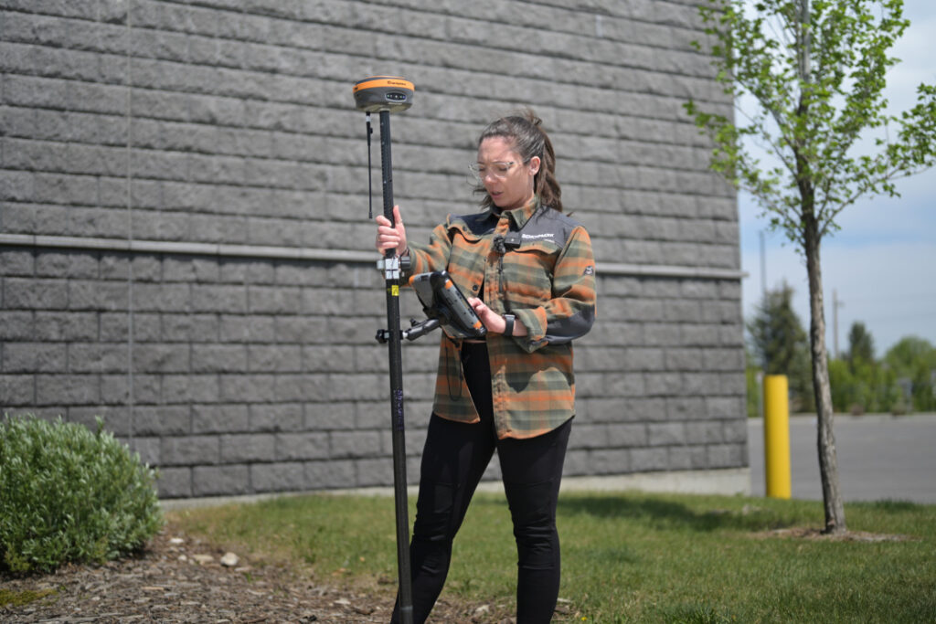
RTK GNSS is physics applied carefully. Carrier phase measurement, error correction, and real-time processing combine to turn satellite signals into centimetre coordinates that hold up in court, on construction drawings, and in engineering submissions. For Canadian professionals working in survey, land development, or infrastructure, RTK GNSS is the foundation of how accurate spatial data gets collected.
At Bench-Mark, we’ve supported surveyors and engineers across Canada with RTK systems built for professional field use, from equipment selection to setup guidance to ongoing technical support. If you’re evaluating your current RTK setup or looking to upgrade, our team is here to help you get the accuracy your work demands.
