

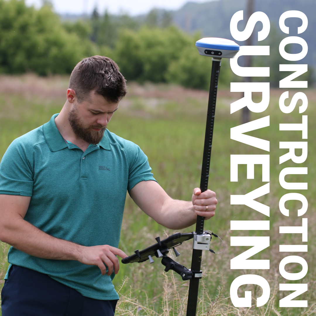
Before a single stake goes in the ground or a machine moves a cubic metre of earth, someone has already mapped every slope, boundary, and hidden utility on that property. That invisible first act, the construction site survey, is what separates a project that finishes on time and on budget from one that unravels at the foundation. In Canada, where projects span everything from boreal terrain to urban infill, that upfront precision isn’t optional.
What Is a Construction Site Survey?
Why It Matters More Than Most Builders Realize
Common Methods Used in Construction Site Surveying
The Equipment Driving Modern Site Surveying
Where Site Survey Fits Into the Construction Timeline
The Regulatory Reality in Canada
Accuracy Is the Foundation Every Project Builds On
A construction site survey is a systematic process of collecting, measuring, and analyzing spatial data about a parcel of land before and during construction. Surveyors establish precise reference points, control networks, that every contractor, engineer, and machine operator works from. These aren’t rough estimates. They are centimeter-accurate coordinates that define where every structure, road, utility trench, and grade change belongs.
The deliverables range from topographic maps and digital terrain models to boundary overlays and staking plans. Modern construction site surveying integrates GNSS RTK technology, total stations, and data collectors running field software like FieldGenius to capture and process this data in real time, directly on site.
In simple terms, a construction site survey establishes the accurate spatial information that construction teams need to plan, position, build, and verify work on a site.
Construction projects fail at the margins. A boundary misread by half a metre can trigger a legal dispute with an adjacent landowner. A grade error of a few centimetres across a large commercial pad creates drainage failures that cost tens of thousands to remediate. A misplaced utility corridor delays a project by weeks while redesigns get approved.
A proper construction site survey eliminates these variables before they become problems. It answers the critical questions upfront:
Surveyors working with accurate RTK GNSS equipment and field-verified control networks give project teams the confidence to build exactly to design intent.
In Canada, this matters at every scale:
Road and highway projects from British Columbia to Nova Scotia depend on continuous topographic data to balance cut and fill volumes efficiently.
Residential subdivisions in the Edmonton or Calgary fringe need precise lot grading to satisfy municipal drainage bylaws.
Large commercial pads in the GTA require tight coordination between survey control and structural layout.
The right survey method depends on the project size, site conditions, and stage of construction. Most large projects combine several methods across different phases:
| Survey Method | Typical Use Case | Equipment Used | Accuracy Level |
| GNSS RTK | Control, topographic data collection, and staking on open sites | GNSS RTK receiver, base station or network, data collector | Centimeter-level |
| Total Station | Layout and measurement where GNSS is limited | Total station, data collector | Precise |
| Topographic | Existing ground surface, drainage design, and earthwork calculations | GNSS RTK, total station, data collector | Centimeter-level |
| Control Network | Establishing reference points for consistent project measurements | GNSS RTK, total station, control monuments | High accuracy |
| As-Built | Verifying completed structures, utilities, and grades against design | GNSS RTK, total station, data collector | High accuracy |
The tools surveyors carry today bear little resemblance to the transits and chains of previous generations. Modern construction site surveying equipment is built around speed, connectivity, and centimeter accuracy in real-world field conditions. Key equipment on a modern Canadian construction site survey includes:
What separates good survey equipment from the rest isn’t spec-sheet numbers, it’s reliability over a full Canadian field season. Equipment needs to perform at -30°C on a prairie highway project the same way it does on a muddy Vancouver Island land development in November. That’s the standard professional construction surveyors work to.
Knowing what a construction site survey is also means understanding how the work progresses from initial site information to final verification. While the exact workflow varies by project, the main steps are:
Site surveying runs through the entire project lifecycle:
Each phase depends on the accuracy of the one before it. A weak topographic survey at the start leads to earthwork overruns at the middle. Skipped layout checks during construction create as-built discrepancies at the end that can hold up project closeout for months.
The cost of a construction site survey in Canada depends on the scope and requirements of the project rather than a single standard rate. Key factors include:
For an accurate estimate, the survey scope should therefore be defined around the site, the construction phases involved, and any applicable Canadian regulatory requirements.
Canadian construction projects operate under a layered set of municipal, provincial, and federal requirements that all touch on survey data in some form. Lot grading certificates, subdivision plans, right-of-way documentation, and utility corridor registrations all require survey sign-off from a licensed professional. Provinces regulate the practice of land surveying independently, and most construction survey work must be conducted or supervised by a Canada Lands Surveyor or a provincially licensed surveyor depending on jurisdiction.
This regulatory environment makes survey accuracy a legal matter, not just a technical one. Errors don’t just cost money to fix, they can invalidate approvals, trigger boundary disputes, and delay title transfers on residential lots. Getting it right from the start is the only practical approach.
Surveying in construction is the process of collecting and applying accurate spatial data to establish boundaries, control points, elevations, and locations for construction work. It helps contractors and other project teams build structures, roads, utilities, and grades according to the design.
There is no single cost for a construction site survey. In Canada, the price depends on factors such as site size, terrain, the number of construction phases requiring survey work, and whether licensed surveyor sign-off is required.
Provinces regulate the practice of land surveying independently. Depending on the jurisdiction and type of work, construction survey work may need to be conducted or supervised by a Canada Lands Surveyor or a provincially licensed surveyor.
The article does not specify a standard duration for a construction site survey. The amount of survey work depends on the project scope, including the site conditions, required data collection, construction phases, staking and layout, grade checks, and as-built verification.
Modern construction site surveys can use GNSS RTK receivers, robotic total stations, data collectors, field software, and GNSS base stations. The appropriate equipment depends on the site conditions and the type of survey work being performed.
A construction site survey doesn’t make headlines. It doesn’t appear in project renderings or ribbon-cutting photos. But it is the reason every other part of a project can work. The road meets the intersection at the right grade. The building sits exactly where the site plan shows. The stormwater flows where the engineer designed it to go. All of that traces back to a surveyor on site, with the right equipment, collecting the right data before anything else began. At Bench-Mark, we supply the GNSS RTK systems and field software that Canadian surveyors rely on to get that foundation right, across every kind of terrain, in every kind of weather, from coast to coast.
