

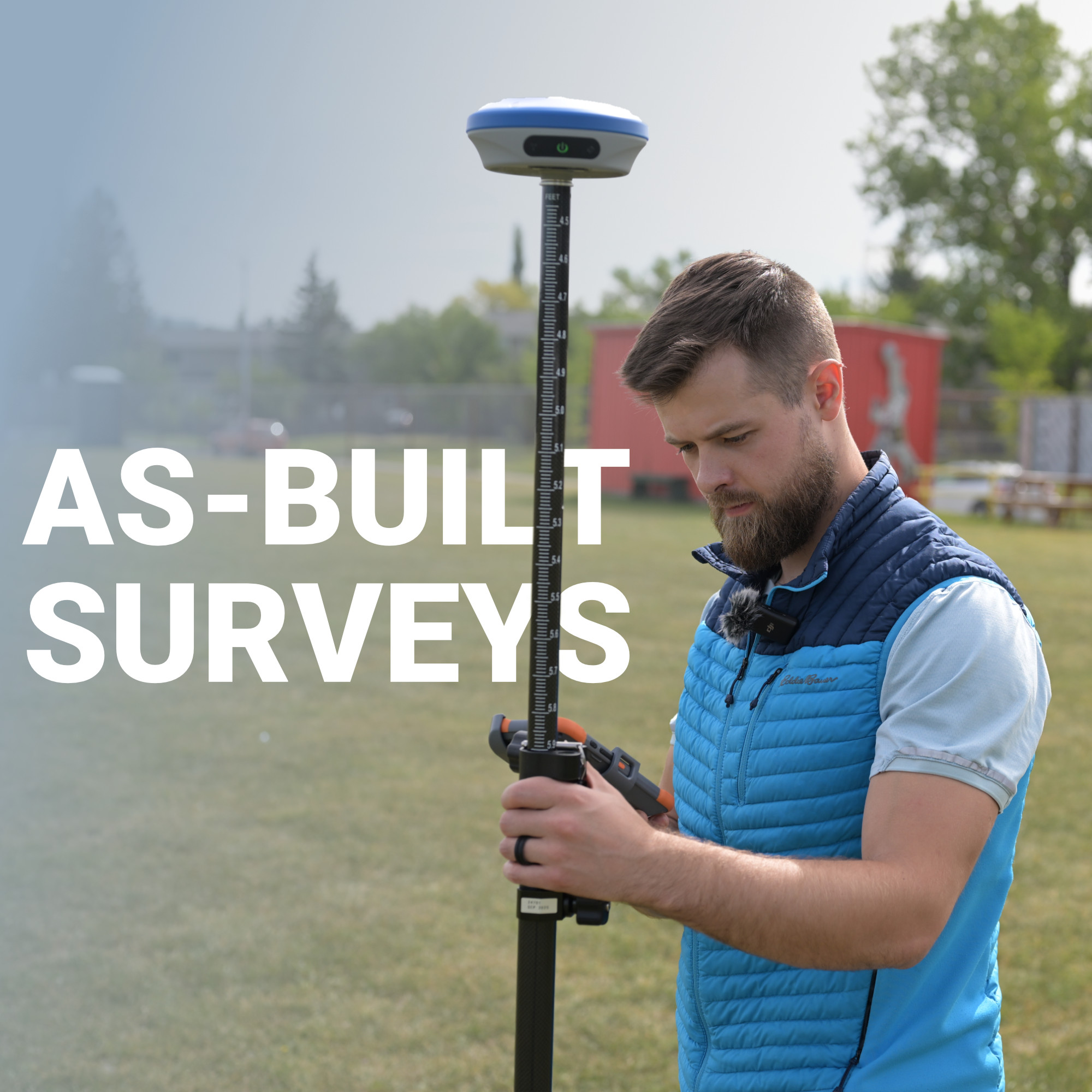
A stamped set of construction drawings tells you what a project was supposed to become. It rarely tells you what actually happened once crews were in the ground. Utility lines get shifted around an unexpected rock outcrop, a foundation gets nudged to clear a property line, a mechanical run gets rerouted to dodge a structural beam that showed up late in the design. None of that gets caught by the original plan set, and all of it matters the moment someone needs to renovate, maintain, or sell that property.
An as-built survey exists to close that gap between what was drawn and what was actually constructed, giving owners, engineers, and municipalities a record they can trust rather than a set of assumptions they have to verify by digging.
For land surveyors and civil engineers working across Canada, as-built work has become one of the more consistent revenue streams on any given project, precisely because deviations from plan are the rule rather than the exception. Getting it right depends less on effort and more on knowing exactly what to measure, which method fits the site, and how to confirm the results before they go out the door.
Key Takeaways
What an As-Built Survey Actually Captures
Choosing the Right Measurement Method
Verifying the Results Before They Go Out
Common Pitfalls That Undermine Accuracy
The Real Value Shows Up Later, Not on Delivery Day
An as-built survey documents the physical, verified location of everything that was constructed, compared against the design. That includes horizontal and vertical positioning, materials used where they differ from spec, and any field changes that never made it back onto the drawings. It is not a redraw of the original plan with a new date stamp. It is an independent record built from field observations.
Most as-built surveys focus on a similar core set of features, though the exact scope depends on the project type:
On larger civil or subdivision projects, this list expands to include road geometry, stormwater management facilities, and utility easements that municipalities will want verified before accepting the infrastructure.
The method you choose shapes both the accuracy and the turnaround time of the final deliverable, and it needs to match the site rather than default to habit.
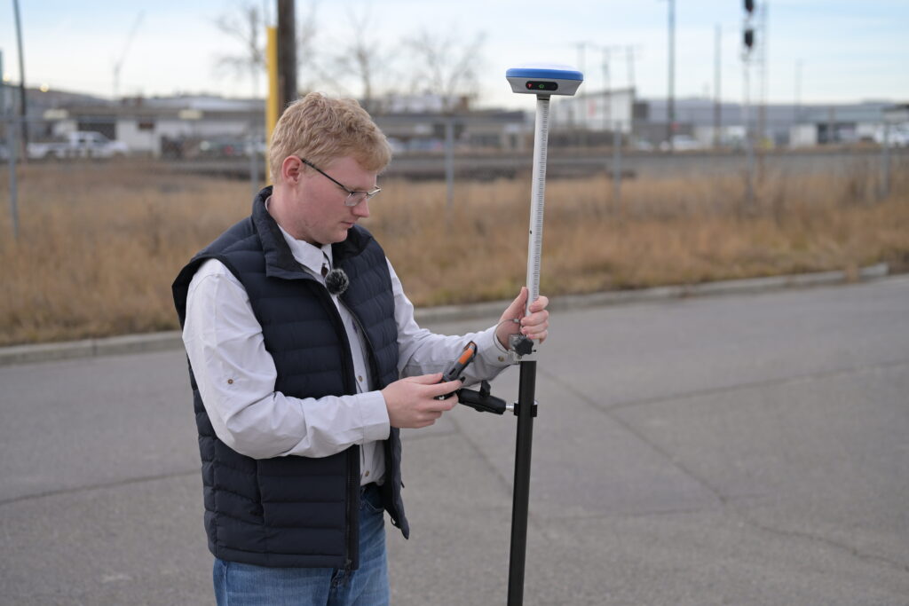
RTK GNSS remains the workhorse for open sites with reasonable sky visibility, since it gets a surveyor centimeter-level horizontal and vertical positions in real time, without the post-processing delay of static methods. It handles utility staking, grading verification, and building corner ties efficiently, and it scales well across sites of any size, from a single infill lot to a full subdivision.
For crews weighing which system fits their as-built workload, Bench-Mark’s page on land survey and RTK equipment breaks down the receivers and total stations best suited to different field conditions.
Total stations still earn their place where GNSS struggles, particularly under dense canopy, inside structures, or in urban canyons where satellite visibility drops off. Many crews run a hybrid workflow, using RTK for open areas and switching to a total station for tight or obstructed zones on the same site.
For larger or more complex projects, laser scanning and photogrammetry add a layer that point-by-point measurement cannot match on its own: a dense, navigable dataset of the entire structure or site. This matters most on renovations, industrial facilities, or any project where the client needs to revisit the data later without sending a crew back out.
An as-built survey is only as useful as its accuracy, and verification is where a lot of otherwise solid fieldwork falls apart. A few checks should happen before any deliverable leaves the office:
Municipalities across Canada increasingly expect as-built submissions tied to specific coordinate systems and datums, and getting that wrong is one of the more common reasons a package gets sent back for revision. Confirming the required datum, projection, and vertical reference before fieldwork begins avoids a rework cycle that costs more time than the original survey.
A handful of issues show up repeatedly on as-built projects, and most are avoidable with a bit of planning:
Bench-Mark works with surveyors across Canada who run into these exact issues on a weekly basis, and the pattern is almost always the same: the fieldwork itself was competent, but the verification step got compressed under deadline pressure.
An as-built survey rarely gets appreciated the day it is submitted. Its value shows up eighteen months later, when a contractor needs to know exactly where a buried line sits before excavating, or when an owner is trying to close a sale and needs documentation that matches reality rather than intent.
Treating the measurement and verification steps with the same rigor as the original design survey is what separates a record people can actually rely on from one that just gets filed away. Bench-Mark continues to see that the projects with the fewest callbacks are the ones where accuracy was checked twice before anyone signed off on it once.
