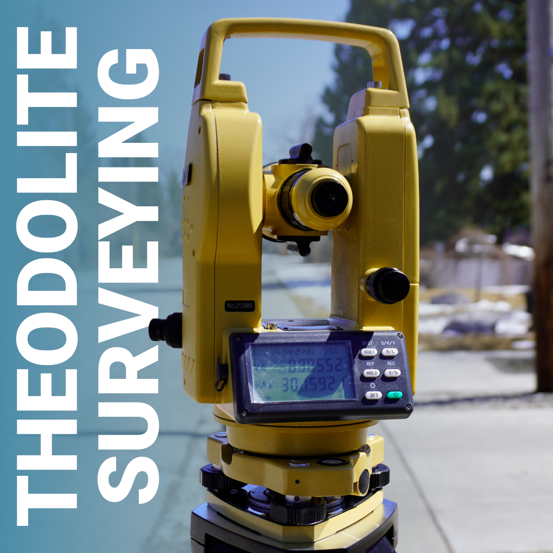
Theodolite Surveying Explained: When and Why It’s Still Used
Before GPS existed, before total stations had onboard computers, and before RTK receivers could locate a point to the centimetre in seconds, the theodolite was


Before GPS existed, before total stations had onboard computers, and before RTK receivers could locate a point to the centimetre in seconds, the theodolite was
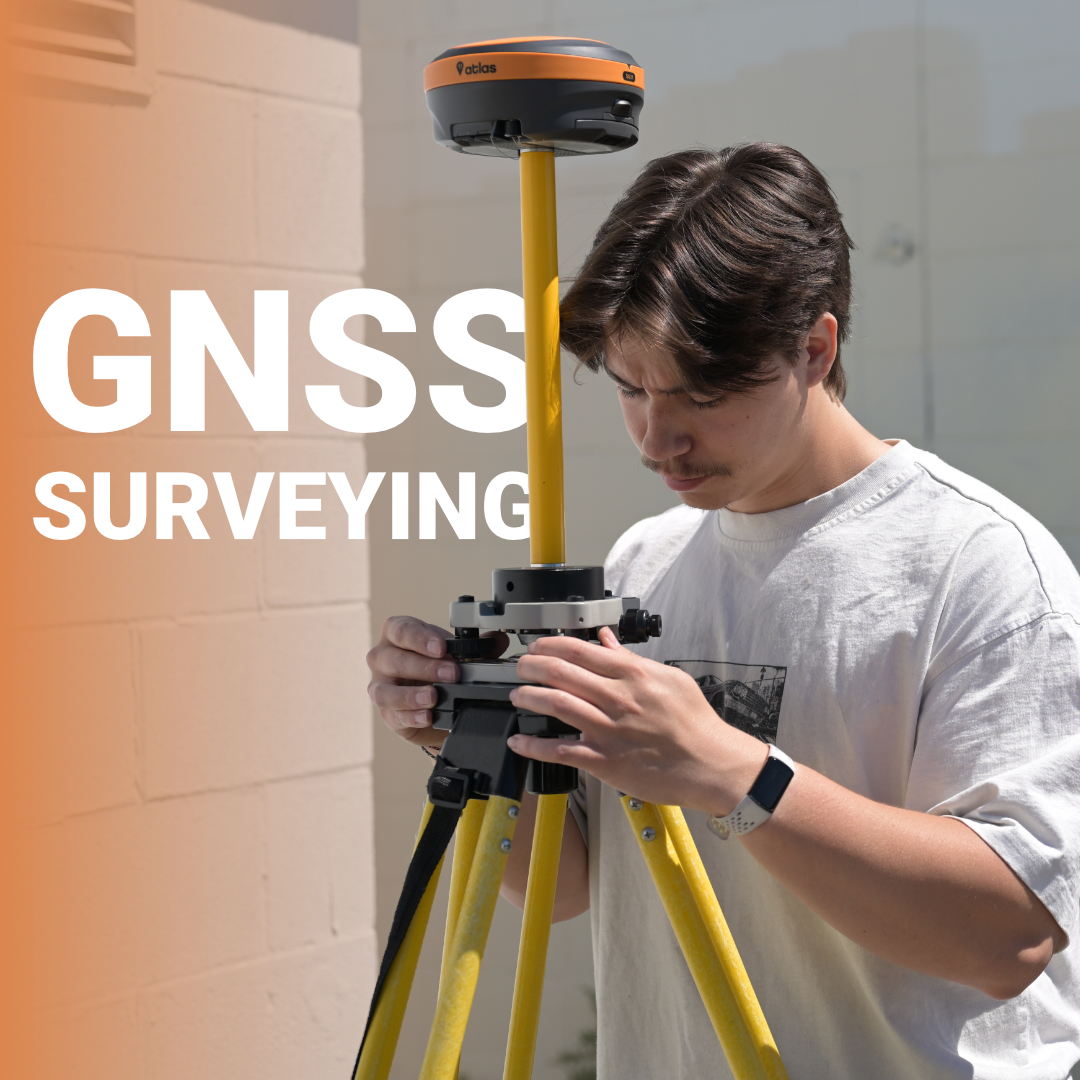
Every time a Canadian land surveyor drives a stake into frozen ground or a civil engineer signs off on a subdivision boundary, there’s an invisible
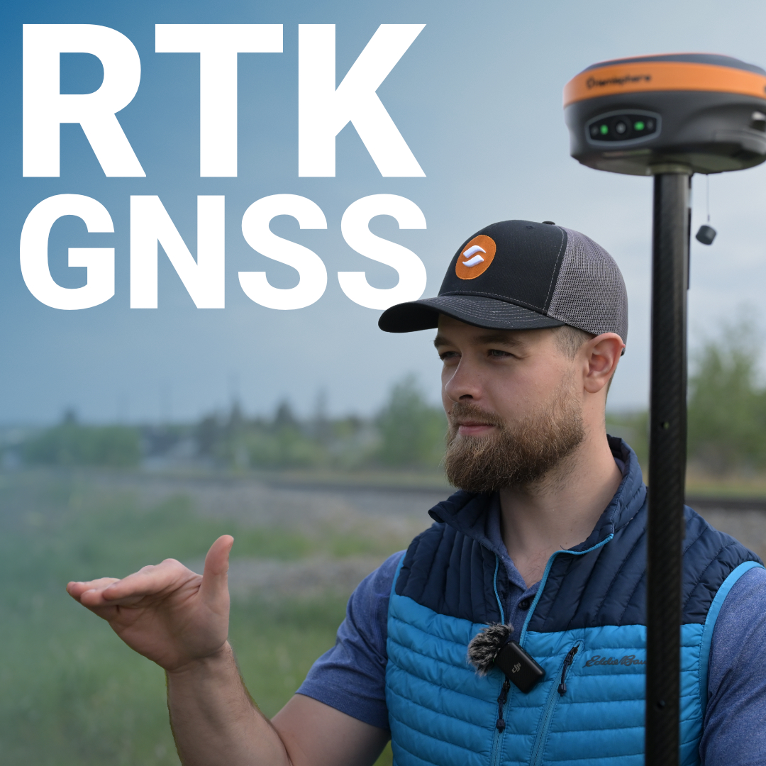
The same GPS signal that tells your phone you’re standing outside a coffee shop is capable, with the right technology, of telling a land surveyor
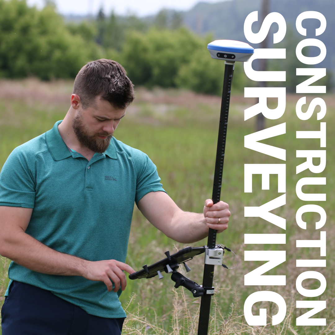
Before a single stake goes in the ground or a machine moves a cubic metre of earth, someone has already mapped every slope, boundary, and
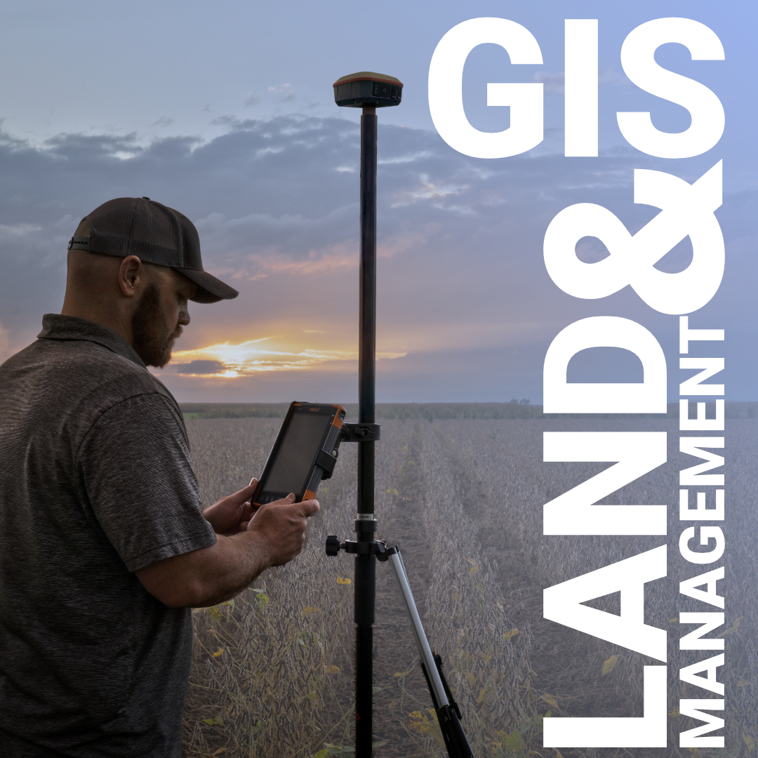
Before a single stake goes in the ground on a Canadian land development project, dozens of decisions have already been made, about zoning, servicing, environmental
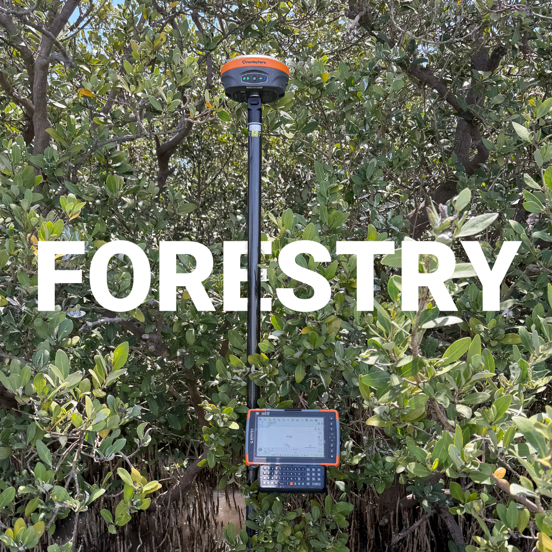
Canada manages more than 347 million hectares of forest land, the third largest forest area in the world. Yet the precision required to manage it
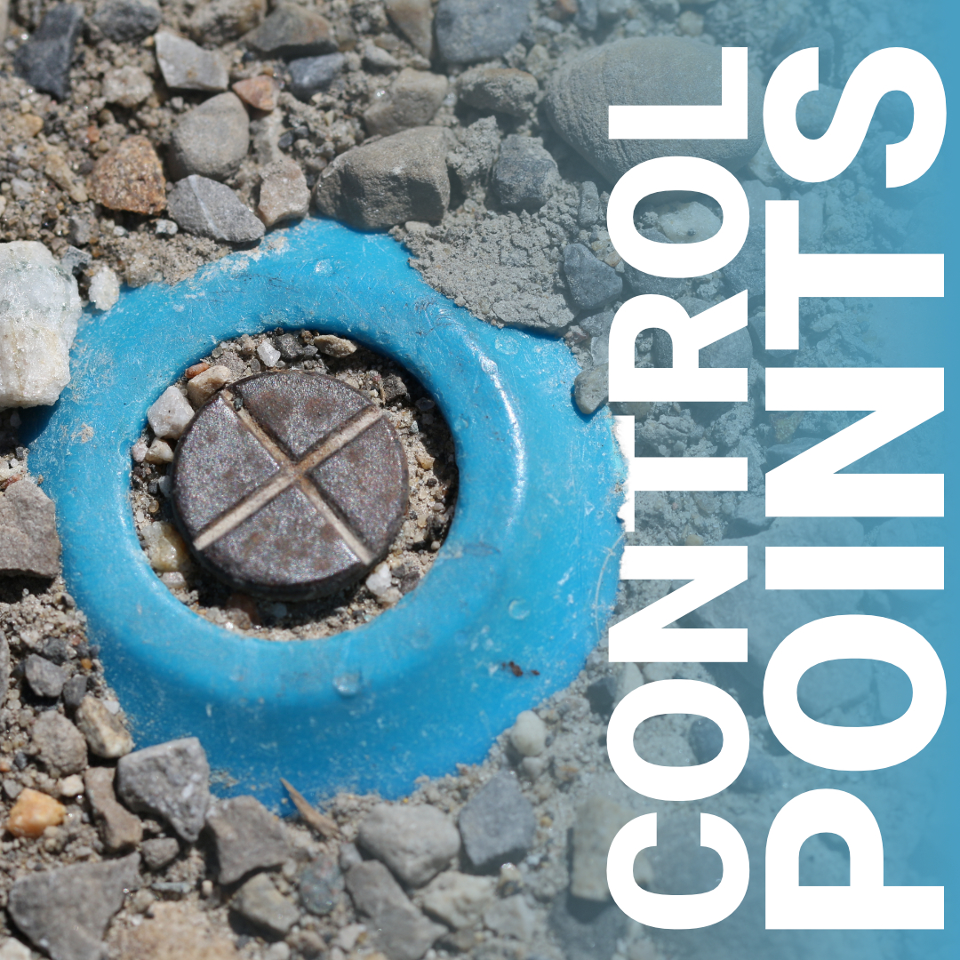
A subdivision gets built on the wrong lot. A highway alignment drifts two metres off centerline. A boundary dispute ends up in court. These are
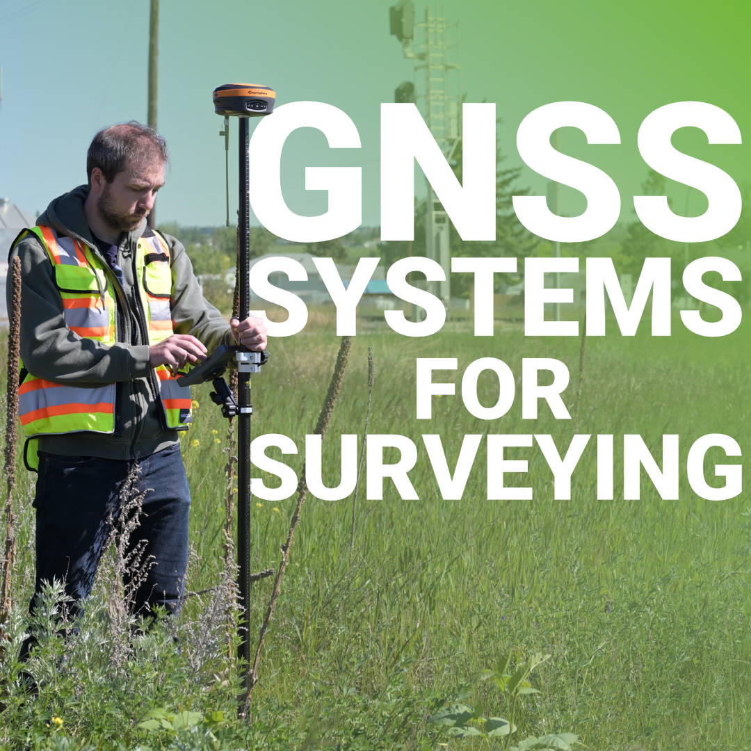
Every coordinate you collect starts with a satellite signal traveling 20,000 kilometers through the atmosphere to reach your receiver. That signal gets delayed by water

A surveyor used to spend two days setting ground control across a 50-acre subdivision. Now that same site gets mapped in 45 minutes from the