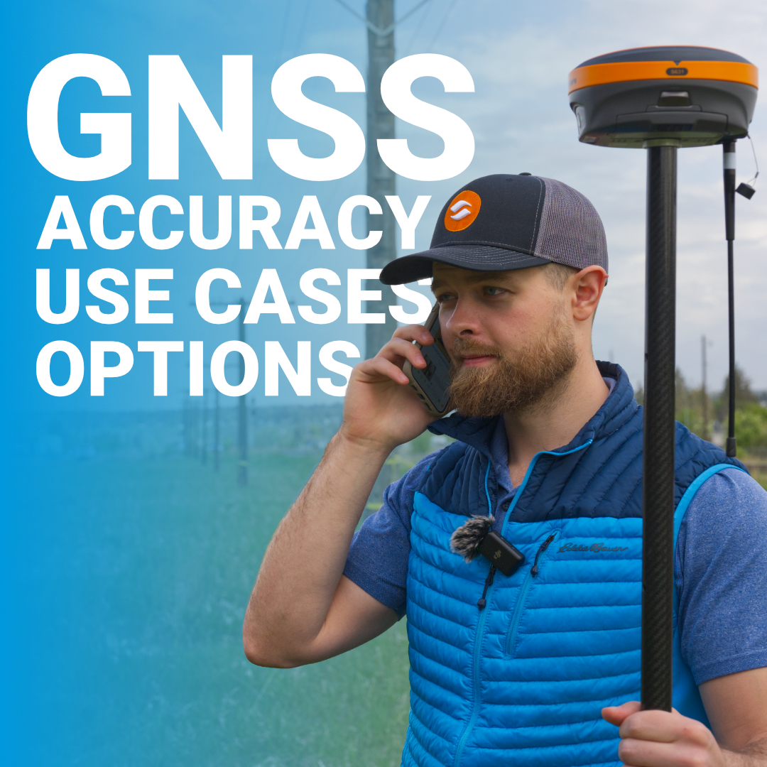
With GNSS, what used to require long setups, multiple instruments, and repeated site visits can now be accomplished faster, with fewer people, and with consistently higher accuracy. If you’ve ever asked how GNSS surveying works, the simplest answer is this: it’s the use of satellite-based positioning systems to determine precise coordinates on the ground. The longer answer and the more important one is how accuracy is achieved, where GNSS fits best, and what equipment actually matters in real-world conditions.
What Is GNSS Surveying?
The Three GNSS Surveying Methods
Understanding GNSS Accuracy: What You Can Expect
Common Applications for GNSS Surveying in Canada
Essential GNSS Equipment for Surveyors
Why RTK Dominates Professional GNSS Surveying
Making GNSS Work for Your Survey Practice
GNSS surveying uses signals from multiple satellite constellations to determine precise positions on Earth. Unlike traditional surveying methods that rely on line-of-sight measurements between points, GNSS receivers calculate coordinates by measuring the time it takes for satellite signals to reach the antenna. With signals from GPS (United States), GLONASS (Russia), Galileo (Europe), and BeiDou (China), modern GNSS systems track dozens of satellites simultaneously for reliable positioning in virtually any location.
The term “GNSS” stands for Global Navigation Satellite System, which encompasses all satellite positioning systems. Many people still say “GPS survey” when they mean GNSS surveying, but true GNSS capability tracks multiple constellations at once. That distinction matters because more satellites mean better accuracy, especially in challenging environments like urban canyons or partially obstructed sites common across Canadian landscapes.
The method you choose depends on your precision requirements and workflow.
DGPS uses a reference station with known coordinates. The reference station calculates positioning errors and broadcasts corrections to your rover receiver. Thus, DGPS eliminates most atmospheric disturbances and satellite orbit errors. You can achieve sub-meter to decimeter-level accuracy, typically 20-50cm. It’s better than SPP, but DGPS still misses survey-grade requirements for most professional applications.
RTK uses a base station that receives satellite signals and transmits real-time correction data to one or more rover receivers. The corrections account for ionospheric delays, tropospheric interference, and satellite orbit errors. RTK delivers centimeter-level accuracy in real-time, typically achieving horizontal precision of 1-2cm and vertical precision of 2-3cm. For Canadian surveyors working on construction sites, subdivisions, or control surveys, RTK is the standard method.
PPK records raw GNSS data during your survey and processes it afterward using base station or virtual reference station data. The post-processing calculates precise coordinates for each survey point. PPK can match RTK accuracy (centimeter-level) but requires additional processing time back in the office. This method works well when you lose RTK radio connection during field work or when working in remote areas without real-time correction services.
GNSS surveying accuracy isn’t a single number. It depends on your method, equipment, environment, and field procedures. Here’s what each method delivers under good conditions:
Several factors affect these numbers in real-world conditions. Satellite geometry matters because better distribution across the sky improves accuracy. Atmospheric conditions, particularly ionospheric activity, introduce errors that correction systems need to compensate for. Multipath interference from nearby reflective surfaces like buildings or water can degrade positioning. Your antenna quality and receiver capabilities also play significant roles.
In Canadian environments, weather conditions can impact GNSS performance. Heavy snow, extreme cold, and dense tree cover (common in northern regions) all present challenges. However, modern multi-constellation GNSS receivers handle these conditions far better than older GPS-only systems because they track more satellites simultaneously.
RTK is the standard for staking out roads, buildings, and infrastructure. Contractors use GNSS rovers to set grade stakes, locate utilities, and verify earthwork volumes. The real-time positioning lets machine control systems on dozers and graders follow design surfaces automatically.
While traditional total station work remains important for boundary surveys, GNSS speeds up control establishment and traverse work. Surveyors use RTK to set control networks quickly, then switch to total stations for detailed boundary measurements where precision and legal defensibility are critical.
RTK removes the need for line-of-sight between instruments. Capture breaks in grade, drainage features, and site details rapidly while maintaining survey-grade accuracy. For larger sites (several hectares or more), GNSS dramatically reduces field time compared to conventional methods.
Static or PPK observations at permanent monuments track structural movement, ground subsidence, or slope stability over time. Engineers use GNSS for monitoring dams, bridges, and mining operations where millimeter-level change detection matters.
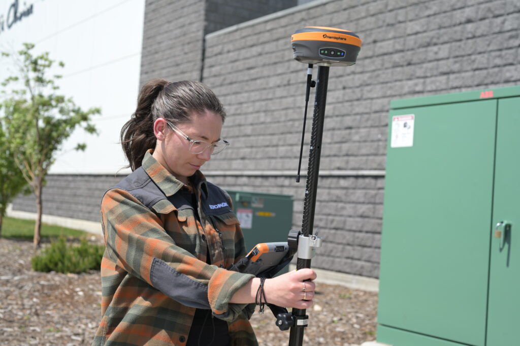
A complete GNSS surveying setup requires several components working together:
Your receiver is the heart of the system. Survey-grade receivers like the Hemisphere S631 track all GNSS constellations across multiple frequencies (L1, L2, L5). Multi-frequency capability is essential for RTK work because it allows the receiver to resolve ambiguities faster and maintain fixed solutions in challenging conditions. Look for receivers with 800+ channels to track maximum satellites simultaneously.
The antenna receives satellite signals and determines positioning quality. Survey-grade antennas minimize phase center variation and reject multipath interference. Your antenna choice affects initialization time, fix stability, and overall accuracy. Match your antenna to your receiver and ensure proper calibration for precise measurements.
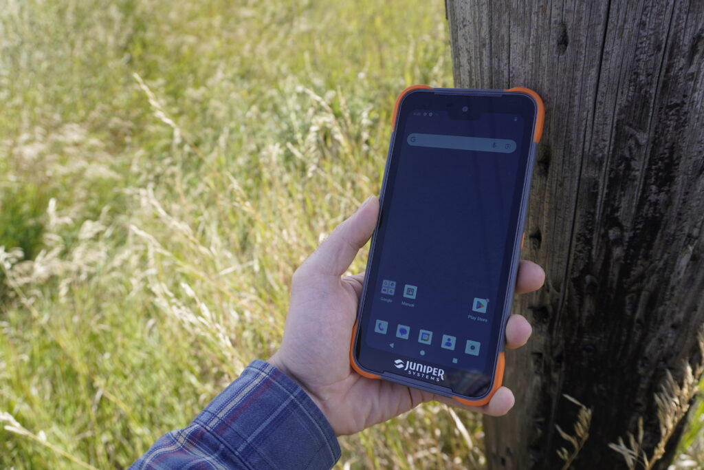
Modern GNSS surveying relies on capable field software. Programs like FieldGenius integrate with your receiver, manage coordinate systems, store survey data, and provide real-time quality indicators. Your data collector (typically a rugged tablet or handheld controller) runs the software and displays your position and survey information.
For RTK work, you either need your own base station or subscription to a correction service. Many Canadian provinces offer RTK networks (like SmartNet) that eliminate the need for physical base stations.
RTK has become the default method for professional surveyors because of three key advantages.
The technology has matured to the point where RTK systems work reliably in conditions that would have caused problems a decade ago.
GNSS surveying is the primary positioning method that allows modern surveyors to work faster, cover more ground, and deliver consistent accuracy across large projects.
A GNSS survey can help use satellite positioning intelligently, understand where it excels, and know when to complement it with other tools.
When configured correctly and used within its strengths, GNSS surveying is one of the most powerful technologies available to surveyors and engineers today. Remember, the right GNSS configuration makes the difference between efficient fieldwork and frustrating delays.
