
What is Multipathing in RTK and How Modern Receivers Handle It
If you’ve ever used RTK (Real-Time Kinematic) GNSS for surveying, mapping, or precision agriculture, you’ve likely heard the term gnss multipath. It’s one of those

If you’ve ever used RTK (Real-Time Kinematic) GNSS for surveying, mapping, or precision agriculture, you’ve likely heard the term gnss multipath. It’s one of those

As an owner or manager of an earthmoving or dirt-moving company, you know that precision, efficiency, and cost control are critical to maintaining profitability. One
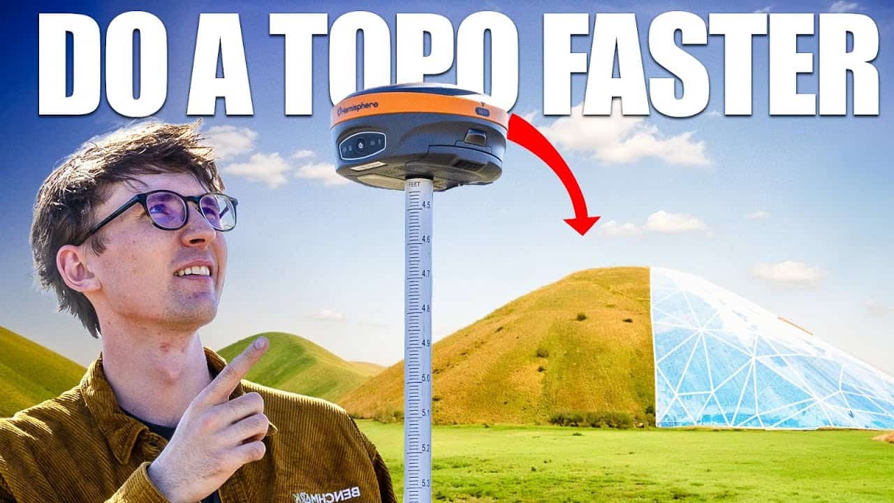
Topographic surveys are essential for mapping elevations, assessing drainage, and planning construction projects. Traditionally, these surveys required tedious manual measurements, but with the widespread adoption
In today’s world, navigation technology plays an essential role in our daily lives. Whether we’re driving to work, finding the fastest route to our favorite
RTK (Real-Time Kinematic) technology has revolutionized the field of land surveying over the past two decades. Jobs that once required extensive manual effort, with lines needing
Real-Time Kinematic (RTK) GPS surveying is a highly accurate positioning method used in a hole variety of different applications, including construction, agriculture, and surveying. However, even

Real-Time Kinematic (RTK) Global Positioning System (GPS) technology is increasingly becoming the cornerstone of modern land surveying. It provides centimeter-level accuracy in real-time by correcting GPS signals.

Surveying has long been a cornerstone of construction, land development, and engineering. For years, traditional tools like manual total stations, levels, and theodolites were the go-to

Land surveying is an essential discipline underpinning construction, land management, and infrastructure development. Surveyors have long relied on total stations to achieve the precision required for accurate

Real-Time Kinematic (RTK) GPS has revolutionized the way surveyors are working. RTK GPS and gps surveying offer surveyors precise, real-time positioning to within a centimeter of