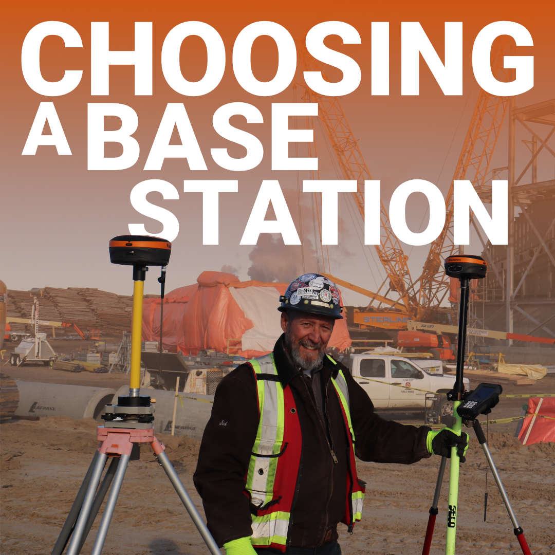
How to Choose the Right RTK Base Station for Canadian Surveying
Canada presents unique challenges that make base station ownership more than a convenience. When you’re working on subdivision layouts in rural Alberta, monitoring projects in

Canada presents unique challenges that make base station ownership more than a convenience. When you’re working on subdivision layouts in rural Alberta, monitoring projects in

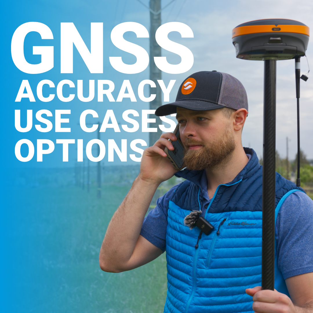
When you set up your rover or base station, you’ll see options to enable different constellations in your receiver settings. GPS alone? GPS + GLONASS?
With GNSS, what used to require long setups, multiple instruments, and repeated site visits can now be accomplished faster, with fewer people, and with consistently

The DJI Matrice 4E has entered the surveying market as DJI’s latest entry-level mapping drone, and it’s forcing surveyors to ask a hard question: can
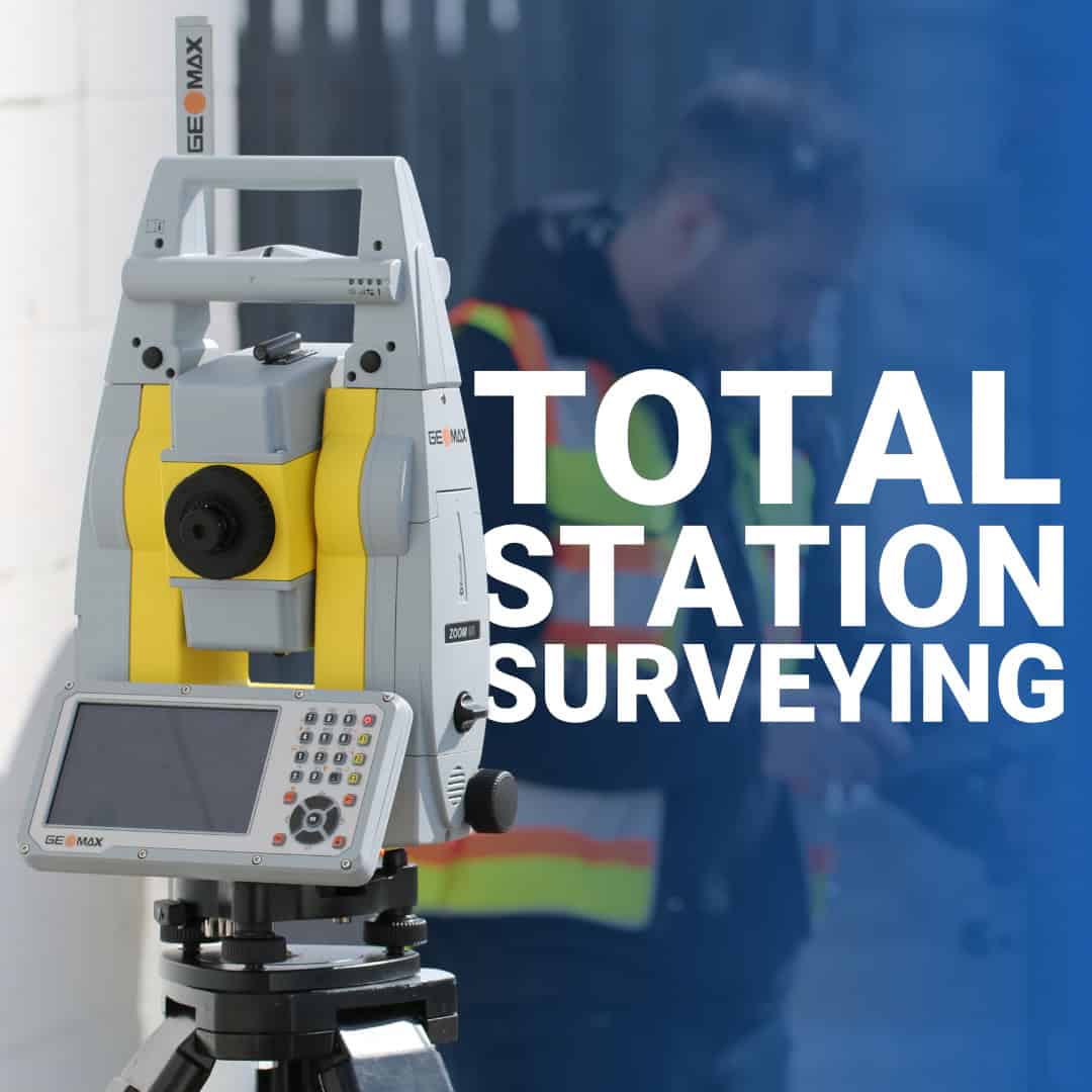
Total stations have been part of professional surveying for decades, but they’re often misunderstood as GNSS and RTK systems are more popular. If you’re asking

Before the first excavator moves dirt or the first concrete truck arrives, surveyors establish the control framework that guides every phase of construction. For land

Even in a world dominated by RTK GNSS, drones, and machine control, the automatic level still earns its place on Canadian job sites. When it

Surveying for road construction is one of those disciplines where small errors turn into very expensive problems. A few centimeters off in alignment, elevation, or

Every surveyor has been stuck in the field with the wrong tool. Maybe you’re under a heavy canopy and your RTK rover won’t hold a
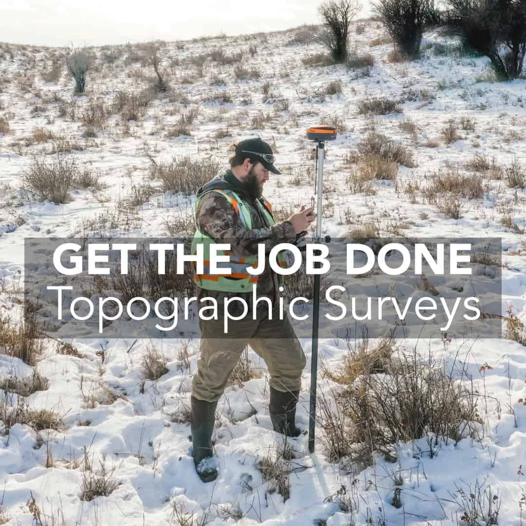
Topographic surveying looks simple on the surface: collect elevations, locate features, build a surface. But anyone who works in Canadian field conditions knows that nothing