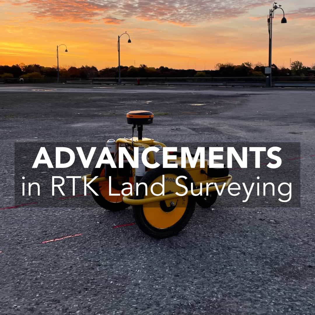
RTK (Real-Time Kinematic) technology has revolutionized the field of land surveying over the past two decades. Jobs that once required extensive manual effort, with lines needing to be cut, complicated traversal processes with total stations, or expensive, complicated and often impractical RTK systems equipment are now able to be finished with high precision RTK equipment. Modern RTK systems allow surveyors to achieve centimeter-level accuracy in real-time, streamlining workflows and reducing costs. In this post, we’ll explore how RTK technology has evolved and its profound impact on the land surveying industry.
Early RTK Systems and Their Limitations
Multi-GNSS Integration and Improved Accuracy
The Growth of RTK Networks and Accessibility
Cloud-Based RTK and IoT Integration
The Future of RTK in Land Surveying
The Impact of RTK on Surveying Efficiency
In the late 1990s and early 2000s, RTK was already a game-changer for surveyors, providing significantly real-time centimeter level accuracy. However, these early systems had several drawbacks. They solely relied on GPS (and sometimes GLONASS) satellites, which meant they were unusable during certain periods of the day where satellite coverage was spotty. On top of this in difficult environments with poor sky visibility, such as urban areas or dense forests, receivers were unable to achieve a Fixed solution.
Another big issue with early RTK systems were the bulky cables and complicated setup procedures. Most units did not have integrated batteries, radios and some required external antennas to run. This mean there were many parts that could cause issues. Despite these limitations (and the exceedingly high cost at the time when compared to other instruments), RTK began to be adopted by many surveyors.
As the 2000s progressed, the widespread adoption of receivers that were dual frequency and dual constellation began to turn RTK into an instrument that a surveyor could use in their everyday practice. With the ability to use GPS and GLONASS, RTK was starting to become usable in areas with light tree and building cover.

One of the biggest technological leaps for RTK has been the ability to leverage multiple Global Navigation Satellite Systems (GNSS). For many years, GPS and GLONASS were the only available constellations, with receivers like the Hemisphere S320 and Topcon Hiper II/GRX2 seeing huge popularity.
However, modern systems integrate data from not only the GLONASS (Russia) and GPS (USA) constellations but also Galileo (Europe), and BeiDou (China). This increased satellite availability has significantly improved accuracy and reduced signal loss in obstructed environments.
For land surveyors, multi-GNSS integration has been a game-changer. It allows for faster fix times, more reliable data collection, and enhanced performance in areas where single-constellation GPS would struggle. This has made RTK technology more adaptable for a wide range of surveying projects, from urban development to remote boundary mapping.
A major factor in RTK’s expansion has been the development of RTK network infrastructure. Traditionally, surveyors have had to set up their own base stations, which can be time consuming and in certain locations impractical. One of the customers I speak to often works in a couple of bad neighbourhoods in California, and is often afraid to leave his base station unattended due to fear of theft. Today, many states offer Continuously Operating Reference Stations (CORS) systems which are free, as well as their being several paid subscription services like TopNet, SmartNet and Cannet. Check out the video below for more information on networks.
These systems use multiple base stations connected via cellular networks to increase coverage areas. This reduces the need for dedicated base stations and minimizing errors caused by baseline distance. This development has made high-precision surveying more affordable and efficient, particularly for small firms and independent surveyors. By only requiring a network rover, the upfront cost is significantly reduced when compared to a base and rover system. For more information on how NTRIP works check out the below video and this article: The Difference Between Point-to-Point and VRS Networks.
The integration of RTK with cloud-based services and the Internet of Things (IoT) has further transformed land surveying. Surveyors can now access RTK corrections via cellular networks rather than traditional radio signals, eliminating range limitations and improving flexibility. Cloud-based RTK services allow for seamless data storage, sharing, and remote access, reducing the need for on-site data processing.
Additionally, RTK-enabled drones have become a valuable tool in land surveying. These drones can capture high-resolution aerial data with centimeter-level accuracy, significantly reducing the time required for large-scale topographic surveys. Automated drone surveys powered by RTK have made it easier to map difficult terrains, monitor land development, and conduct precise volumetric measurements.
The widespread adoption of RTK has led to major efficiency gains in land surveying. Traditional surveying methods required extensive manual measurements and post-processing of data, often leading to longer project timelines. With RTK, surveyors can collect real-time, highly accurate data in the field, reducing the need for multiple site visits and extensive post-survey adjustments.
RTK has also improved surveying accuracy by eliminating common errors associated with manual measurements and standard GPS. This has been particularly beneficial for projects requiring precise boundary mapping, construction layout, and infrastructure development. The ability to conduct high-precision surveys more quickly has allowed firms to take on more projects and reduce overall costs.
To add to this, with the integration of Inertial Motion Unit (IMU) sensors in RTK, surveyors no longer have to level the pole while surveying. While this doesn’t seem like it would make a huge difference, when picking up points you can see up to a 49.7% increase in productivity (we made a video where we tested it out!)
Looking ahead, RTK technology is set to continue evolving, further enhancing its applications in land surveying. The integration of 5G with RTK is expected to provide even faster data transmission and lower latency, improving real-time positioning on networks. Global RTK services are also on the horizon, aiming to provide seamless correction data worldwide, eliminating regional limitations.
The miniaturization of RTK devices will make high-precision surveying tools more portable and cost-effective, allowing smaller firms and independent surveyors to access cutting-edge technology. Augmented reality (AR) applications are also expected to integrate with RTK, providing real-time visualization of survey data in the field, making land measurements more intuitive and interactive.
Artificial intelligence (AI) and machine learning (ML) are beginning to play a role in enhancing RTK technology for land surveying. AI-driven RTK systems can predict and mitigate signal obstructions, allowing for more reliable data collection in challenging environments. Machine learning is also improving error correction models, making RTK systems even more adaptive and precise.
These advancements are particularly useful for automated land surveying applications, such as autonomous drones and robotic survey stations. AI-powered RTK solutions help surveyors optimize workflows, minimize human errors, and improve overall productivity.
RTK GPS technology isn’t limited to traditional land surveying, its precision and efficiency have made it indispensable across a wide range of industries:
The most direct application. RTK allows boundary surveyors to work without line of sight, cover more ground in less time, and deliver precise legal descriptions with confidence, even in forested or obstructed environments.
From road alignments and foundation layouts to grade control and as-built documentation, RTK gives construction crews the ability to verify and stake work in-house, reducing dependency on third-party surveyors and keeping projects on schedule.
Farmers and agronomists use RTK for field mapping, precision planting, automated tractor guidance, and drainage planning. The centimeter-level accuracy RTK provides means less overlap, less waste, and more consistent results across large areas.
Pipeline routing, utility asset mapping, and infrastructure inspection all benefit from RTK’s ability to precisely locate and record features in the field. With RTK, crews can map underground installations at the time of construction and return to exact locations years later.
Volume calculations, stockpile management, and haul road design are all streamlined with RTK. Combined with machine control, RTK helps earthmoving operators cut and fill to exact specifications, reducing material waste and rework.
RTK-enabled drones can capture survey-grade aerial imagery and point clouds without the need for extensive ground control networks, opening up large-scale mapping projects to smaller teams with tighter budgets.
The efficiency gains from RTK GPS technology translate directly into financial savings, across labor, equipment, and project timelines.
RTK GPS technology delivers strong results on its own, but its real power emerges when it’s combined with complementary tools and workflows.
For projects that require both open-area GNSS coverage and precise work in areas with poor sky visibility, like inside structures or under heavy cover, combining RTK with a total station gives crews the flexibility to switch seamlessly between methods. RTK handles the bulk of the fieldwork; the total station fills in where satellite signals can’t reach.
Ground control points collected with RTK anchor drone-captured imagery to real-world coordinates, producing georeferenced orthophotos and terrain models with survey-grade accuracy. RTK drones take this further by embedding positional data directly into each image, reducing or eliminating the need for ground control entirely.
Feeding RTK corrections directly into grade control systems on excavators, graders, and bulldozers allows machines to cut and fill automatically to design tolerances. The result is faster earthwork completion, less over-excavation, and reduced reliance on manual staking.
Field data collected with RTK can be exported directly into GIS software for asset management, infrastructure mapping, and spatial analysis. This is particularly valuable for municipalities and utilities managing large networks of distributed assets.
Applications like FieldGenius tie all of these workflows together, allowing surveyors to manage design files, generate real-time contours, perform stakeout, and export data to CAD or GIS directly from the field controller. The software layer is what turns raw RTK positions into actionable deliverables.
RTK technology has dramatically transformed the field of land surveying, improving accuracy, efficiency, and accessibility. The integration of multi-GNSS, expansion of RTK networks, adoption of cloud-based services, and advances in AI have all contributed to making RTK an essential tool for modern surveyors. As technology continues to evolve, RTK’s impact on land surveying will only grow, enabling surveyors to work faster, more accurately, and more cost-effectively. The future of land surveying is being shaped by these advancements, paving the way for a new era of high-precision mapping and measurement.
RTK (Real-Time Kinematic) GPS technology is a high-precision positioning method used in land surveying. It provides centimeter-level accuracy in real-time, improving efficiency by reducing the need for manual measurements and post-processing.
RTK technology has improved significantly with the integration of multi-GNSS (GPS, GLONASS, Galileo, BeiDou), cloud-based RTK services, IoT connectivity, and AI-driven enhancements. These advancements have made RTK systems more reliable, accessible, and user-friendly.
RTK networks consist of multiple base stations connected via cellular networks, providing correction data to RTK rovers. These networks improve accuracy, eliminate the need for dedicated base stations, and reduce costs for surveyors.
RTK-enabled drones and autonomous systems allow for fast, accurate aerial mapping and land measurement. These tools reduce fieldwork time, enhance efficiency, and improve data collection in challenging environments.
Future advancements in RTK include 5G integration for faster data transmission, global RTK services for worldwide coverage, AI-driven accuracy improvements, and augmented reality applications for real-time visualization of survey data.
Bench Mark Equipment & Supplies is your team to trust with all your surveying equipment. We have been providing high-quality surveying equipment to land surveyors, engineers, construction, airborne and resource professionals since 2002. This helps establish ourselves as the go-to team in Calgary, Canada, and the USA. Plus, we provide a wide selection of equipment, including global navigation satellite systems, RTK GPS equipment, GNSS receivers, and more. We strive to provide the highest level of customer care and service for everyone. To speak to one of our team today, call us at 403-286-0333 or email us at [email protected].
