

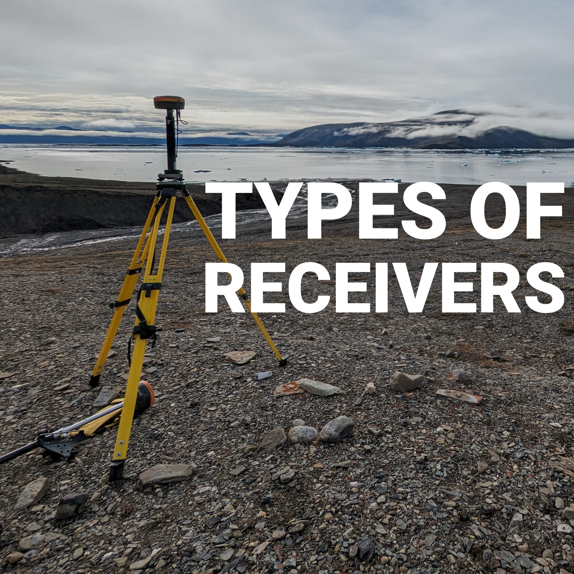
Walk onto any active job site in Canada and the GNSS receiver strapped to a rover pole looks almost identical across brands: a smart antenna, a data collector, and a pole. What differs underneath that similar shell is enormous, and it explains why one crew gets a reliable fix in seconds under partial tree cover while another sits waiting on a float solution. Understanding the actual categories of GNSS receivers, not just the marketing names attached to them, helps a surveyor or engineer choose equipment that matches their site conditions rather than equipment that simply matches their budget.
GNSS Receiver Categories by Design
GNSS Receiver Types at a Glance
GNSS Receivers by Constellation and Frequency Support
Matching Receiver Type to the Work
Base Station vs. Network RTK: A Receiver Decision, Not Just a Workflow One
Durability and Field Conditions
Software and Data Collector Compatibility
Getting the Category Right Before the Model
Survey-grade GNSS receivers generally fall into three physical design categories, each suited to different workflows.
Most surveying and civil engineering work in Canada runs on smart antenna rovers paired with either a local base or a network RTK subscription, since that combination balances field speed with accuracy.
| Receiver Type | Typical Form | Best Suited For | Key Trade-Off |
|---|---|---|---|
| Smart antenna rover | Integrated pole-mounted unit | Everyday RTK surveying, staking, topo. Can be configured as a network rover or base and rover. | Depends on either a base or network RTK for corrections |
| Base and rover pair | Two separate receiver units | Sites with poor cellular coverage | Extra setup time and equipment to transport |
| Modular/panel receiver | Board-level, fixed installation | Permanent monitoring, CORS, structural stations | Not portable, built for one location. Ideal for base station use, but cannot be used as a rover. |
| Single-frequency receiver | Basic mapping-grade unit | Low-precision mapping, GIS data collection | Slower fix, weaker performance near obstructions |
| Multi-frequency receiver | Standard professional rover | Most survey-grade fieldwork | Higher cost than single-frequency units |
Beyond physical form, receivers differ significantly in what they can actually track, and this is where accuracy and reliability really get decided.
Single-frequency receivers track only one signal band, typically L1, and are common in lower-cost mapping-grade equipment. They can produce sub-meter accuracy but struggle to resolve a fixed RTK solution quickly or maintain it under any signal obstruction.
Multi-frequency receivers track two or more bands (L1, L2, and increasingly L5), which allows the receiver to resolve integer ambiguities faster and hold a fixed solution longer in challenging conditions. Nearly every professional survey receiver sold today, including Bench-Mark’s core lineup, is multi-frequency for this reason.
Multi-constellation support adds another layer. A receiver limited to GPS alone sees roughly 30 satellites total. A receiver tracking GPS, GLONASS, Galileo, and BeiDou sees well over 100, which translates directly into faster fixes, better geometry, and more consistent performance under canopy or near structures common across Canadian sites, from bush lines in Ontario to downtown cores in Vancouver and Toronto.
Not every survey job calls for the same receiver configuration, and choosing based on the specific application avoids paying for capability that goes unused, or worse, underspending on a receiver that cannot handle the site.
A crew running the same receiver across all four scenarios will notice performance gaps in at least one of them, usually the wooded or urban cases, where a receiver built for open-field speed starts losing fix time it never had to fight for elsewhere.
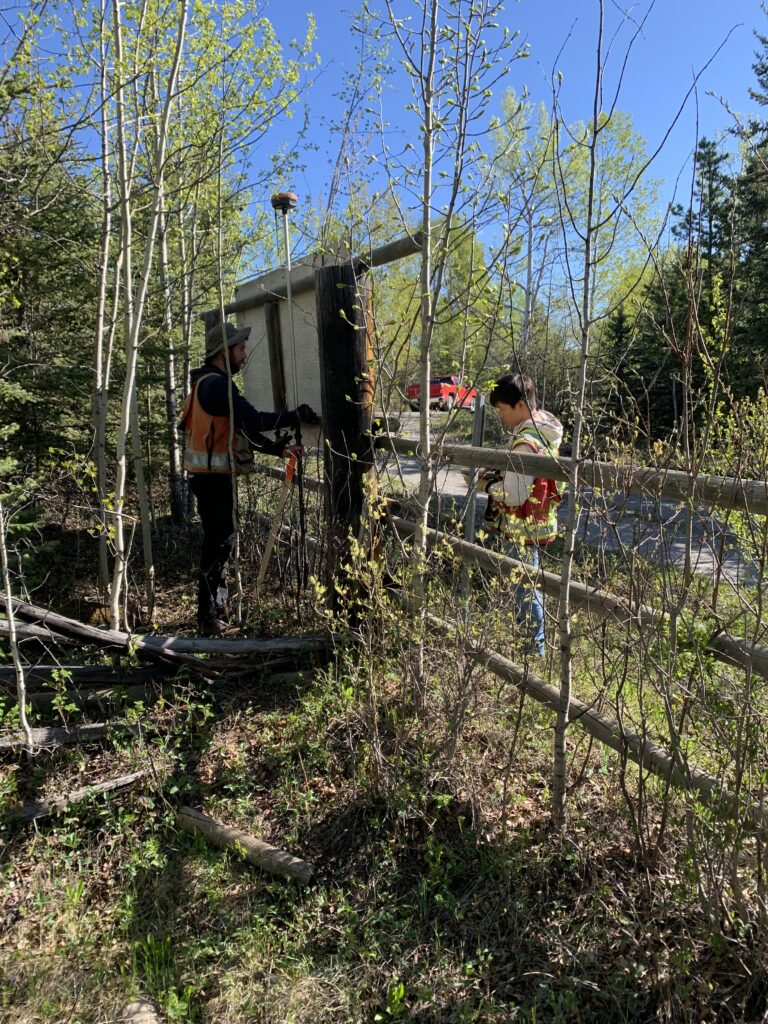
Choosing between a local base station and a network RTK subscription also shapes which receiver setup makes sense. A local base requires a second receiver unit, radio or cellular link, and a known or established control point, giving a crew independence from cellular coverage but adding setup time and equipment to haul around.
Network RTK relies on a subscription service and cellular connectivity, cutting setup down to minutes but making the crew dependent on network coverage, something that thins out quickly outside major Canadian population centres. Many surveyors keep both options available, running network RTK as the default and falling back to a local base on sites where coverage is unreliable. Crews weighing which receiver configuration fits their typical coverage area can review Bench-Mark’s page on GNSS receivers to compare rover and base station options built for both workflows.
Receiver electronics matter, but the housing around them decides how long that receiver survives a Canadian field season. A few specifications are worth checking before any purchase:
Bench-Mark sees this play out every winter across Canadian sites, where receivers rated for general use start showing reduced battery life or connector issues that better-built units simply do not run into.
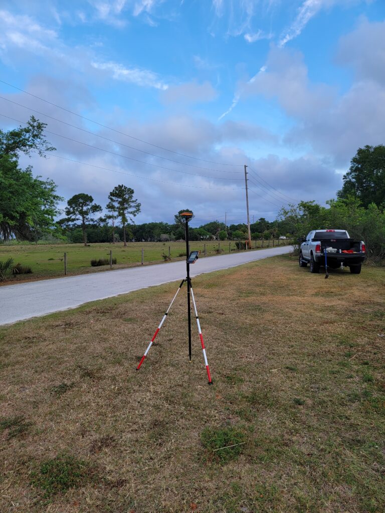
A receiver’s hardware specs only tell half the story. The software running on the data collector determines how usable that accuracy actually is in the field, how quickly a crew can code points, stake layout, and export deliverables without fighting the interface. FieldGenius, for example, has gone through a significant rebuild in recent versions, and confirming that a receiver’s firmware communicates cleanly with the chosen software avoids frustrating mismatches between hardware capability and what actually shows up on screen.
Choosing a GNSS receiver often starts with comparing brand names and price tags, but the more useful first step is identifying which category, form factor, frequency support, and correction method, actually fits the work. A crew that nails down category first and shops models second ends up with equipment that performs consistently across the range of sites they actually work, rather than a receiver optimized for a use case they rarely encounter.
Once that category is settled, the model comparison gets considerably easier, and considerably more likely to end in a receiver that earns its keep season after season.
