
Construction Surveying Explained: Tools, Accuracy, and Field Work
Before the first excavator moves dirt or the first concrete truck arrives, surveyors establish the control framework that guides every phase of construction. For land

Before the first excavator moves dirt or the first concrete truck arrives, surveyors establish the control framework that guides every phase of construction. For land

Even in a world dominated by RTK GNSS, drones, and machine control, the automatic level still earns its place on Canadian job sites. When it

Surveying for road construction is one of those disciplines where small errors turn into very expensive problems. A few centimeters off in alignment, elevation, or

Every surveyor has been stuck in the field with the wrong tool. Maybe you’re under a heavy canopy and your RTK rover won’t hold a

Topographic surveying looks simple on the surface: collect elevations, locate features, build a surface. But anyone who works in Canadian field conditions knows that nothing

Choosing the right surveying tripod is one of the easiest ways to improve accuracy in the field, yet it’s also one of the pieces surveyors
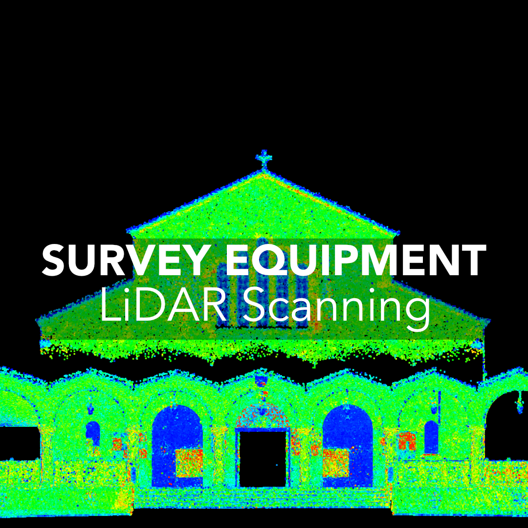
3D laser scanning used to be something only large engineering firms or industrial contractors could justify. Today, scanners are faster, more affordable, and far easier
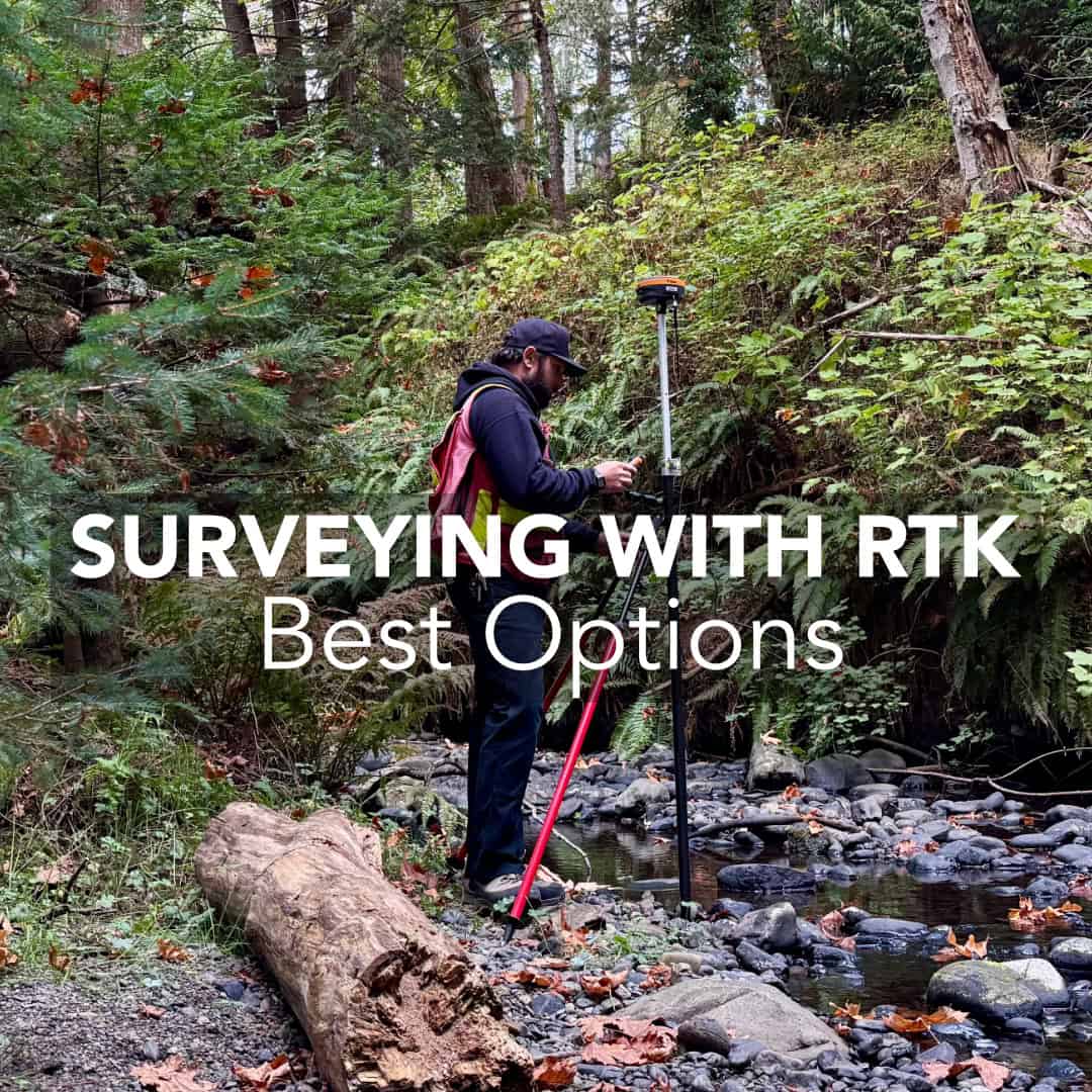
In most Canadian survey workflows today, RTK GNSS and robotic total stations carry the majority of the workload. They’re fast, efficient, and designed for one-person
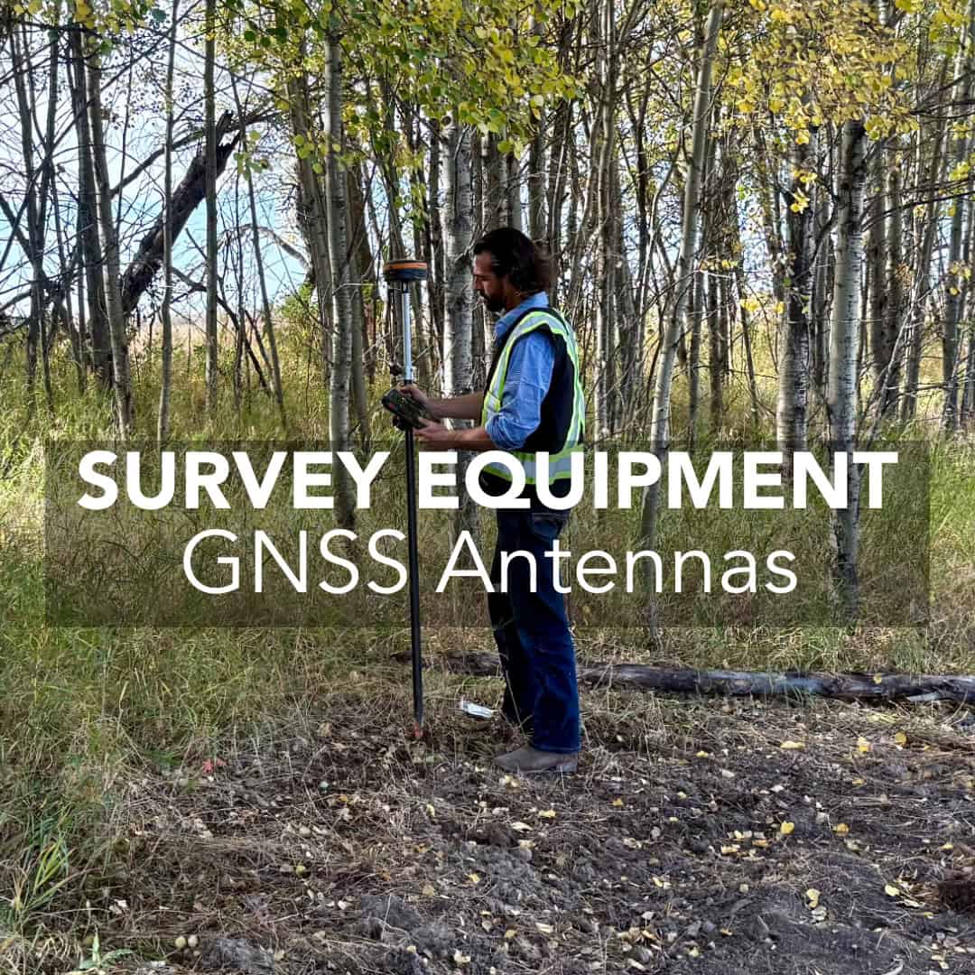
Choosing the right GNSS antenna is one of the most overlooked decisions in a survey setup that can make or break your accuracy. Your antenna’s
For land surveyors, civil engineers, and construction professionals working across Canada and the U.S., selecting the right RTK GNSS receiver is critical. A high-performance RTK