

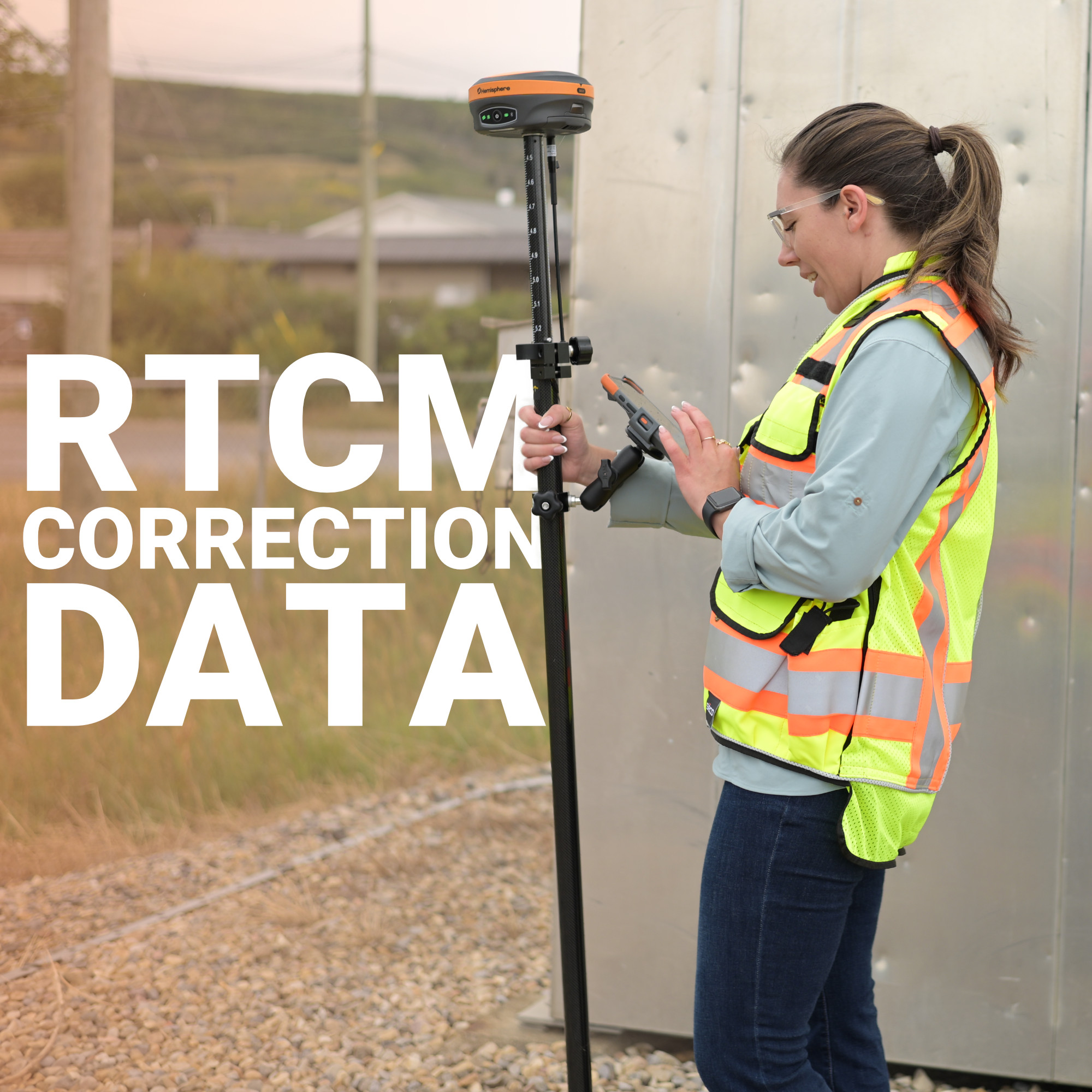
Two receivers standing ten metres apart can be looking at the same satellite and disagreeing about where it is by several metres. Not because either receiver is faulty, but because the raw signal carries baggage: atmospheric delay, orbital drift, clock error, all riding along with the data every GNSS receiver depends on.
RTCM is the format that lets a base station tell a rover exactly what that baggage looks like, in a language both machines can parse in real time. Without it, RTK doesn’t work. Every centimetre-accurate fix a survey crew pulls in the field traces back to a stream of RTCM messages doing quiet, unglamorous work in the background.
What Is RTCM?
Why RTCM Data Exists
How RTCM Corrections Move From Base to Rover
Single-Baseline vs. Network RTCM Delivery
What Degrades RTCM Correction Quality
Choosing a Correction Source in Canada
RTCM Compatibility: What to Check Before You Buy
The Correction Nobody Sees, But Every Fix Depends On
RTCM stands for Radio Technical Commission for Maritime Services, the organization that defined the messaging standard used to encode GNSS correction data. In practice, “RTCM” refers to the message format itself, specifically RTCM 3.x, the version nearly every modern RTK system runs on.
An RTCM message isn’t a position. It’s a structured data packet describing carrier-phase observations, satellite identifiers, and reference station coordinates, formatted so any compliant receiver can decode it regardless of manufacturer. That standardization is what makes RTK interoperable across brands. A rover from one manufacturer can pull corrections generated by a completely different manufacturer’s base station, because both sides speak RTCM.
Each RTCM message type serves a specific role. Observation messages carry the raw carrier-phase and code-phase data for a given constellation, GPS, GLONASS, Galileo, and BeiDou each get their own message types. Station coordinate messages tell the rover exactly where the base sits, which is what lets the rover calculate the correction delta in the first place. A modern multi-constellation setup is typically streaming several message types simultaneously, bundled into one correction feed.
GNSS satellites broadcast timing signals, and receivers use those signals to calculate distance to each satellite. That calculation is affected by a handful of predictable error sources:
These errors aren’t random from one receiver to the next. Two receivers sitting reasonably close together experience nearly identical atmospheric and orbital error at any given moment, because they’re looking at the same satellites through the same slice of sky. A base station at a known location isolates that shared error and packages it as an RTCM correction. The rover applies it, and the errors that would otherwise throw off both receivers cancel out.
The path from raw satellite signal to a fixed centimetre position follows a consistent sequence:
NTRIP is the transport layer that gets RTCM data from a base station to a field receiver over the internet. Bench-Mark equipment relies on standard NTRIP connections to pull correction streams from Canadian network providers, so a properly configured RTK GPS and GNSS receiver is really just an RTCM decoder with a very good antenna attached.
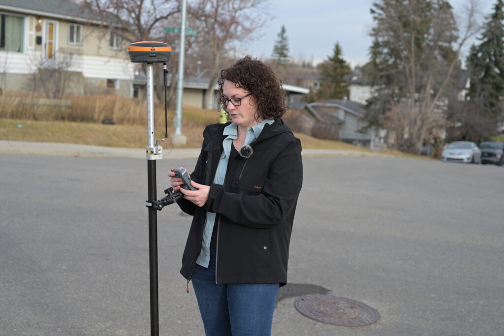
Not every RTCM stream comes from the same kind of source, and the difference affects both range and reliability.
Single-baseline RTK pulls RTCM data from one physical base station. It’s straightforward and effective within roughly 30 km, but accuracy erodes with distance, since atmospheric conditions at the base start to diverge from what the rover is experiencing.
Network RTK, sometimes delivered as a Virtual Reference Station (VRS), draws on multiple interconnected base stations across a region. The network models atmospheric conditions spatially and synthesizes an RTCM stream tailored to the rover’s approximate location, rather than relying on one fixed point. This keeps the effective distance short even when the nearest physical station is far away, which matters across the kind of geography Canadian crews regularly work in.
The density of the underlying station network determines how well this works. A sparse network produces coarser atmospheric modelling and slower convergence to a fixed solution. A dense one gets a rover locked in faster and holds it there more reliably.
An RTK receiver pulling in a clean RTCM stream and one struggling to hold a fix aren’t always separated by hardware quality. A few variables determine how well the correction data performs:
A crew troubleshooting a shaky fix on an otherwise clean site is usually running into one of these, not a defective receiver. That’s a common diagnostic conversation at Bench-Mark: the equipment is fine, and the correction stream feeding it is the variable worth checking.
Canadian surveyors generally have three practical ways to get RTCM data into a rover: a private single base station set up on a known point for a job, useful on remote sites without network coverage; a subscription network RTK service, which handles the base infrastructure and delivers a modelled correction stream over NTRIP, the most common approach for production survey and construction work; or a public CORS-based source, continuously operating reference stations available in some regions, with coverage and reliability that vary depending on where you’re working.
Most crews default to a subscription network for consistency and keep single-baseline capability in reserve for jobs that fall outside network coverage.
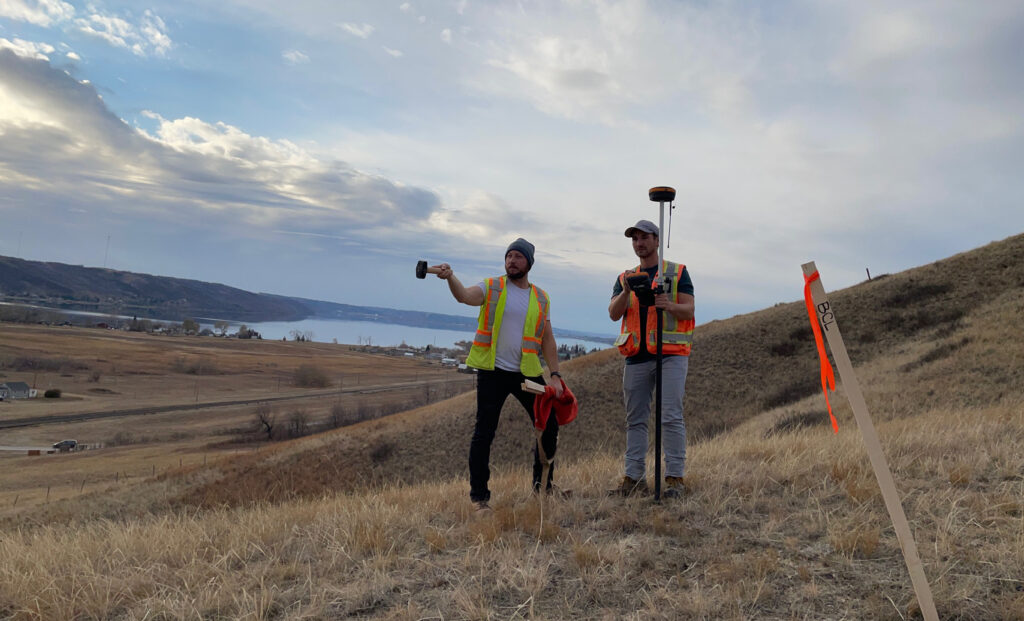
Not every receiver handles RTCM data the same way, and mismatched hardware is a common source of field frustration. Before pairing a new receiver with a correction service, confirm it supports RTCM 3.x, since older RTCM 2.x formats are largely obsolete; that it decodes observation messages for all constellations you intend to track, not just GPS; and that it has NTRIP client capability built in, or can be paired with a data collector that provides it.
The Hemisphere S631 and similar survey-grade receivers handle this natively, decoding multi-constellation RTCM streams and applying corrections without extra configuration once the NTRIP connection is set.
RTCM never shows up on a data collector screen. Nobody reads it, nobody quotes it in a deliverable, and most surveyors go entire careers without needing to know a message type number. But it’s the format doing the actual work behind every fixed solution, translating shared satellite error into a correction a rover can use in real time.
Getting reliable results in the field comes down to the same handful of variables every time: a clean, low-latency RTCM stream, a receiver that decodes it properly, and an antenna good enough not to waste the accuracy the correction data is providing. Get those three aligned, and the rest of the survey workflow takes care of itself.
