Canada manages more than 347 million hectares of forest land, the third largest forest area in the world. Yet the precision required to manage it responsibly doesn’t come from satellite imagery alone. It comes from boots-on-the-ground survey work that determines where boundaries lie, how much fibre a stand contains, whether a harvested block has regenerated successfully, and what the terrain will allow in terms of access and operations. Forestry surveying sits at the intersection of environmental stewardship and technical measurement, and getting it wrong has consequences that compound for decades. A misread regeneration survey can leave a company on the hook for remediation. A poorly controlled boundary survey can put harvesting operations in the wrong place entirely. The stakes are high, and the tools and methods used to survey forested land have never mattered more.
What Surveying for Forestry Management Actually Covers
Types of Control Points in Surveying for Forestry Applications
How to Establish Control Points in Surveying for Forested Terrain
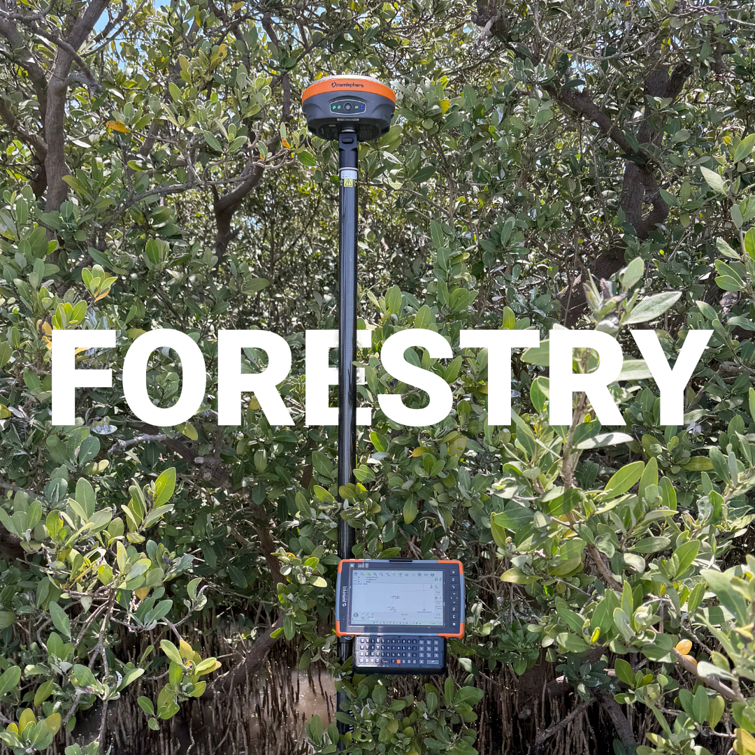
The Role of RTK GNSS in Modern Forestry Survey
Where Accuracy Meets Regulation
The Forest Doesn’t Forgive Imprecise Work
The phrase “surveying for forestry management” covers a wide range of work that is easy to conflate but important to distinguish. On one side is land surveying in the legal and cadastral sense, establishing property boundaries, timber licence areas, cutblock perimeters, and Crown land designations. On the other is silvicultural surveying, which measures biological characteristics of a forest stand: stocking density, species composition, regeneration success, and stand health.
Both matter, and in Canadian forestry operations they often overlap on the same project. A harvesting operation requires accurate legal boundaries to define where cutting is authorized. It then requires biological surveys to determine how the land recovers and whether regulatory obligations have been met. Surveyors and foresters frequently work the same ground at different stages of the same project.
For the purposes of this guide, we focus on the measurement and spatial side of forestry work, the instrumentation, positioning, and field data collection practices that make forestry survey data accurate and defensible.
Establishing spatial control is as critical in forested terrain as it is anywhere else, arguably more so, given how difficult it is to recover from positional errors in remote areas.
Horizontal control defines the position of cutblock boundaries, roads, stream buffers, and sensitive area exclusions in a two-dimensional plane. In Canadian forestry, these coordinates are typically referenced to NAD83 within the UTM projection system, which aligns with provincial government GIS layers and tenure mapping. Vertical control matters for drainage planning, road design, and any work that involves slope or elevation modeling.
Forestry projects in Canada commonly rely on a layered control approach:
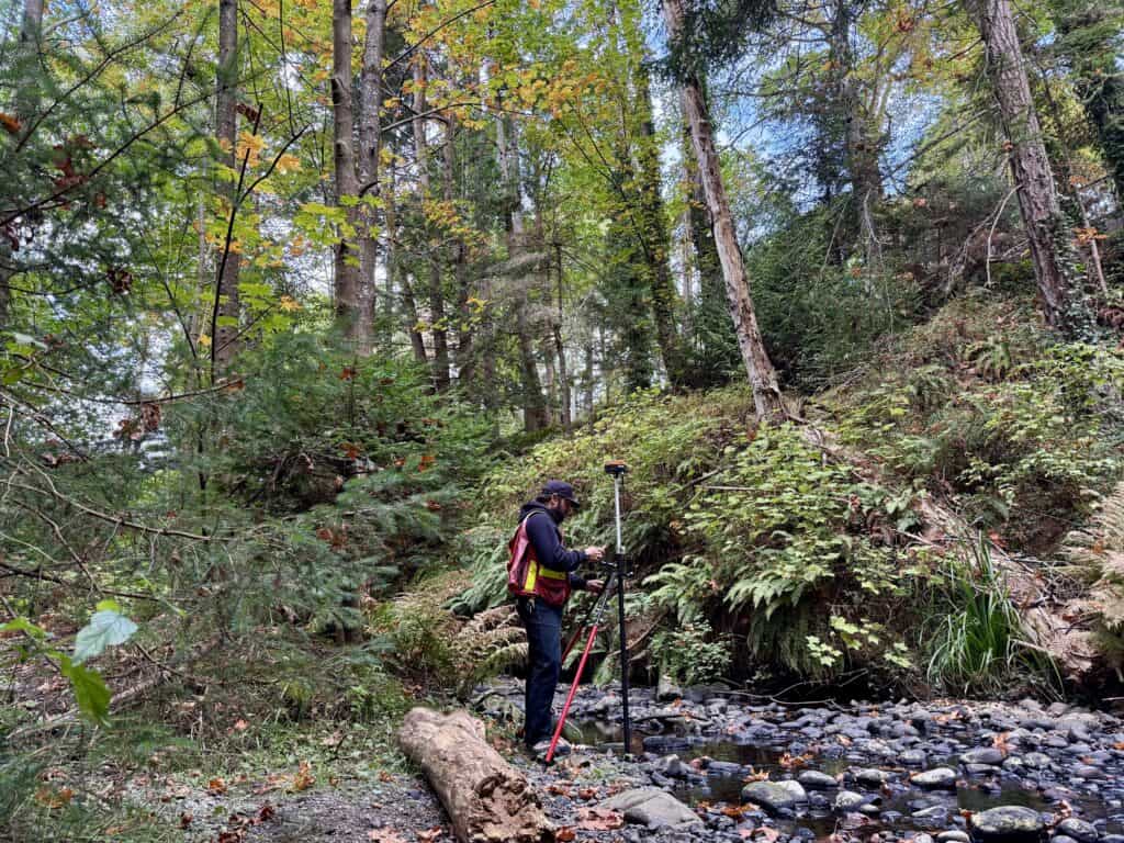
In dense boreal or coastal canopy, maintaining reliable RTK fixes is one of the most persistent challenges in forestry survey work. Multi-constellation receivers that track GPS, GLONASS, Galileo, and BeiDou simultaneously, like the Hemisphere S631, hold fix quality far better under canopy than single-constellation systems. More satellites in view means more geometric redundancy, and that redundancy is what keeps your positions defensible when you’re working beneath a closed spruce canopy or in a steep-sided valley.
The process of establishing control in a forestry context follows the same fundamental principles as any survey project, with additional considerations for access, canopy interference, and the often remote nature of the work.
Start with existing control. Before heading into the field, check provincial survey control databases and Natural Resources Canada’s geodetic network for monuments near the project area. Road allowance monuments, legal survey pins, and published benchmarks all provide ready-made anchors that tie your work to the provincial coordinate system without requiring you to build the entire framework from scratch.
Plan your observation windows. Canopy is the primary enemy of GNSS in forestry work. For control points that need to be established under or near trees, plan observations during periods of strong satellite geometry. Static GNSS sessions of longer duration can compensate for some signal obstruction, and post-processing against a CORS station or your own base can recover positions that would otherwise be unreliable in real time.
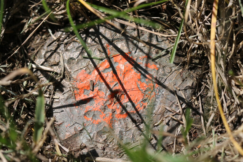
Monument durably for multi-season use. Forestry projects rarely end in a single field season. Cutblocks are harvested, monitored, and resurveyed over years or decades. Control monuments need to survive not just the immediate project but the next phase of work, which might happen after winter frost cycles, ground disturbance from slash, or years of vegetation growth. Iron pins below frost depth, witnessed by reference stakes and documented with written descriptions and photographs, hold up across seasons.
Verify before you extend. Any control point should be checked against at least one independent measurement before being used to generate legal or regulatory data. In forestry survey work this is especially important because errors identified in an office are far cheaper than errors found after a boundary dispute or a failed regeneration audit.
Traditional forestry survey relied heavily on compass and chain work, with total stations introduced as the primary precision instrument for boundary and road surveys. RTK GNSS changed the economics and speed of forestry survey work significantly, and for open or partially open terrain, it remains the most efficient positioning method available.
Modern RTK systems have also extended their usefulness deeper into forested environments through improved multi-frequency tracking, better signal processing algorithms, and tilt compensation technology that allows surveyors to collect points without perfectly levelling the pole. For timber boundary work, cutblock layout, and road design surveys, an RTK rover paired with a reliable correction source, whether from a base station, a provincial network, or a satellite-based service, can collect defensible coordinates faster than any previous method.
The practical limits remain real, however. Heavy conifer canopy, particularly in coastal BC or dense boreal stands, will cause even the best receiver to lose fix or degrade to float solutions. Experienced forestry surveyors know when to switch from RTK to a total station traverse, and they set up their equipment accordingly. Having both tools available, and knowing which to reach for, is what separates reliable forestry survey data from data that has to be reshot.
At Bench-Mark, we work with surveyors and forestry professionals across Canada who need equipment that performs in real field conditions, not just on a benchmark pad.
Software matters as much as hardware in forestry survey workflows. FieldGenius running on a data collector allows surveyors to capture, code, and organize points in the field in a way that feeds directly into CAD and GIS platforms used for cutblock design, road engineering, and tenure mapping. Clean field-to-office data flow reduces the re-entry errors and interpretation problems that have historically added cost to forestry projects.
Canadian forestry is among the most heavily regulated resource industries in the world. Provincial forest acts, harvest authorities, and reforestation obligations all create legal accountability for spatial data. Cutblock boundaries that extend into riparian buffers or protected areas carry real regulatory and financial consequences. Regeneration surveys that fail to meet stocking standards trigger remediation requirements. Road surveys that misplace structures relative to watercourses can require expensive relocation.
In this environment, survey accuracy is not an abstract technical standard, it is a form of legal compliance. The coordinates you collect, the control you tie to, and the methods you use to verify your work all become part of the documented record that provincial ministries review. That record needs to hold up.
Forestry surveying in Canada demands the same precision as any urban or engineering survey, delivered across terrain that is often remote, obstructed, and unforgiving of error. The combination of accurate GNSS control, intelligent field methods, and survey-grade instrumentation is what makes it possible to work productively in that environment without sacrificing the data quality that regulations and client expectations require.
