Home > Surveying Equipment > UAV LiDAR Sensors

Advanced tools for surveying and 3D data collection
UAV LiDAR technology helps surveying, engineering, and mapping professionals capture accurate spatial data efficiently across large and complex environments. These solutions are widely used for topographic mapping, corridor surveys, utility inspections, forestry analysis, construction documentation, and infrastructure projects where reliable aerial data collection is essential.
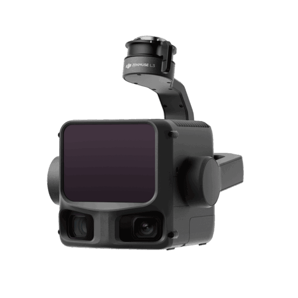
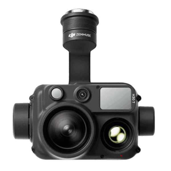
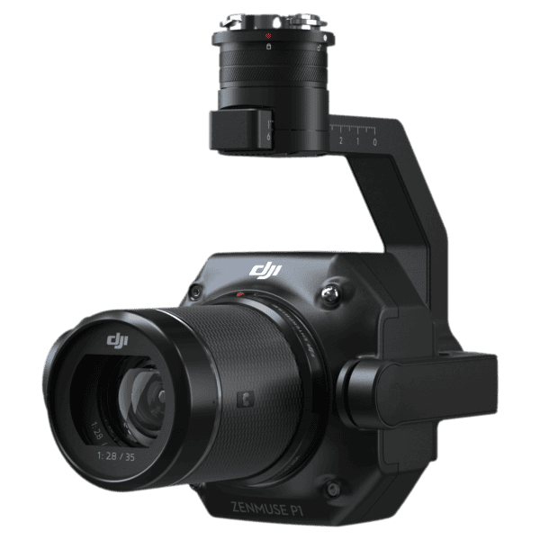
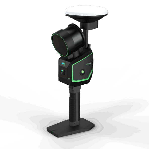
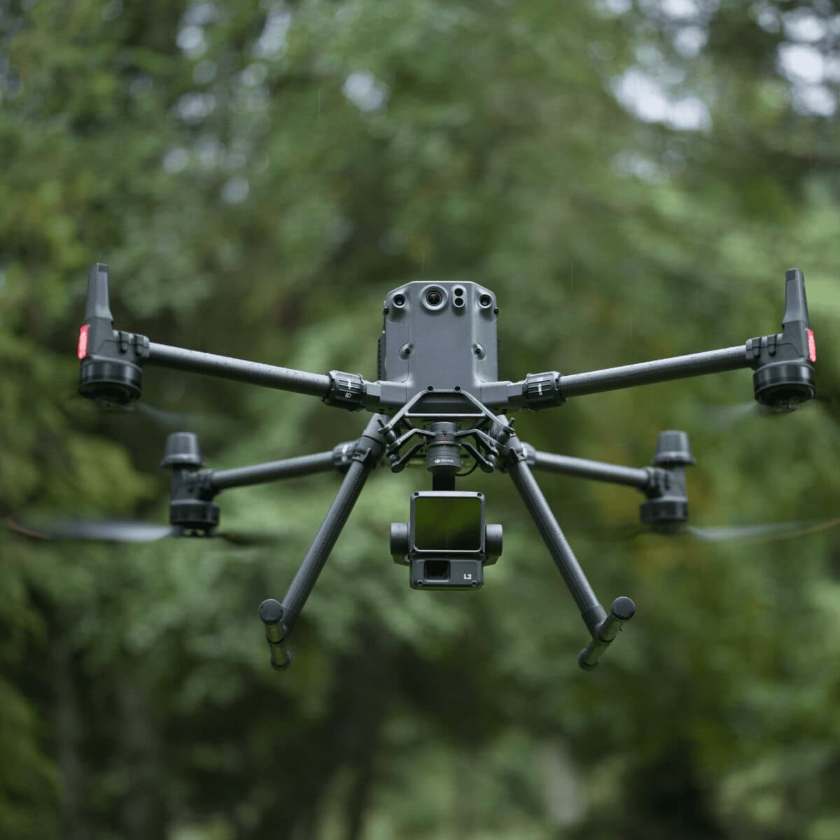
We offer professional UAV LiDAR sensors designed for DJI drone platforms used in surveying, mapping, inspection, and geospatial workflows. Our product lineup includes DJI Zenmuse LiDAR units, aerial mapping cameras, SLAM LiDAR solutions from GreenValley International, and professional processing software such as DJI Terra and DJI Modify.
These solutions help professionals generate accurate point cloud data, improve field efficiency, and streamline aerial mapping workflows across construction, infrastructure, utility, forestry, and geospatial applications.
Showing all 9 results
Important factors include drone compatibility, positioning accuracy, scanning range, point cloud density, software workflow, terrain conditions, and the type of deliverables required for your projects.
LiDAR uses laser pulses to generate accurate 3D point cloud data, while photogrammetry creates models from overlapping aerial images. UAV LiDAR solutions are often preferred for vegetation, complex terrain, and environments where reliable elevation data is required.
Yes. DJI-based UAV LiDAR sensors are widely used for topographic surveys, construction mapping, utility inspections, stockpile calculations, corridor mapping, and infrastructure documentation.
Yes. LiDAR technology can penetrate gaps in tree canopy and vegetation to collect ground elevation data that is difficult to capture using traditional aerial imagery alone.
Processing workflows commonly use platforms such as DJI Terra, DJI Modify, and other point cloud software to generate terrain models, contours, classifications, and 3D mapping deliverables.
Professional UAV LiDAR sensors can deliver highly accurate positioning and dense point cloud results when properly configured with RTK or PPK workflows. Final accuracy depends on flight conditions, control setup, terrain, and sensor configuration.
Efficient aerial data capture in demanding environments
Modern UAV LiDAR sensors help professionals collect large amounts of spatial data faster while maintaining reliable accuracy across challenging environments. Compared to traditional ground surveying methods, aerial LiDAR workflows improve efficiency on large sites and reduce time spent in the field.
Surveyors, engineers, utility contractors, mining professionals, and infrastructure teams use UAV LiDAR technology for topographic surveys, corridor mapping, vegetation analysis, site modeling, and asset inspections. Advanced aerial mapping solutions help improve productivity while supporting accurate 3D data collection and processing workflows.
Our selection includes DJI LiDAR sensors, aerial mapping cameras, SLAM LiDAR solutions, and processing software designed for professional geospatial applications throughout Canada.

Equipment designed for accurate aerial mapping
Choosing the right UAV LiDAR sensor depends on project requirements, drone compatibility, terrain conditions, processing workflows, and required data accuracy. Professional aerial LiDAR solutions help organizations improve efficiency while producing dependable mapping and inspection deliverables.
Bench Mark provides professional guidance, reliable equipment, and technical support for surveying, engineering, mapping, utility, and infrastructure professionals seeking advanced UAV LiDAR solutions for demanding field applications.