

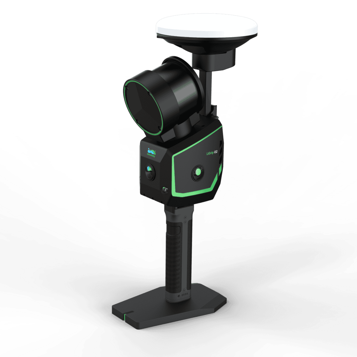
LiGrip O2 is a flagship handheld SLAM LiDAR with triple panoramic cameras, dual VSLAM, and GNSS—delivering <3 cm absolute accuracy and 2 mm-spacing point clouds in RTK, PPK, MLF, or pure SLAM modes. Built for surveying and construction teams who need tripod-class results, faster.
Product details
Package includes
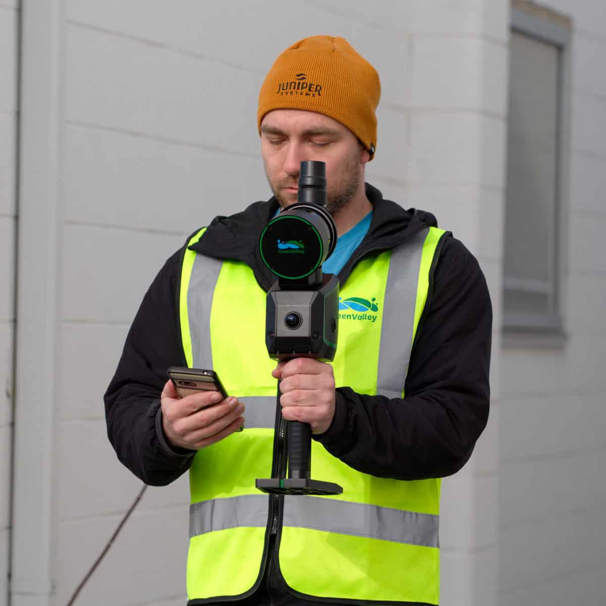
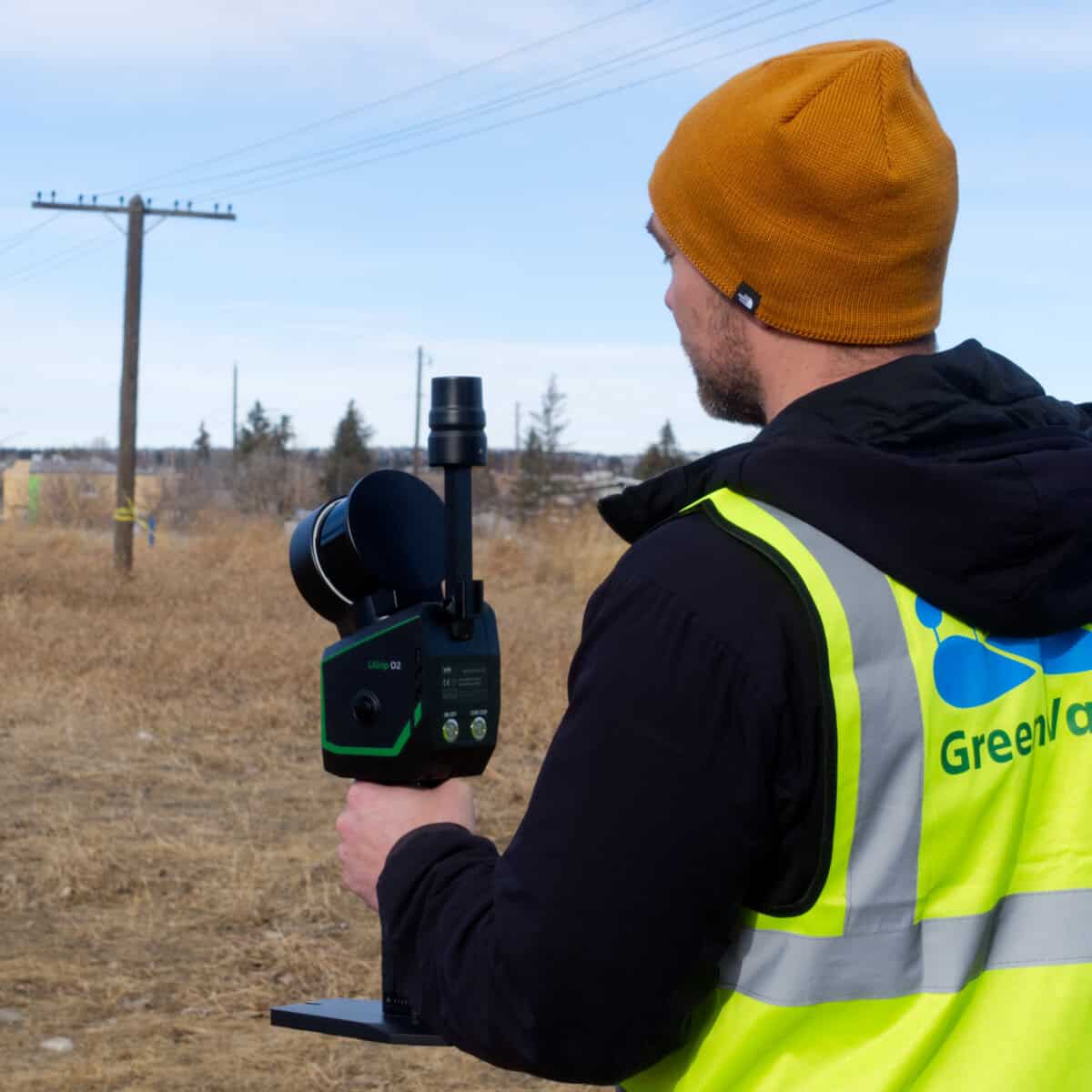
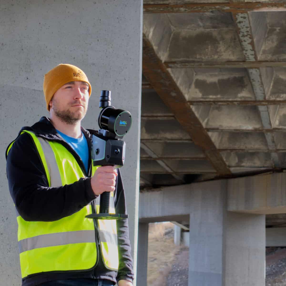
Meet the LiGrip O2, GreenValley’s flagship handheld SLAM LiDAR scanner built for crews who need survey-grade results with field-ready simplicity. This all-in-one unit pairs a high-accuracy laser with three panoramic cameras(front/left/right) and dual 1.3 MP VSLAM cameras, plus onboard GNSS, so you can colourize and register on the fly—indoors, outdoors, underground, and everywhere in between. Whether you’re scanning tight MEP corridors, long tunnel drives, or complex plant rooms, the O2 keeps trajectories stable across low-feature areas and reflective surfaces, delivering <3 cm absolute accuracy, <2 cm repeatability, and millimetre-level point clouds with 2 mm spacing—comparable to terrestrial laser results without the tripod shuffle.
Choose the positioning mode that fits the site: RTK-SLAM when you’ve got corrections, PPK-SLAM when you don’t, MLF-SLAM for low/no-feature environments, and classic SLAM for GNSS-denied spaces. The system pushes up to 640,000 pts/s with ranges to 300 m (XT32M2X) and 0.5 cm LiDAR accuracy, wrapped in an IP64 housing that’s comfortable to run all shift at ~2.2–2.5 kg. Hot-swappable batteries deliver up to 120 minutes per pack, and the frontpack/backpack kits keep weight off your arms during long routes. Export clean, coloured deliverables in the formats your clients expect—LAS/LiDATA point clouds, OSGB mesh, and Gaussian Splatting (ply, lisplat)—and hand off JPG panoramas for context. From topographic pickups and as-builts to clash checks, volumetrics, deformation monitoring and digital twins, LiGrip O2 helps small teams produce big-firm results—fast—without sacrificing accuracy.
Highlights for field crews
Triple panoramic cameras = richer colouring + better 3DGS quality
Dual-camera VSLAM for stable mapping in tunnels and low-texture areas
Survey-grade performance: <3 cm absolute, <2 cm repeat, <1 cm relative
2 mm point spacing outputs for millimetre-level detail
Four positioning modes (RTK/PPK/MLF/SLAM) to suit any site
Up to 640k pts/s, 300 m max range, Class 1 eye-safe
IP64, -20°C to 40°C operating, 512 GB SSD, Type-C workflow
The LiGrip O2 supports RTK-SLAM, PPK-SLAM, MLF-SLAM, and standard SLAM, so the appropriate mode depends on the conditions at the site. RTK-SLAM is intended for areas where RTK corrections are available, PPK-SLAM can be used when real-time corrections are unavailable, MLF-SLAM is designed for low-feature environments, and SLAM is intended for GNSS-denied areas such as indoor or underground spaces.
The published specification lists less than 3 cm absolute accuracy, less than 1 cm relative accuracy, and less than 2 cm repeat accuracy under the stated test conditions. The manufacturer notes that absolute and repeat accuracy can vary depending on the scenario and testing conditions, so these figures should be treated as specified performance rather than a guarantee for every project environment.
Yes. The O2 supports multiple SLAM modes specifically for environments where GNSS is limited or unavailable. MLF-SLAM is intended for low-feature environments, while standard SLAM is designed for GNSS-denied areas; this makes the system suitable for applications such as tunnels, underground spaces, and indoor environments where conventional GNSS positioning cannot be relied upon.
Not necessarily. RTK corrections are used with RTK-SLAM when real-time positioning corrections are available, but the O2 also supports PPK-SLAM, MLF-SLAM, and standard SLAM for different site conditions. The positioning method should therefore be selected based on the environment and the accuracy requirements of the project rather than assuming RTK is required for every scan.
The available measurement range depends on the LiDAR configuration. GreenValley specifies up to 120 m for the XT16 and XT32 configurations and up to 300 m for the XT32M2X configuration. The higher-range configuration can be useful for projects where longer standoff distances are important, while the appropriate option should be selected based on the required range and scanning workflow.
Yes. The system supports several data collection configurations in addition to handheld operation, including backpack, frontpack, telescopic pole, vehicle-mounted, and UAV-mounted configurations. This allows the same platform to be adapted to different environments and project requirements rather than limiting it to short handheld scanning sessions.
The LiGrip O2 package listed by Bench Mark includes a perpetual LiDAR360MLS license, which is used for processing the scanner’s data. The system supports outputs including LAS and LiDATA point clouds, OSGB mesh, Gaussian Splatting formats, and panoramic imagery, allowing the resulting data to be used in different downstream mapping and reality-capture workflows.
The published battery figure is up to 120 minutes per battery, measured at 20°C without camera recording or an RTK connection. The system supports hot-swappable batteries, and the Bench Mark package includes two batteries, making it possible to extend field sessions without stopping for a full recharge.

Navigating the learning curve independently can be daunting, which is why we offer a solution to simplify your journey. Our program features twice-weekly training sessions designed to accommodate your schedule, making it ideal for onboarding new team members or resolving specific queries through live demonstrations on Zoom.
View Info
Learning a new software package can be daunting, but we have got you covered. That is why we created the Bench-Mark Survey Academy, where you can learn at your own pace. With over 15 hours of content in our library, you can access it on your own time and conquer new skills with ease. But don’t let that overwhelm you, it takes only 20 minutes to get up and running.
View Info

Reviews
There are no reviews yet.