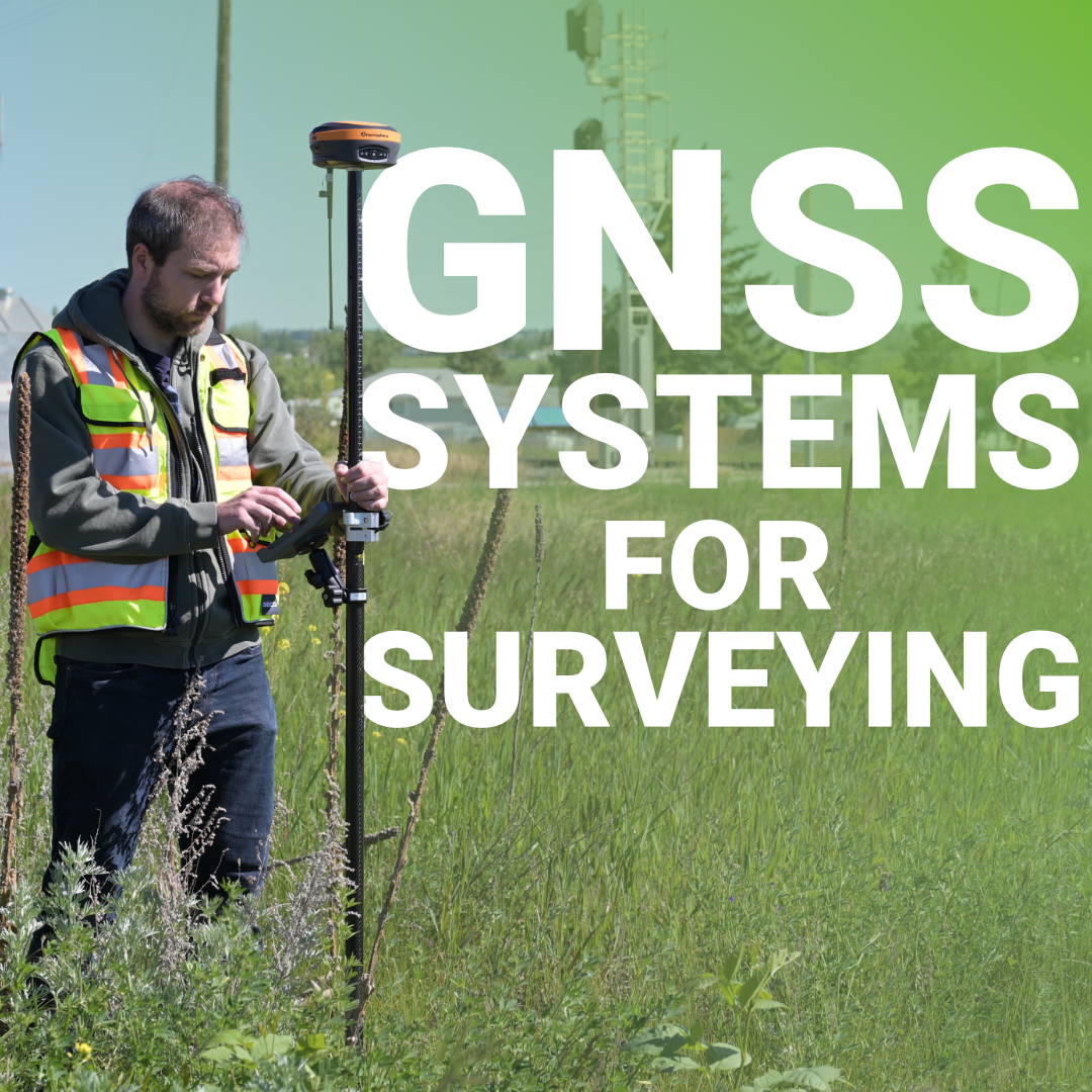
Every coordinate you collect starts with a satellite signal traveling 20,000 kilometers through the atmosphere to reach your receiver. That signal gets delayed by water vapor, bounced off buildings, and degraded by interference before your equipment calculates a position. Standard GNSS positioning gives you accuracy within a few meters. RTK GPS GNSS receivers push that down to centimeters.
The difference is understanding how GNSS systems actually work, what limits their accuracy, and when different positioning methods make sense for your project. For surveyors working on construction sites, subdivisions, or infrastructure projects across Canada, knowing how your GNSS system calculates position and when to use RTK versus static methods affects both your efficiency and your data quality.
How GNSS Systems Calculate Position
What Limits GNSS Accuracy
How RTK Improves Accuracy
When to Use RTK
Post-Processed Kinematic (PPK) as an Alternative
Choosing the Right GNSS System for Your Work
GNSS Systems That Work for Canadian Conditions
GNSS stands for Global Navigation Satellite System. It’s the term for any satellite-based positioning system that provides global coverage. GPS, GLONASS, Galileo, and BeiDou are all GNSS systems. Each operates independently but uses the same basic principle to calculate position.
Your receiver picks up signals from multiple satellites. Each satellite broadcasts its exact position and the precise time the signal was transmitted. Your receiver compares the transmission time to its reception time and calculates how long the signal took to arrive. Because GNSS signals travel at the speed of light, the receiver can calculate the distance to each satellite.
With the distance to one satellite, you know you’re somewhere on a sphere around it. Two satellites narrow that down to a circle. Three satellites give you two possible points. The fourth satellite resolves which point is correct and corrects your receiver’s clock error.
This method is called trilateration. The more satellites your receiver can track, the better the geometry and the more accurate your position. This is why multi-constellation GNSS receivers perform better than GPS-only units. You’re not limited to 6-10 GPS satellites. You have access to 20-40 satellites from multiple constellations.
Even with perfect satellite geometry, several factors affect how accurately your receiver can calculate position.
Standard GNSS receivers in smartphones or consumer devices use these raw satellite signals and apply basic corrections. They achieve accuracy in the range of 3-10 meters. That’s fine for navigation but not usable for surveying.
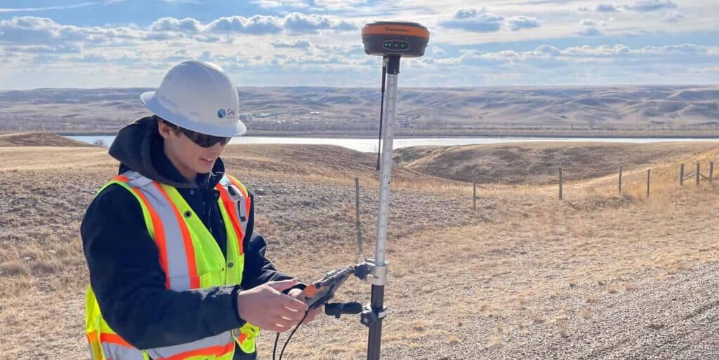
Real-Time Kinematic (RTK) is the standard method for achieving centimeter-level accuracy with GNSS. RTK uses two receivers: a stationary base station and a mobile rover.
The base station sits over a known point or averages its position for several minutes. It receives the same satellite signals as your rover and calculates what errors are present in those signals. Because the base knows its true position, it can determine how much error exists in the raw satellite data.
The base sends these corrections to the rover in real time via radio or cellular connection. The rover applies the corrections to its own satellite observations and calculates its position with centimeter-level accuracy.
RTK works because the base and rover are close enough that they experience similar atmospheric conditions and satellite geometry. The errors affecting the base are nearly identical to the errors affecting the rover. When you correct for those errors, you eliminate most of the inaccuracy.
For RTK to work effectively, keep your baseline under 10 kilometers. Beyond that distance, atmospheric conditions start to vary between the base and rover, and correction accuracy degrades. Most surveyors aim for baselines under 5 kilometers when possible.
RTK is the right choice when you need centimeter-level accuracy and real-time results. Here’s where it fits best:
Staking building corners, curbs, utilities, or any construction element requires RTK. You need to know your position immediately so you can mark points and move to the next one.
Collecting terrain data for design or as-built documentation works well with RTK. You walk the site, shoot points, and build your surface model as you go.
When you’re setting property corners or collecting evidence for boundary determination, RTK gives you the accuracy you need in real time.
Machine Control: Excavators, graders, and other heavy equipment use RTK GNSS receivers to guide cutting edges and blades. The equipment needs real-time corrections to operate accurately.
RTK requires a live correction source. If you’re working in remote areas without cellular coverage and don’t want to set up a base station, consider PPK instead.
PPK uses the same principles as RTK but applies corrections after the survey is complete. Your rover logs raw GNSS data during the survey. Later, you process that data using observations from a base station or a CORS network.
PPK achieves the same accuracy as RTK but doesn’t require a live connection between the base and rover. This makes it useful in remote areas or when working in environments with heavy radio interference.
PPK is also common in drone surveying. The drone logs raw GNSS data as it flies, and you process the flight after landing to generate accurately geotagged images.
The downside of PPK is that you don’t know if you have good data until after you process it. With RTK, you can verify your fix quality in real time and reshoot points if needed.
Not every project needs RTK. Understanding when to use different GNSS methods helps you work more efficiently.
Use RTK when you need real-time accuracy for layout, stakeout, or topographic data collection. It’s the standard for most surveying work and integrates well with FieldGenius and other survey software.
Use PPK when working in remote areas without NTRIP coverage or when flying drones for aerial surveys. You’ll process the data later but achieve the same accuracy as RTK.
Use static methods for control networks, geodetic surveys, or projects where you need the highest possible accuracy over long baselines. The observation times are longer, but the results are more precise.
Use standard GNSS positioning (no RTK) for reconnaissance work, general mapping, or GIS data collection where meter-level accuracy is acceptable.
The key is matching the method to the accuracy requirements and working conditions. Don’t overcomplicate simple projects, but don’t compromise accuracy when it matters.
GNSS systems for surveying have evolved significantly over the past decade. Modern RTK GPS GNSS receivers deliver accuracy that used to require hours of static observation. Multi-constellation tracking ensures reliable performance even in challenging environments. NTRIP services eliminate the need for base stations on many projects.
For surveyors working across Canada, understanding how GNSS systems calculate position and when to use different methods affects both productivity and data quality. RTK is the standard for most fieldwork. PPK extends that accuracy to remote areas and aerial surveys. Static methods provide the precision needed for control networks.
At Bench-Mark, we’ve worked with surveyors across Canada to configure GNSS systems for every type of project. Whether you’re running RTK on a subdivision in Ontario, setting control for infrastructure in Alberta, or collecting topographic data in British Columbia, the right GNSS system makes the difference. Because accurate positioning starts with understanding how the system works.
