Home > DJI Enterprise
Professional DJI Platforms
We offer a range of DJI enterprise drones configured for professional field use, including RTK-enabled platforms and systems compatible with photogrammetry and DJI LiDAR workflows. These drones are widely used for topographic surveys, construction progress tracking, infrastructure inspection, and emergency response where accurate aerial data and reliable flight performance are essential.
Enterprise DJI platforms are designed to support consistent mission planning, stable imaging, and efficient data capture in demanding environments. Their integration with professional processing software allows collected imagery and LiDAR data to move quickly into CAD, GIS, and modeling workflows used by surveyors and engineers across Canada.
Showing all 11 results


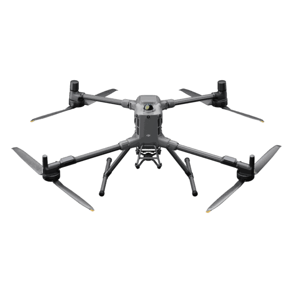
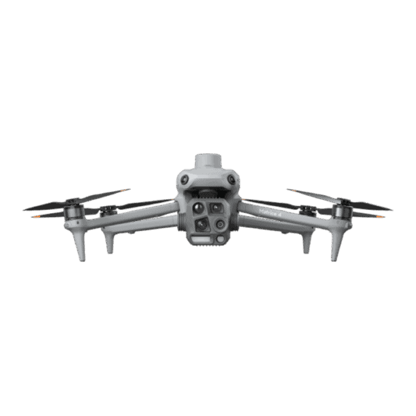
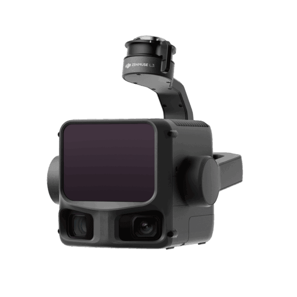
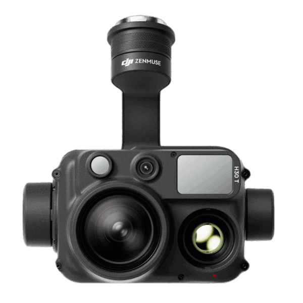
DJI enterprise drones are built for professional workflows such as surveying, mapping, inspection, and emergency response. They offer higher payload capacity, RTK positioning, interchangeable sensors, and greater durability compared with consumer DJI drones.
Yes. Many DJI enterprise drones support RTK or PPK positioning and can integrate with photogrammetry or DJI LiDAR payloads, enabling accurate topographic mapping, volume calculations, and site documentation.
Select enterprise platforms support DJI LiDAR sensors designed for terrain modeling, forestry analysis, and high-accuracy 3D data capture in complex environments such as vegetation or uneven terrain.
Yes. DJI drones in Canada are widely used for commercial operations including surveying, construction monitoring, inspections, and public safety. Operators must follow Transport Canada regulations and certification requirements.
The right system depends on payload needs, accuracy requirements, flight time, and environment. Compact platforms suit rapid mapping and inspection, while larger Matrice systems support LiDAR, thermal imaging, and multi-sensor workflows.
Professional Support Across Canada
Our selection of DJI drones focuses on dependable field performance, accurate positioning, and compatibility with professional surveying and engineering software. From compact RTK mapping drones to full aerial survey platforms equipped with DJI LiDAR, each system is chosen to deliver consistent data quality and efficient project execution.
We also provide guidance on configuration, workflow integration, and long-term operation to help ensure reliable results in real survey conditions. This practical support allows professionals to deploy DJI enterprise systems with confidence across a wide range of applications.
Accurate Aerial Data Collection
DJI LiDAR sensors and advanced imaging payloads expand the capability of DJI enterprise drones by enabling precise terrain modeling, vegetation penetration, and detailed 3D data capture. These technologies are particularly valuable for projects where traditional photogrammetry is limited by surface cover, lighting conditions, or complex geometry.
When combined with RTK-enabled drone platforms, LiDAR and high-resolution imaging systems support faster data acquisition, reduced ground control requirements, and consistent accuracy across large or difficult survey areas. The result is reliable aerial information ready for integration into CAD, GIS, and engineering analysis workflows.