

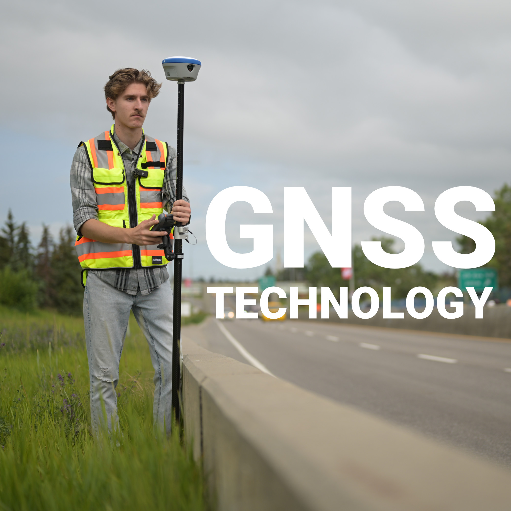
The first commercially available GPS receivers in the 1980s were the size of a suitcase, cost more than a house, and told you where you were to within a hundred metres, on a good day. Today, a survey-grade GNSS receiver fits in a field vest pocket, costs a fraction of what it once did, and resolves your position to within a centimetre in real time against satellites orbiting 20,000 kilometres overhead. That progression didn’t happen in a straight line. It happened through decades of parallel advances in satellite constellation design, signal architecture, receiver electronics, and correction methodology, each building on the last until the technology crossed a threshold that made centimetre-level positioning routine rather than remarkable.
Before Satellites: The Navigation Problem
The Doppler Insight That Changed Everything
GPS: The First Global System
RTK and the Correction Architecture That Enabled Centimetre Positioning
The Constellation Expansion That Strengthened Everything
The Correction Network Infrastructure That Made RTK Scalable
Accuracy Crossed a Threshold That Changed What’s Possible
The need to know precisely where you are is as old as human movement, but the engineering response to that need has a surprisingly recent history. The systems that directly preceded GNSS technology weren’t space-based at all. Ground-based radio navigation, developed through the 1940s and refined during World War II, operated by broadcasting timed radio pulses from known fixed stations. Receivers measured the time difference between signals arriving from multiple transmitters and used that differential to fix a position.
LORAN, developed at MIT and adopted broadly through the late 1950s, was the most capable of these systems. It offered range up to 1,500 miles but accuracy only in the range of hundreds of feet under good conditions. Useful for ocean navigation. Useless for anything requiring positional precision on the ground. The fundamental limitation was geometric: ground-based transmitters constrain the angular diversity of your signals, and without angular diversity in three dimensions, you can’t resolve elevation. Satellite-based systems solved that problem by placing the transmitters overhead.
The conceptual leap that made satellite navigation possible came from an unexpected direction. When the Soviet Union launched Sputnik in 1957, a group of scientists at Johns Hopkins Applied Physics Laboratory noticed something while monitoring its radio transmissions: the signal’s frequency shifted predictably as the satellite moved relative to their position. That Doppler shift, precisely measured, contained enough information to determine the satellite’s orbit. The inverse was also true, if you knew the orbit precisely, you could use the Doppler shift to determine your position on the ground.
The U.S. Navy operationalized this principle through the Transit system in the 1960s. Transit wasn’t fast, a position fix could take 30 to 90 minutes depending on satellite geometry, but it was accurate enough for surveyors to locate remote benchmarks to sub-metre precision using accumulated fixes. For the first time, a receiver on the ground could determine its absolute position without a line of sight to a fixed ground station. The architecture of modern GNSS systems traces directly back to this moment.
The Global Positioning System was formally initiated by the U.S. Department of Defense in 1973, drawing on classified engineering studies accumulated through the previous decade. The design intent was a 24-satellite constellation providing continuous global coverage with enough geometric diversity, satellites visible at multiple elevations from any point on Earth, to resolve three-dimensional position in real time rather than through accumulated fixes.
The first experimental Block-I satellite launched in 1978. Full operational capability, meaning the complete 24-satellite constellation, wasn’t declared until 1993, a development timeline of fifteen years that reflects the scale of what was being built. Civilian access was announced by President Reagan in 1983 following the KAL 007 navigational disaster, but came with a significant catch: Selective Availability. The U.S. military deliberately degraded the civilian GPS signal, introducing errors of 50 to 100 metres to prevent adversaries from using the system for precision targeting. For surveyors, that made GPS suitable for reconnaissance but not for measurement.
Selective Availability was switched off in May 2000 under President Clinton, and civilian GPS accuracy improved immediately from roughly 100 metres to 10 to 15 metres. But even that wasn’t enough for survey applications. The jump from 15 metres to centimetres required something beyond better satellite signals.
The transition from metre-level to centimetre-level GNSS accuracy didn’t come from better satellites. It came from understanding and correcting for the sources of error that degrade raw satellite signals, and from a technique called Real Time Kinematic positioning.
Raw GNSS signals carry errors introduced by several sources:
RTK addresses these errors by operating two receivers simultaneously: a base station at a known position and a rover in the field. The base continuously compares what it observes from each satellite against what it should observe given its known location. The difference is the real-time error in that satellite’s signal. Those corrections broadcast to the rover allow it to eliminate the same errors from its own observations, because both receivers are close enough to share essentially the same atmospheric and geometric conditions.
The critical additional step in RTK is carrier phase measurement. Early GPS receivers measured the time it took a signal’s coded message to arrive, the pseudorange. RTK receivers also measure the phase of the carrier wave itself, which oscillates at roughly 19 centimetres per cycle for the L1 frequency. Resolving how many complete cycles exist between satellite and receiver, the integer ambiguity problem, allows position to be computed at a fraction of a wavelength. Once that ambiguity is resolved and locked, positional precision drops to the centimetre level and stays there in real time, as long as the fix is maintained.
At Bench-Mark, the equipment we sell is built around this architecture. The Hemisphere S631, our primary RTK receiver, applies these correction principles across all available constellations simultaneously, GPS, GLONASS, Galileo, and BeiDou, which is precisely why it achieves the fix reliability and accuracy it does.
GPS was designed around 24 satellites because that number was calculated to guarantee at least four satellites visible from any point on Earth at any time, the minimum required for a three-dimensional fix. Four satellites is the floor, not the ceiling, and performance close to the floor is noticeably worse than performance with eight or ten satellites in view.
The expansion of GNSS systems beyond GPS changed the geometry fundamentally:
A modern multi-constellation receiver tracking all four systems simultaneously can observe 30 to 40 satellites at once under open sky. More satellites means better geometric dilution of precision, faster ambiguity resolution, more redundancy when individual signals are obstructed, and the ability to maintain fix quality in environments, urban canyons, partial canopy, near structures, where single-constellation receivers would struggle or lose fix entirely. This is why multi-constellation support isn’t a marketing feature on survey-grade equipment. It’s a fundamental determinant of how the receiver performs when conditions aren’t ideal.
Early RTK required each operator to own and deploy their own base station, set it up over a known point, and stay within radio range of the rover, typically 10 to 20 kilometres before correction quality degraded. That workflow was workable but operationally demanding.
Continuously Operating Reference Station networks, CORS networks, changed the architecture. A CORS network is a permanent array of precisely surveyed base stations broadcasting real-time corrections across a wide area, eliminating the need for each operator to maintain their own base. In Canada, Natural Resources Canada operates the Canadian Active Control System, a network of reference stations providing correction data across the country. Provincial networks and commercial correction services extend coverage further.
Network RTK takes this further still. Rather than broadcasting corrections from a single nearest base station, network RTK interpolates corrections from multiple surrounding stations to model the atmospheric and geometric errors at the rover’s specific location. The result is more accurate and more consistent corrections across the entire coverage area, regardless of where exactly the rover is positioned relative to the nearest physical base.
The shift from metre-level GPS to centimetre-level GNSS wasn’t a linear improvement in the same tool. It was a series of architectural changes (carrier phase measurement, multi-constellation tracking, networked correction infrastructure, improved signal design) that collectively pushed positioning accuracy past the threshold where satellite-based measurement became equivalent to, and in many applications superior to, conventional ground-based survey methods. Understanding that history explains why modern RTK equipment performs the way it does, and why the decisions you make in selecting and configuring that equipment still matter as much as they ever did.
