Land surveying is rarely done in ideal conditions. In Canada, surveyors and engineers face unique obstacles like thick boreal forests, rugged terrain, sprawling urban developments, and unpredictable weather. Each of these factors can interfere with GNSS signals, reduce accuracy, or simply make it harder to complete fieldwork efficiently.
At Bench-Mark, we’ve supported surveyors across Canada and the U.S. who work in exactly these kinds of environments. We’ve seen how the right preparation and equipment can make the difference between wasted hours in the field and clean, reliable data.
This guide walks through the most common environmental challenges surveyors face, along with proven strategies to overcome them.
Forested Terrain: Surveying Under Heavy Canopy
Urban Canyons: Battling Buildings and Multipath
Rugged and Remote Terrain: Surveying Where Roads Don’t Reach
Extreme Weather: When Canada’s Climate Fights Back
Tools That Make the Job Easier
Accuracy in Any Environment
FAQs
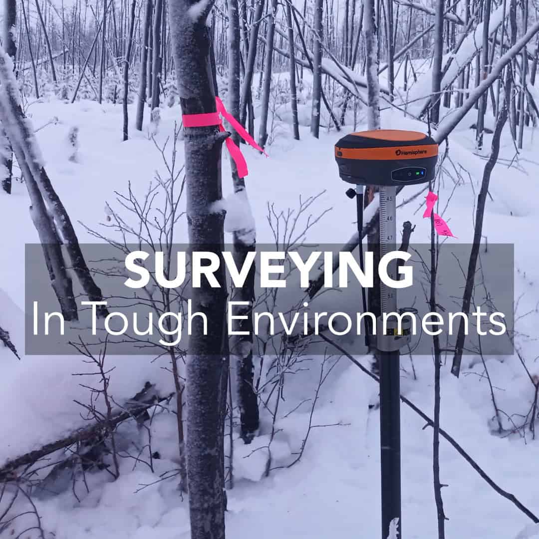
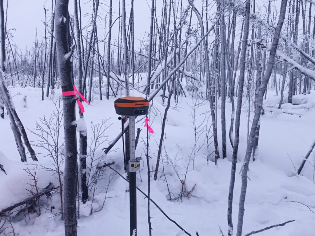
Dense foliage is one of the most common obstacles for Canadian land surveyors, especially in forestry, mining, and environmental projects. Thick tree canopies weaken GNSS signals, while multipath errors (caused by signals bouncing off branches and trunks) can distort positioning.
In heavily forested areas, consider hybrid workflows. Use RTK GNSS for open areas, and fall back on total stations for heavily canopied zones. This ensures consistent accuracy across your dataset.
In downtown cores like Toronto, Vancouver, or Calgary, high-rise buildings block or reflect GNSS signals. This “urban canyon” effect causes multipath errors, delays signal acquisition, and can degrade accuracy to unusable levels.
If you’re setting up a base station in an urban environment, prioritize rooftop or elevated locations with a clear sky view.
Much of Canada’s land development and resource exploration happens in remote areas: northern mining sites, pipeline routes, or rail corridors. These areas pose logistical hurdles: no reliable power, unstable terrain, and safety risks.
Mark your base station location clearly (even with a nail or flagging tape). If you return weeks later, you’ll save hours by re-establishing on the same point.
Surveyors here work in everything from -30°C winters in Saskatchewan to torrential rain on the West Coast. Cold drains batteries, snow cover obscures markers, and heavy rain or fog reduces satellite visibility.
In extreme cold, let your equipment acclimate gradually. Moving gear from a warm truck directly into -30°C can cause condensation and internal damage.
Bench-Mark professionals have seen which tools stand up to Canada’s toughest conditions:
Land surveying in Canada means working in less-than-ideal conditions. Thick forests, dense cities, rugged terrain, and extreme weather are all part of the job. The key to success isn’t avoiding these challenges but preparing for them. With the right mix of GNSS technology, hybrid workflows, and practical field habits, surveyors can achieve centimeter-level accuracy anywhere.
At Bench-Mark, we specialize in helping Canadian surveyors adapt their equipment and strategies to every environment. If you’re setting up over a snow-covered control point, battling multipath downtown, or working deep in the bush, the right tools and preparation will keep your data reliable.
Dense forest canopy and multipath in cities are two of the most common challenges. Both require advanced GNSS receivers and hybrid survey workflows.
Yes, but performance depends on your receiver. Multi-frequency GNSS receivers like the Hemisphere S631 can maintain fixes under a canopy better than single-frequency devices.
Use dual-frequency receivers, position strategically, and integrate total station data. Rooftop base setups can also help.
Save daily coordinates, carry extra batteries, and bring a total station as a fallback. Safety gear and emergency comms are just as critical.
Cold reduces battery life, rain and fog reduce satellite visibility, and snow can obscure markers. Always prepare with spare batteries, waterproof gear, and weather-specific workflows.
