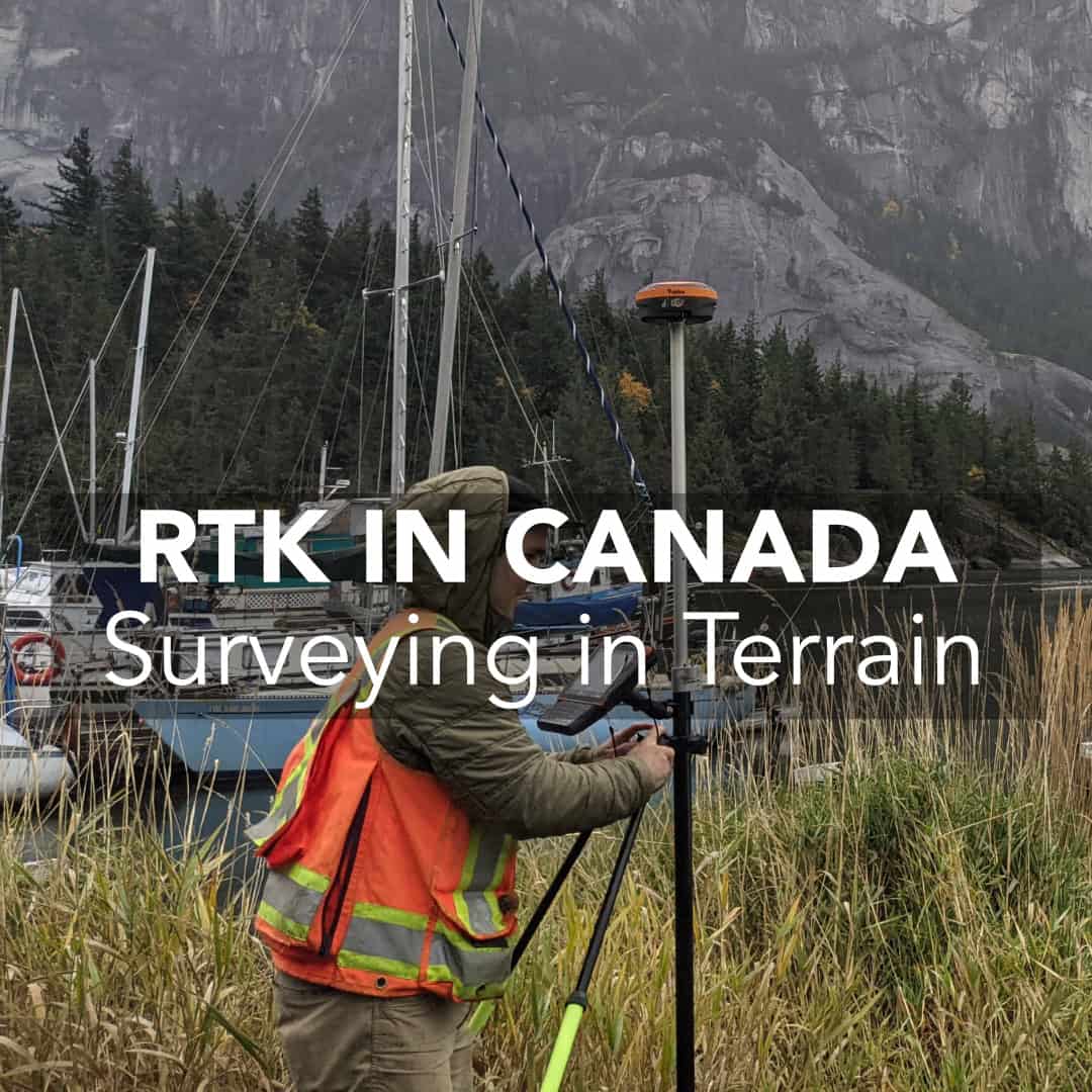
Surveying landscapes in Canada requires professional equipment that truly performs. The integrity of positioning data is important for land surveyors, civil engineers, and construction specialists. Now, the technology RTK GPS has become indispensable for accuracy.
Outdated gear or standard GPS can bring inefficiencies in the field, and ultimately, reduced profitability. We are going to clarify the principles behind RTK GPS and explain its role in navigating the complexities of Canadian terrain. Let’s find out why modernizing your systems should be a strategic imperative.
What is RTK GPS?
The Challenges of Surveying in Canadian Terrain
How Modern RTK GPS Overcome These Challenges
Why Upgrading to Modern RTK GPS Matters
Frequently Asked Questions
Real-Time Kinematic (RTK) positioning represents the improvement of GPS technology. It delivers real-time correction of satellite signals to achieve precision that is valuable to specialists. RTK systems do not operate within a margin of several meters like conventional GPS receivers. They use a network of base stations that continuously transmit correction data to rovers in the field.
For professionals working on the ground, it minimizes the need for costly data reprocessing because point measurements are consistently dependable.
Canada’s vast geography includes some of the most demanding terrain for surveyors:
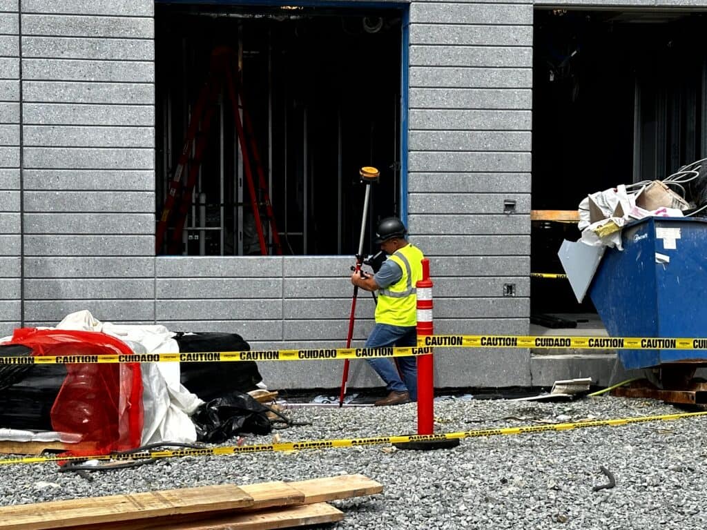
Legacy GPS and older RTK equipment often struggle in these conditions. This leads to unreliable fixes, longer field times, and increased costs. Surveyors need equipment built to handle these realities. This is where modern RTK GPS comes in the way.
The latest generation of RTK GPS incorporates advanced technology designed specifically to thrive in difficult environments:
Modern RTK receivers track multiple satellite constellations simultaneously. It includes GPS, GLONASS, Galileo, and BeiDou across multiple frequencies. This means more satellites, more signals, and stronger data integrity (even under canopy or in urban corridors).
New RTK units feature built-in inertial measurement units (IMUs) that allow you to capture points accurately. You also don’t need to level the pole perfectly. This can nearly double field productivity because it saves time on setup and reduces operator fatigue.
Advanced software algorithms filter out noise and multipath errors. They provide reliable fixed solutions where older gear would lose connection or deliver inaccurate data.
Owing to better satellite tracking and processing power, modern RTK GPS establishes high-precision position quickly. This lets you get to work faster with less downtime. At Bench Mark, our flagship product, the Hemisphere S631, is an excellent example of this technology in action.
Fieldwork can be twice as fast with newer RTK GPS technology. Fewer interruptions and tilt compensation work with full performance for large-scale projects like subdivisions, commercial sites, or infrastructure.
Modern systems auto-connect and auto-calibrate, reducing the time spent fiddling with equipment. With newer RTK GPS, you don’t need to wait for signals or reboot gear. Instead, you can focus on surveying.
Accuracy and reliability help secure lucrative contracts and foster client trust. You are going to deliver superior results with efficiency and thus position your firm to rise above competitors in a marketplace.
Surveying technology can be expensive. To help with this, many manufacturers and dealers, including Bench Mark, offer trade-in programs and financing options. In this way, it’s easier to upgrade to modern RTK GPS. For a full list of available products, specifications, and advice for Canadian surveyors, visit our page on RTK GPS Systems & GNSS Receivers.
RTK GPS brings you accuracy because it applies real-time corrections to satellite data. It’s a useful capability for precise surveying. GPS in turn operates with some positional errors often measured in meters (instead of centimeters in RTK GPS).
Yes. Multi-constellation satellite tracking and error correction algorithms help modern RTK GPS units sustain reliable performance beneath tree canopy and within urban settings.
Many professionals observe tangible ROI within the first year. Increased productivity, reduced downtime, and fewer field errors lead to the first revenue.
Look for these features:
– tilt compensation
– multi-frequency and multi-constellation tracking
– comprehensive software integration
– supplier support
Explore detailed product information and expert guidance at our RTK GPS Systems & GNSS Receivers page. We gathered all the useful info for Canadian surveying professionals there.
