In the wide world of GPS surveying equipment, it is important to understand why this helpful technology exists. Before globalization swept the world, it made a lot of sense for surveyors and their equipment to exist. The world was largely untamed, and governments needed to know what was within their holdings.
So, in our interconnected and modern society, what are we using GPS surveying equipment for? Well, several different types of surveying, actually. Below, we look at the five most common types of surveying activities that we still do today.
When evaluating the best approach, it’s important to remember that each survey method supports a specific objective rather than competing for the top spot. The best option depends on factors like project scale, land conditions, and regulatory requirements. For example, a boundary survey is ideal for defining property lines. A topographic survey works well at mapping surface features. It proves that different methods solve different challenges within the broader types of land survey used today.
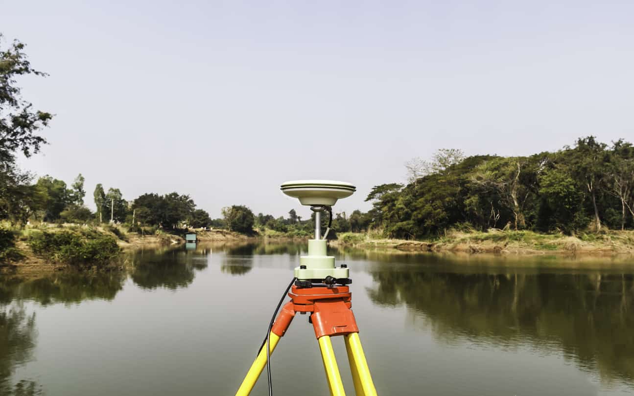
Modern RTK systems allow surveyors to work with speed and accuracy across all these types of land survey, meaning the most effective method is often the one that aligns with your project’s goals, timeline, and compliance needs.
Site Planning Survey
Site planning surveys are typically a combination of several elements in boundary and topographic surveys. They are very helpful in designing stores, community areas, houses, schools, commercial buildings, primary and secondary roads, and much more.
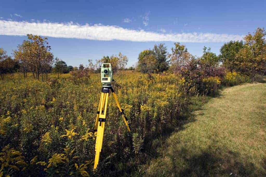
Topographic Survey
A topographic survey is used to determine the topographical features on a parcel of land. This might include hills, streams, elevation changes, contours, trees, fences and buildings. Typically, these surveys are made use of by local, provincial and federal government agencies when planning future development and property boundaries.
Subdivision Survey
The subdivision survey is used to divide a tract of land into lots, estates and commercial space. These surveys also play a crucial role in determining sewer, power and water line placement. Usually, these particular efforts are commissioned and used by the government, which tracks and records the information for later use.
Boundary Survey
When people think of modern surveying, the boundary survey is likely what they are thinking about. This survey locates the boundaries and corners of a particular lot or parcel of land. It requires researching both historical records and field research and is essential to future development efforts.
Construction Survey
Our final survey type, construction surveys, is useful for upgrades to existing structures. These types of surveying options help builders and developers understand how to follow the design and blueprint instructions. This is also where grading decisions may be made.
In reviewing the different types of land survey, a pattern has started to emerge; namely, that each of these surveys performs a different function. As a result, deciding which one of these is “best” can be fairly problematic.
Instead, it is best to consider the needs of your projects. Several of these types of land survey may be necessary before the completion of your job, so don’t let yourself get pigeon-holed into one particular type of survey. If you have any questions about the right equipment to use, as well as troubleshooting and product information, please contact us today. We look forward to hearing from you.
Whether doing construction or topographic surveys, it is essential to have the right equipment. Contact us today to see how we have the right solutions for all your surveying needs!
Bench Mark Equipment & Supplies is your team to trust with all your surveying equipment. We have been providing high-quality surveying equipment to land surveyors, engineers, construction, airborne and resource professionals since 2002. This helps establish ourselves as the go-to team in Calgary, Canada, and the USA. Plus, we provide a wide selection of equipment, including global navigation satellite systems, RTK GPS equipment, GNSS receivers, and more. We strive to provide the highest level of customer care and service for everyone. To speak to one of our team today, call us at 403-286-0333 or email us at [email protected]
