

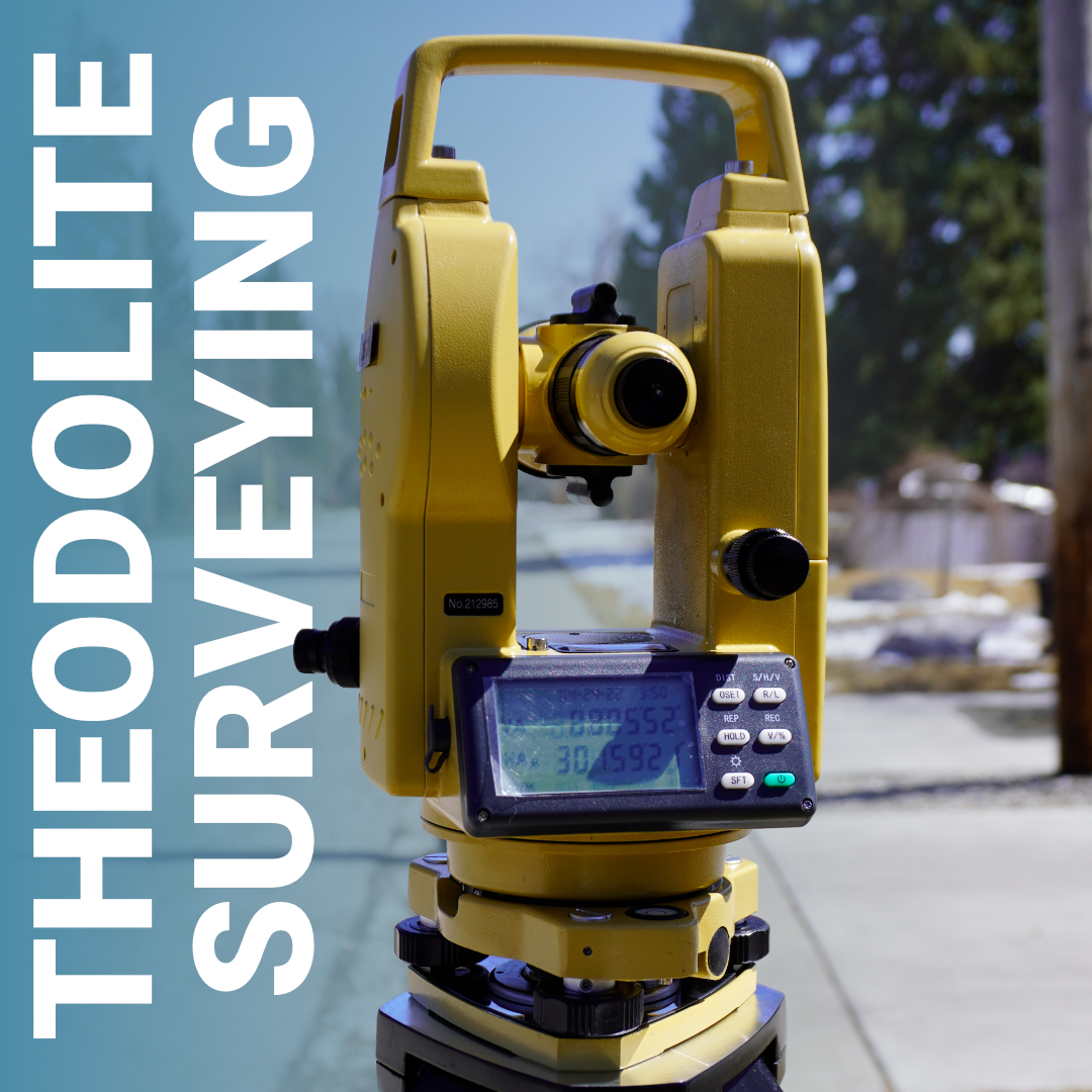
Before GPS existed, before total stations had onboard computers, and before RTK receivers could locate a point to the centimetre in seconds, the theodolite was the instrument that built Canada. Every railway corridor pushed through the Shield, every township grid surveyed across the Prairies, every urban subdivision laid out before the satellite era, it was done with a theodolite, a plumb bob, and a field book.
What a Theodolite Actually Does
Theodolites and Survey Transits: Understanding the Difference
Where Theodolite Surveying Still Has a Role
How a Theodolite Survey Is Set Up
What to Look for in a Digital Theodolite
The Instrument Behind the Industry
A theodolite is a precision optical instrument designed to measure horizontal and vertical angles. That’s its entire purpose, not distances, not coordinates, just angles. But angles, measured with enough precision and combined with known geometry, are how surveyors have defined space for centuries.
The instrument is mounted on a tripod over a known point and levelled using a built-in bubble level and three levelling screws. A telescope rotates on two axes, horizontal and vertical, allowing the operator to sight a target and read the angle from graduated circles. In a digital theodolite, those readings appear on an electronic display, eliminating the graduated circle interpolation that made older optical instruments both painstaking and prone to reading error.
The optical plummet, a small internal scope that looks straight down, allows the operator to centre the instrument precisely over a ground point. Getting that setup right is foundational. A poorly centred or poorly levelled theodolite undermines every angle measured from it, regardless of how capable the instrument itself is.
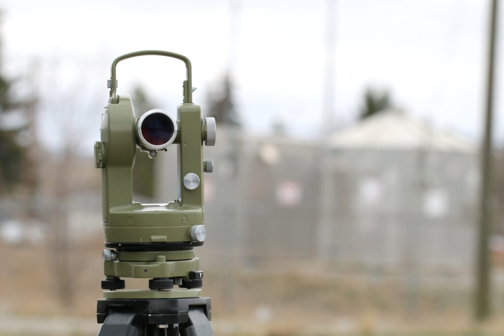
The terms are sometimes used interchangeably, which creates confusion. Theodolites and survey transits are related instruments that do similar things, but they’re not the same.
A transit is an older instrument that uses external graduated metal circles and vernier scales to read angles. The operator reads the angle by aligning a vernier index against the graduated arc, a process that requires careful attention and is more susceptible to reading error.
A theodolite uses enclosed graduated circles and reads angles through an internal magnifying optical system, or in modern digital versions, through an electronic sensor. The result is a more precise, more repeatable measurement with less operator-dependent error. Theodolites also offer the ability to instantly zero the horizontal circle to any reference direction and take readings in either direction without reconfiguring the instrument.
Both instruments measure angles in the same fundamental way, they just differ significantly in how accurately and conveniently they do it. For professional surveying, the digital theodolite replaced the transit decades ago, and no serious Canadian survey firm is running transits for production work today.
With RTK GNSS and total stations handling most production surveying in Canada, it’s a fair question: why discuss theodolites at all? The answer is that there are specific situations where a theodolite is not just adequate, it’s the right tool.
Structural and industrial alignment work. Setting column lines in a steel structure, plumbing a building corner, or aligning precast panels requires precise angular control along a fixed reference. A theodolite set on a known azimuth delivers that without the complexity of a full coordinate system. Construction crews working on vertical structure, bridges, towers, industrial facilities, routinely use theodolites for this kind of work.
Environments where GNSS doesn’t work. Underground surveying, tunnel alignment, dense urban canyons with severe multipath, and indoor structural work all limit or eliminate RTK GNSS as a viable option. A theodolite, used in a traverse or for direct angle measurement, remains functional wherever you can establish a line of sight.
Control verification and backsight checks. Even crews running RTK benefit from having angular control available for verification. A theodolite on a known point can confirm that a GNSS-derived azimuth is correct before you commit coordinates to a stakeout.
Training and fundamental understanding. Working with a theodolite teaches angle measurement, traverse geometry, and error propagation in a way that pressing “survey” on a data collector doesn’t. Surveyors who understand what a total station is computing, because they’ve done it manually, diagnose problems faster and make better decisions in the field.
The setup procedure hasn’t changed much between optical and digital instruments. It’s disciplined, sequential work where shortcuts create compounding error:
Reading angles in both face-left and face-right positions, called direct and reverse, doubles the observation and averages out systematic errors in the vertical axis and circle graduation. For control-quality work, this is standard practice, not optional.
If your operation calls for a theodolite, the specifications that matter most in Canadian field conditions are:
Theodolite surveying is how Canada’s land was systematically measured, subdivided, and made usable, for agriculture, for infrastructure, for every legal boundary the country runs on. The instrument is older than GPS by more than a century, and it will still be measuring angles on job sites long after the current generation of RTK systems is obsolete, because some problems are fundamentally angular problems, and a theodolite solves them cleanly.
At Bench-Mark, we carry instruments suited to professional Canadian survey and construction work, from total stations that extend the theodolite’s capabilities with onboard distance measurement to field software that ties it all together. If you’re evaluating what your operation needs, our team can help you match the right tool to the actual work.
