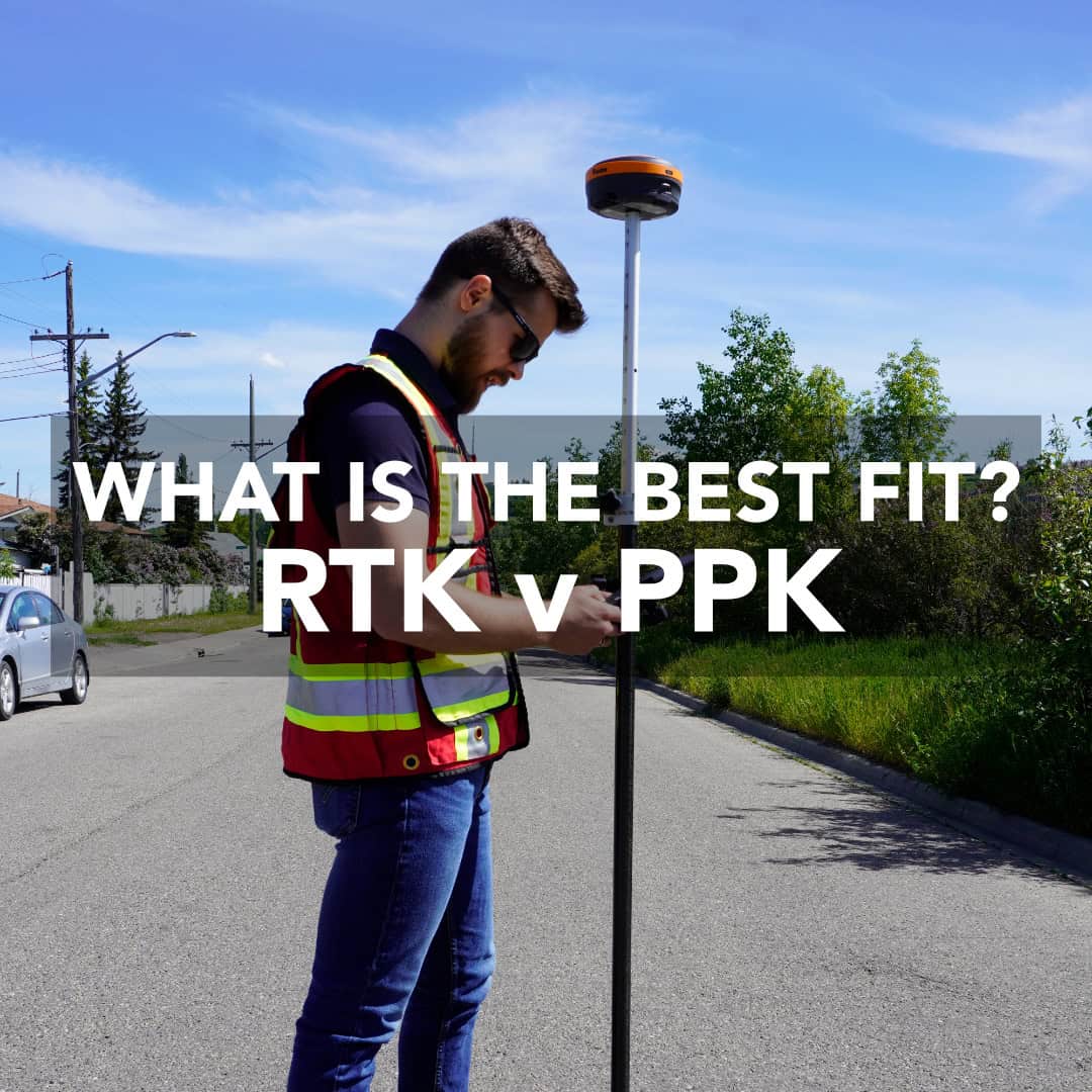
When it comes to collecting precise GNSS data, every surveyor has one key question: should I use RTK or PPK? Both Real-Time Kinematic (RTK) and Post-Processed Kinematic (PPK) positioning can deliver centimetre-level accuracy, but they get there in very different ways. Here’s how to decide which technology best fits your workflow, and where each one shines.
RTK vs PPK in Plain Terms
How RTK Works
How PPK Works
RTK and PPK: Key Differences at a Glance
Real-World Example: When RTK Shines
Real-World Example: When PPK Wins
Can You Combine RTK and PPK?
RTK vs PPK: Pros and Cons
Which One Fits Your Workflow?
Choose Smart, Work Confidently
FAQs
Both RTK and PPK use two GNSS receivers: a base and a rover. The base sits on a known point and records its satellite data. The rover moves around collecting measurements. The difference comes down to when those corrections happen.
Both methods can deliver the same end accuracy, but their workflows and stress levels differ significantly.
Think of RTK as the “real-time” version of precision GNSS. Your base receiver is set up over a known coordinate. It continuously calculates its position and transmits live correction data via radio, internet, or NTRIP network. Your rover receives those corrections and adjusts its coordinates in real time. If everything stays connected, you get instant, centimetre-level accuracy on every shot. Surveyors love RTK for:
However, RTK depends heavily on stable communication between the base and the rover. Lose signal due to distance or interference, and you’ll lose your solution until the link is restored.
PPK does it vice versa. Instead of relying on a constant live connection, it records everything for later. The base and rover log their raw GNSS data throughout the job. Then, you import those logs into post-processing software to correct any satellite errors. Because no live link is needed, PPK gives you more freedom:
You won’t see corrected coordinates until after processing. That means a delay before you can verify your data and slightly more office work after the field day.
RTK and PPK differ in how and when corrections are applied. RTK delivers corrections instantly during the survey, so you can see accurate coordinates as you go. PPK takes a slower but more flexible route. All corrections are applied afterward, once data has been collected.
The contrast lies in the workflow. RTK requires a continuous link to maintain precision throughout the operation. PPK works independently in the field and doesn’t need a live connection at all.
In terms of range, RTK systems usually operate within 10 to 60 kilometres, depending on the base setup and local conditions. PPK can stretch this distance up to 100 kilometres. RTK is best suited for construction, stakeout, topographic, and boundary surveys where on-the-spot accuracy is crucial. PPK works well in drone mapping, remote site measurements, and as a backup correction method when communication links are unreliable.
In short, RTK’s strength is its immediacy. You get verified accuracy right away. PPK’s advantage lies in its independence, delivering equally precise results without relying on a stable signal. RTK saves time in processing but demands a steady connection, whereas PPK takes longer to process but guarantees results when the signal drops.
Imagine you’re laying out utilities on a large subdivision site with several crews waiting for coordinates. You can’t afford uncertainty in your data. With RTK, you receive corrected coordinates the moment each shot is taken. If something looks off, you can immediately identify and correct it without pausing the workflow or waiting to process the data back at the office.
Now picture a drone mapping mission over the area where cell coverage drops in and out. There’s no dependable connection for real-time correction, and losing that link could compromise your dataset. Instead of depending on live communication, PPK records both the base and rover or drone logs throughout the mission. Once the flight is done, you process that data afterward and apply precise corrections that bring the final coordinates to accuracy.
Even if the signal disappeared halfway through the flight, PPK makes your dataset remain complete and precise. Many surveyors rely on it as a safety net, running both RTK and PPK together so that if a dropout occurs during RTK work, PPK can recover the missing data. This approach adds a layer of reliability without compromising accuracy or workflow efficiency.
Absolutely. In many cases, that’s the smartest strategy. Combining RTK and PPK gives you the best of both of them: precision when your connection is strong and dependable post-processing accuracy when it isn’t.
This hybrid workflow is especially useful for drone operators who frequently move in and out of coverage zones, survey crews who alternate between urban and rural environments, and engineering projects where even minor data gaps are unacceptable.
RTK stands out for its immediacy. It delivers accuracy and verification the moment a point is collected. Thus, it reduces the time spent processing data in the office. This makes it ideal for construction staking, grading, or any fast-paced fieldwork where real-time decisions are critical.
A stable signal between the base and rover is essential, and its effective range typically caps at around 50 to 60 kilometres. When the connection drops, so does your ability to capture corrected data. Thus, signal reliability is its main vulnerability.
PPK, in contrast, offers total freedom from connectivity constraints. It can be used anywhere, handles longer baselines with ease, and performs well on remote or aerial surveys. It also serves as a backup for RTK operations, so that your work remains intact when live communication fails.
You won’t see immediate results in the field, as PPK requires time for post-processing. Proper data management is also crucial because mismatched timestamps or incorrect logging can introduce errors if not handled carefully.
The best method depends entirely on how and where you work. If your projects rely on real-time verification, for example, staking boundaries, grading, or construction layout, RTK is your best match. It’s fast and field-ready. On the other hand, if you operate in remote environments, conduct drone mapping, or need a solid backup for redundancy, PPK should be part of your toolkit.
Most modern survey teams don’t choose one over the other, but use both. RTK handles live accuracy in the field. PPK secures data integrity after the fact. The smartest approach is to match your correction method to the environment rather than forcing one system to fit every condition.
Both RTK and PPK deliver professional accuracy. RTK gives you instant results. PPK gives you freedom and reliability. The best surveyors know when to use each and how to combine them when it matters. Bench-Mark supports both workflows with expert advice, hardware configuration, and training so you can get the most from your GNSS system, no matter the conditions.
If you’re ready to fine-tune your workflow or upgrade your gear, explore our RTK systems or contact our team to build a solution that fits your field.
RTK means Real-Time Kinematic, a GNSS correction method that applies positional corrections instantly during data collection.
PPK means Post-Processed Kinematic, where corrections are applied later using recorded base and rover data.
Accuracy is similar. The difference lies in workflow: RTK is faster; PPK is more flexible in difficult signal conditions.
Yes. Many modern GNSS receivers support both modes. You can even log PPK data while working in RTK mode.
