Description
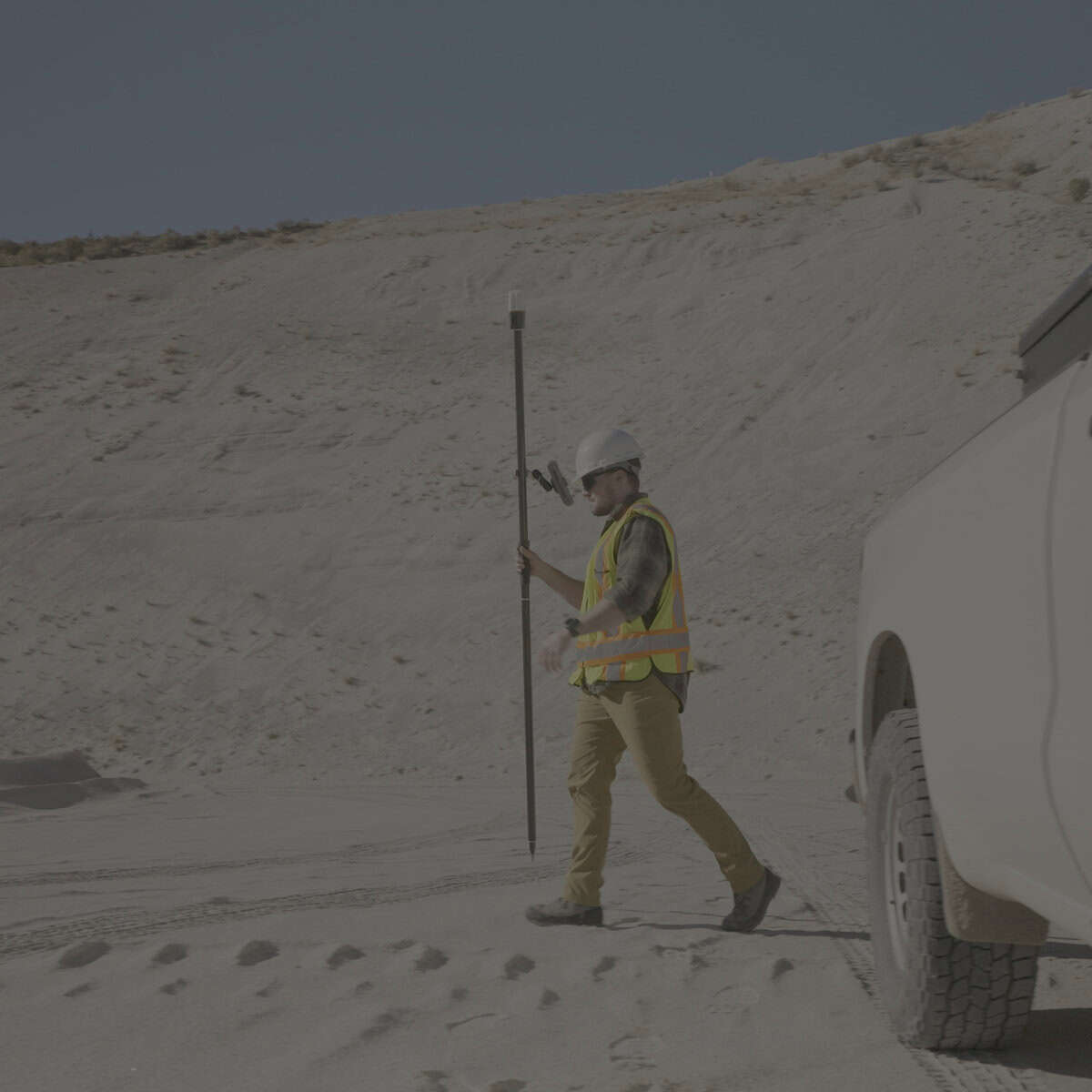
Spire™ simplifies field data capture for GIS and asset mapping with a light, compact design and corrections-ready performance right out of the box. From remote terrain to dense urban areas, it adapts to your accuracy needs—supporting SBAS and Network RTK (with future correction services planned)—so you can collect meter-to-centimeter data quickly and confidently, all day long.
-
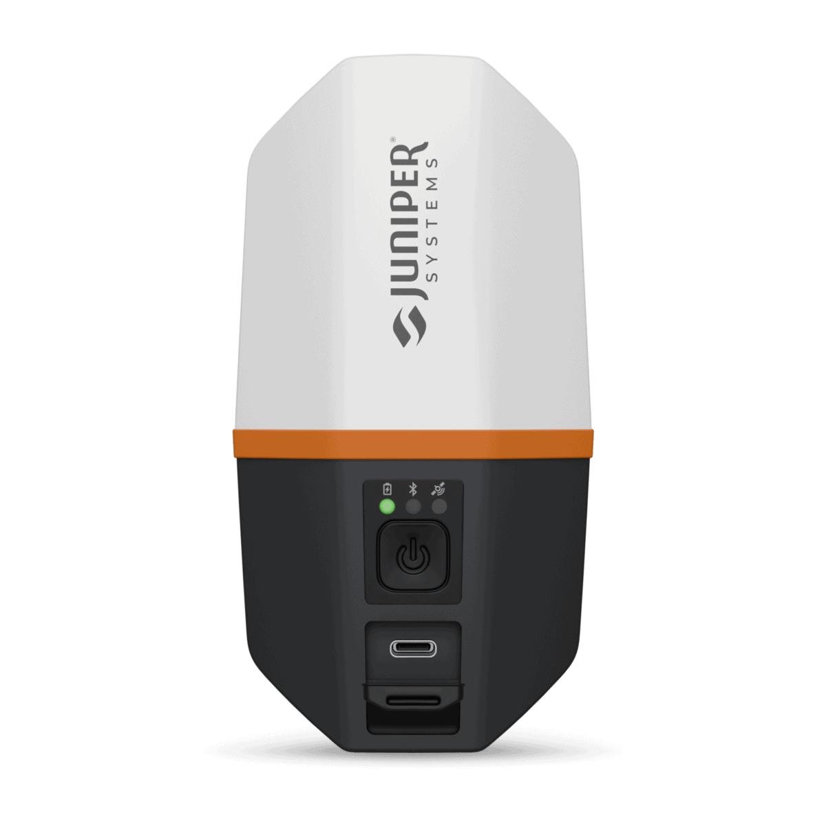
Location, simplified: one-button operation—no external antennas or cables
-
Corrections-ready: SBAS + Network RTK support
-
Built for the field: IP68 + MIL-STD-810H rugged durability
-
All-day productivity: 16+ hours runtime and fast satellite acquisition
-
Open + flexible: works with mobile devices and data collection apps


Reviews
There are no reviews yet.