Description
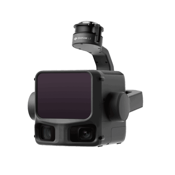
DJI Terra turns drone data into survey-grade deliverables fast. Whether you’re mapping a subdivision, validating earthworks, or documenting as-builts, Terra streamlines the entire workflow from flight planning to final models. Photogrammetry delivers crisp orthos, DSMs/DTMs, and accurate point clouds, while next-gen Gaussian Splatting produces photo-real 3D that preserves fine structures, glass, and vegetation—ideal for complex job sites. Pair DJI Terra with DJI Enterprise platforms (Matrice 4E/400, Zenmuse P1/L2) for a tightly integrated capture-to-CAD pipeline.
Built for production crews, DJI Terra handles small progress checks right on site and scales to city-block reconstructions back at the office. LiDAR + RGB fusion rounds out detail where imagery struggles, and built-in RTK/PPK removes dependence on network coverage. When you’re ready for polish, hand off with one click to DJI Modify for mesh and point-cloud cleanup, terrain extraction, and easy export to CAD/GIS.
Key features
-
End-to-end workflow with DJI Enterprise drones, P1 (photogrammetry) and L2 (LiDAR)
-
Gaussian Splatting for photoreal 3D and distortion-free orthomosaics
-
High-accuracy mapping (meets common 1:500 workflows with DJI RTK capture)
-
2D/3D outputs: orthomosaics, DSM/DTM, point clouds, textured meshes
-
LiDAR processing with RTK/PPK for survey-grade results without GCPs
-
Cluster reconstruction for large projects and tight deadlines
-
Multispectral processing (NDVI/NDRE) and prescription maps for ag sites
-
One-click handoff to DJI Modify for model repair and terrain results
-
Broad export formats (PLY, B3DM/3D Tiles, LAS/LAZ, OBJ, TIFF) for CAD/GIS
-
Practical hardware requirements; scales from field laptop to high-end workstations


Reviews
There are no reviews yet.