Before a single stake goes in the ground on a Canadian land development project, dozens of decisions have already been made, about zoning, servicing, environmental constraints, access, and boundaries. For most of surveying history, assembling all that information meant collecting paper maps from different agencies, reconciling conflicting data by hand, and hoping nothing critical was missed.
Today, GIS surveying has fundamentally changed that process. A Geographic Information System doesn’t just store spatial data, it connects it, layers it, and makes it queryable in ways that reveal problems before they become expensive and opportunities before they get missed. For Canadian surveyors, engineers, and land managers working across varied and often demanding terrain, GIS has moved from a niche capability to a core part of how serious survey work gets done.
What GIS Surveying Actually Means in Practice
How GIS Systems Support Land Management Decisions
RTK GNSS and the Field Side of GIS Survey Work
GIS Surveying in Specific Canadian Land Management Contexts
Getting the Integration Right

GIS, or Geographic Information Systems, refers to the digital framework used to capture, store, analyze, and visualize spatial data. In a surveying context, that means taking the coordinates, boundaries, elevations, and field observations collected during a survey and integrating them with other data layers, zoning designations, utility infrastructure, environmental features, property records, topography, into a single, queryable spatial environment.
The distinction between a GIS survey and a traditional survey is about what happens to the data afterward and what can be done with it. A conventional survey produces a plan or a set of coordinates. A GIS-integrated survey produces a living dataset that can be cross-referenced against regulatory layers, shared with engineering teams, queried for conflicts, and updated as project conditions change.
In Canada, this matters because land management involves overlapping federal, provincial, and municipal regulatory layers that don’t always speak the same language. Crown land tenure boundaries, municipal zoning, First Nations consultation areas, riparian setback requirements, and provincial environmental designations all exist in different formats maintained by different agencies. GIS systems are what allow a surveyor or land manager to bring all of that into one coherent picture.
The most immediate value GIS delivers in land management is the ability to overlay multiple datasets and see where they agree, conflict, or create constraints. This is where GIS moves from a data management tool to an analytical one.
Consider a typical land development scenario in Canada, a proposed subdivision on the edge of a mid-sized municipality. The project team needs to understand:
Assembling that information from separate sources and trying to reconcile it manually is slow, error-prone, and produces a static snapshot that goes stale as soon as any one layer is updated. In a GIS environment, those layers exist simultaneously. A planner can query which areas of the site fall outside flood plain boundaries, within the permitted zoning, and within 200 metres of existing sewer infrastructure, and get an answer in seconds rather than days.
For surveyors specifically, GIS integration changes the nature of the deliverable. A georeferenced survey dataset can be submitted directly into a municipal or provincial GIS system, where it becomes part of a continuously updated spatial record rather than a document that sits in a filing cabinet until someone needs to re-digitize it.
The quality of any GIS analysis depends entirely on the accuracy of the underlying spatial data. Garbage in, garbage out, and in land management decisions that carry regulatory and financial consequences, inaccurate field data produces outcomes that are genuinely dangerous.
This is where the field instrumentation side of GIS surveying matters as much as the software side. Points, boundaries, and features captured in the field need to meet the accuracy standards that make them useful for GIS overlay analysis. A property boundary captured to sub-centimetre accuracy integrates cleanly with a GIS layer. A boundary captured with a consumer-grade GPS unit at metre-level accuracy creates a dataset that looks precise on screen but fails when it needs to align with adjacent survey control or regulatory designations.
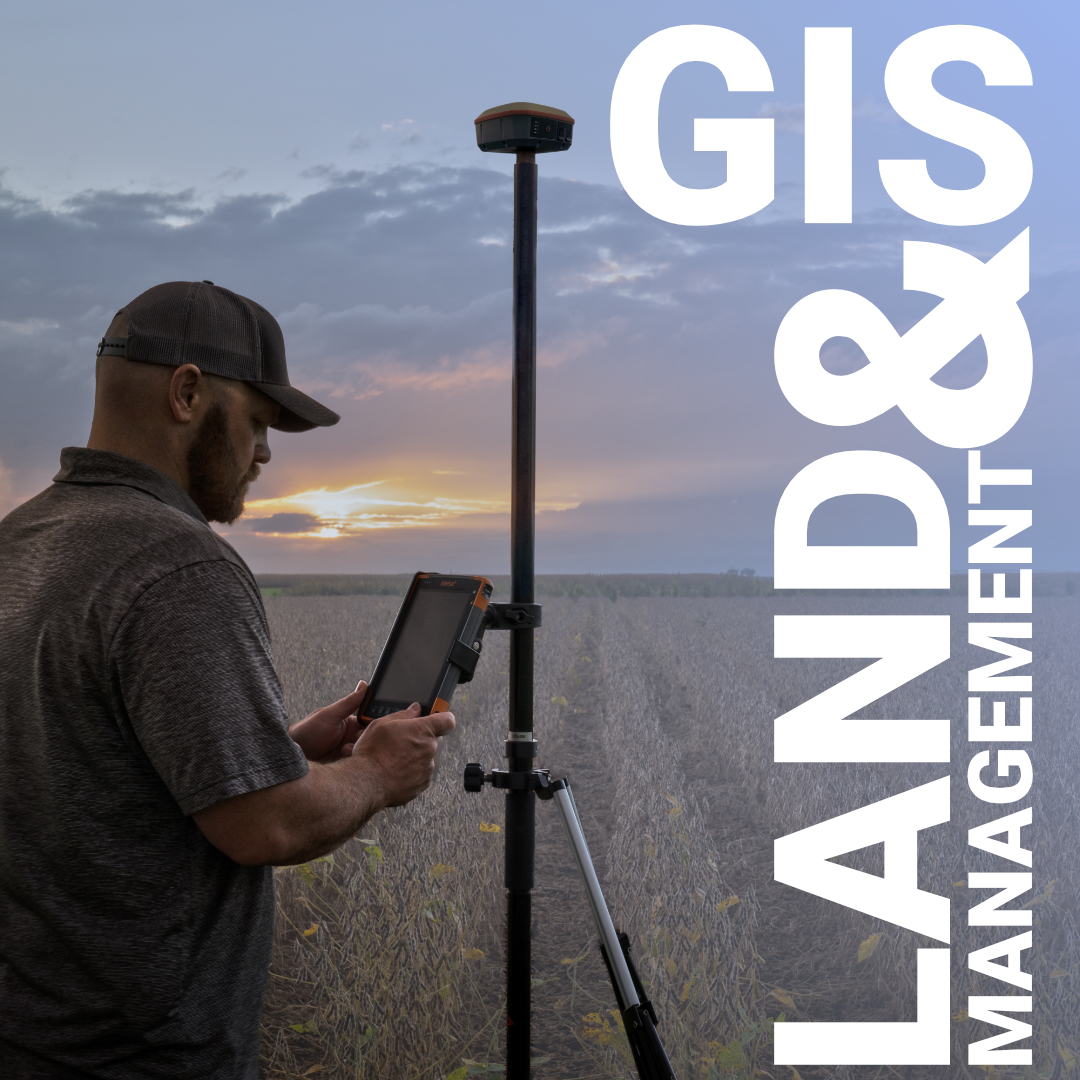
For Canadian surveyors doing GIS-integrated fieldwork, RTK GNSS remains the primary tool for capturing accurate spatial data efficiently across large areas. A well-configured RTK system, tracking GPS, GLONASS, Galileo, and BeiDou simultaneously, delivers the satellite geometry and signal redundancy needed to maintain fix quality in the varied environments that Canadian projects present, from open prairie to partially treed terrain to urban corridors with signal interference.
The field data collection workflow matters too. Survey software like FieldGenius allows field crews to capture observations with attribute codes that carry through directly into GIS workflows, eliminating the manual re-entry and translation steps that historically introduced errors between field notes and GIS databases. When a surveyor codes a feature in the field, it arrives in the GIS with its geometry, its attributes, and its relationship to the surrounding data already intact.
The applications of GIS survey work in Canada span industries and project types, but a few are worth looking at in detail because they illustrate how the tool adapts to very different demands.
Infrastructure and utilities. Road, pipeline, and utility corridor projects in Canada involve linear distances that make manual data management genuinely impractical. GIS systems allow corridor planners to evaluate multiple alignment alternatives simultaneously, overlaying environmental constraints, land ownership, topography, and existing infrastructure to identify the routing that minimizes cost, acquisition, and regulatory exposure before any design dollars are spent.
Resource industries. Mining, forestry, and energy projects on Crown land in Canada operate within complex tenure systems that benefit enormously from GIS integration. Knowing precisely where a mineral claim boundary falls relative to a watercourse setback or an existing right-of-way isn’t a paperwork exercise, it determines whether work can proceed and under what conditions.
Municipal land development. Subdivision design in Canadian municipalities requires integrating survey-accurate boundary and topographic data with zoning, servicing, and environmental overlay layers. GIS allows designers to check compliance against multiple regulatory requirements simultaneously rather than sequentially, catching conflicts earlier in the design process when they’re still cheap to resolve.
Environmental monitoring. Long-term environmental projects, monitoring shoreline change, tracking reclamation progress on a mine site, documenting vegetation recovery in a restored area, benefit from GIS’s ability to maintain spatial data over time and make it comparable across seasons and years. Survey data captured today can be directly compared against data captured five years ago because both datasets reference the same spatial framework.
The value of GIS surveying doesn’t come from the technology alone, it comes from how well the field data, the software, and the analytical workflow are connected. Several things determine whether that integration actually delivers on its potential.
Coordinate system consistency is foundational. Canadian projects reference NAD83 in UTM or provincial coordinate systems, and datasets that haven’t been properly transformed to a common projection create alignment errors that undermine every analysis built on top of them. This sounds basic, but it is one of the most common sources of problems in GIS workflows that combine data from multiple sources.
Data documentation, metadata, determines whether spatial data remains useful over time. A survey dataset with no record of when it was captured, by what method, to what accuracy standard, or what datum it references is of questionable value the moment the person who collected it leaves the project. Good field practice includes the documentation that makes data reusable.
Finally, the field-to-office workflow needs to close without manual gaps. Data that has to be re-entered, re-coded, or reformatted between field collection and GIS import introduces both errors and delays that defeat the efficiency benefits of GIS integration in the first place.
At Bench-Mark, we supply the RTK GNSS equipment and field software that feeds accurate, well-structured data into GIS workflows. If you’re thinking about how to tighten the connection between your field work and your GIS deliverables, talk to our team. The accuracy that matters in the field is the same accuracy that makes your GIS analysis worth trusting.
