
Magnetic Locators vs. Metal Detectors: Which Is Best for Your Next Survey?
Choosing between a magnetic locator and a metal detector can cost you precision, efficiency, and knowing which tool will perform best for your work. Both
Choosing between a magnetic locator and a metal detector can cost you precision, efficiency, and knowing which tool will perform best for your work. Both

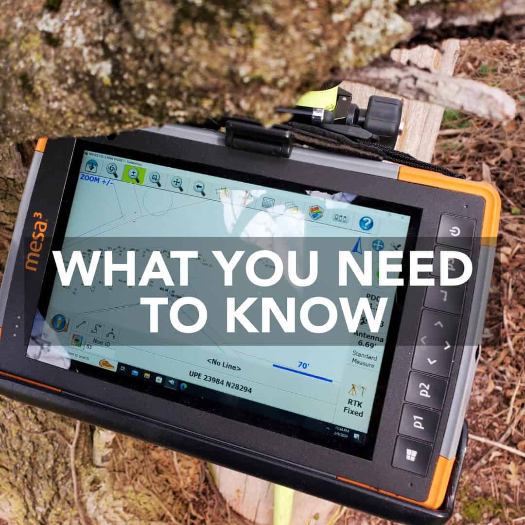
When you’re surveying in the middle of nowhere, staying connected to an RTK network can be a challenge. But what happens when there’s no internet
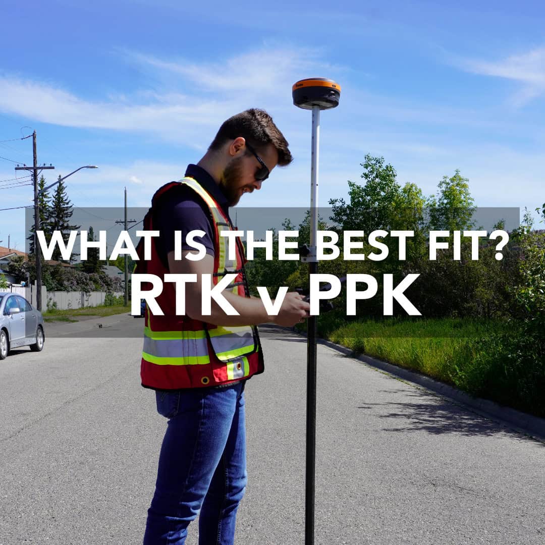
When it comes to collecting precise GNSS data, every surveyor has one key question: should I use RTK vs PPK? Both Real-Time Kinematic (RTK) and
Surveying is a profession that includes tradition and technology. The craft of measuring land has existed for centuries, but the way professionals practice it today

Surveying has come a long way from chains, compasses, and paper field notes. Today’s professionals rely on advanced instruments that deliver centimeter-level accuracy in real

I have a customer who just started surveying with LiDAR on a DJI Matrice M400 drone. They had a couple of great questions, and while
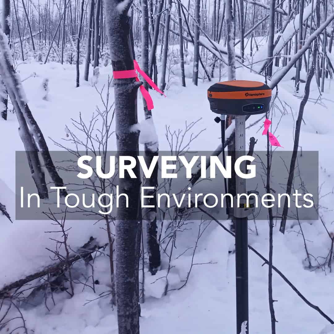
Land surveying is rarely done in ideal conditions. In Canada, surveyors and engineers face unique obstacles like thick boreal forests, rugged terrain, sprawling urban developments,
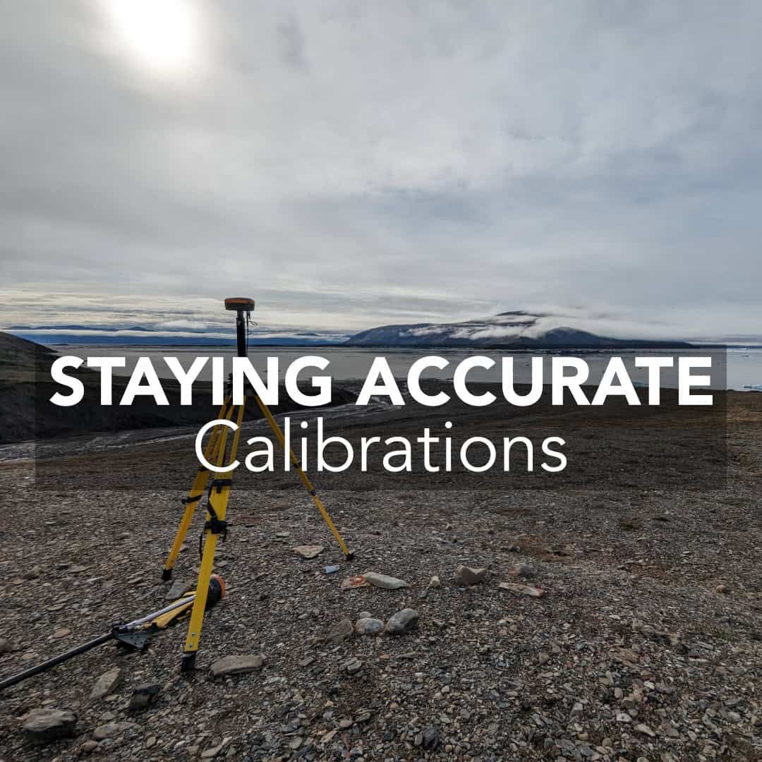
Working in surveying requires strict accuracy. A few millimeters off on a control point may not seem like much in the field, but when it’s

In land development, efficiency is just as important as precision. Traditional survey methods like total stations, GNSS RTK systems, and photogrammetry are accurate, but often