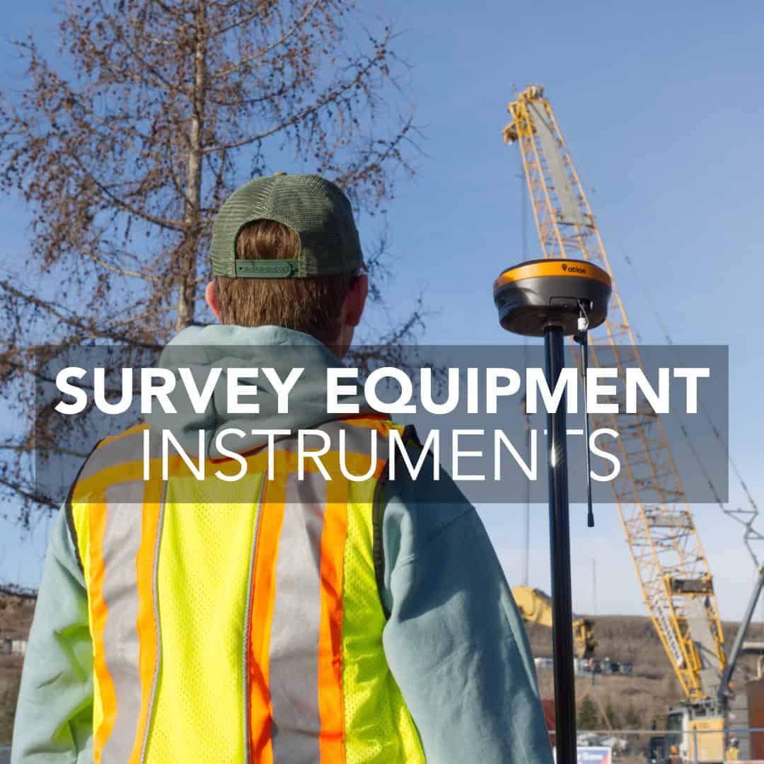
Every surveyor has been stuck in the field with the wrong tool. Maybe you’re under a heavy canopy and your RTK rover won’t hold a fix. Or you’re laying out a building and realize your total station battery died three setups ago. Or the engineer calls asking why your topo surface has a two-foot spike where the GNSS decided a parked truck was actually terrain.
The survey method you choose shapes everything downstream: how long you spend in the field, whether your data makes sense when the engineer opens it, and whether you’re driving back tomorrow to fill gaps. This guide covers the methods that matter for Canadian surveyors (GNSS, total stations, levels, LiDAR, and UAVs) and when each one actually works instead of just theoretically working.
GNSS and RTK: Fast Positioning When You Have Sky
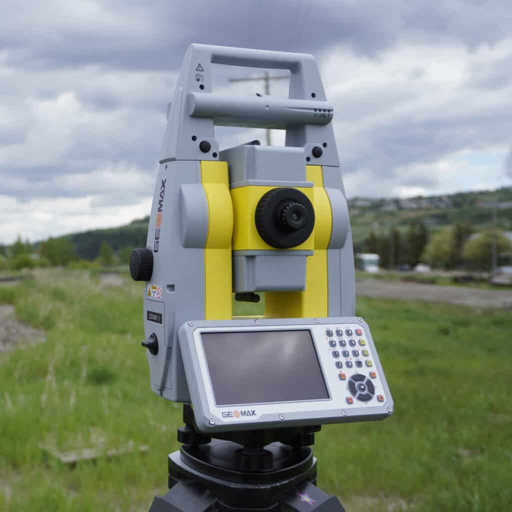
Total Stations: Precision When Satellites Aren’t Enough
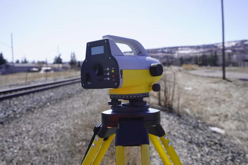
Digital Levels: Vertical Accuracy When Millimeters Matter
LiDAR: Millions of Points for Complex Environments
UAV Photogrammetry: Aerial Coverage Without the Expense
Matching Survey Methods to Site Conditions
GNSS receivers pull coordinates directly from satellites. No backsights, no traverse, no building control from known monuments. You turn on the rover, wait for initialization, and start collecting points. For open sites with clear sky view, nothing moves faster.
RTK (Real-Time Kinematic) takes that baseline GNSS positioning and refines it using corrections from a stationary base station. The base calculates errors in real time and radios those corrections to your rover. The result is centimeter-level accuracy: typically 8-10 mm horizontal and 15 mm vertical. For boundary surveys, site grading, and topographic mapping, that’s more than enough precision.
The real advantage here is speed. Once your base is running, you’re collecting points as fast as you can walk the site. Road corridors, agricultural parcels, and greenfield developments are the environments where RTK dominates. You cover ground in hours that would take days with optical instruments.
The limitation is satellite visibility. Urban cores with tall buildings, heavy canopy, steep valleys, or industrial sites surrounded by metal structures all block or reflect satellite signals. When that happens, your receiver either loses the fix entirely or bounces between positions. That’s when you need a backup plan.
Total stations measure angles and distances using an EDM (Electronic Distance Measurement) system. Point the instrument at a prism or reflectorless target, press measure, and you get horizontal angle, vertical angle, and slope distance. From those three measurements, the total station calculates exact coordinates relative to your setup position.
Dense tree cover, narrow streets, building interiors, areas under bridges – if you can see your target, you can measure it. Modern reflectorless systems extend that capability to 500 meters or more, which means you can shoot building faces, utility poles, and catch basins without setting a prism.
For construction layout, total stations remain the standard. Setting out building corners, offset lines, or grade stakes requires the ability to turn exact angles and measure precise distances. You’re not just locating features; you’re setting points that contractors will build to. That demands control, and total stations deliver it.
Robotic total stations take this further by tracking a prism-equipped pole automatically. One person can run the entire operation: set the instrument, walk the site with the pole, and collect data while the total station follows. For smaller crews or one-person operations, that efficiency matters.
However, setting up a total station takes longer than dropping an RTK base and rover. You need to occupy a known point or establish control through resection. You’re also limited by line of sight. If you can’t see the target, you can’t measure it. For large open sites, GNSS will almost always be faster. But when the job demands layout precision or when satellite signals fail, the total station is what gets you through the day.
Digital levels exist for one purpose: measuring elevation differences with extreme precision. They read a barcode on an invar rod and calculate height differences accurate to fractions of a millimeter. For projects where vertical control is critical a digital level is the most reliable tool available.
The process is straightforward. Set the level between two points, sight the rod on your known elevation, turn and sight the rod on your unknown point. The difference in readings gives you the elevation change. For longer distances, you leapfrog setups across the site, building a level network as you go.
Digital levels are slower than RTK for general topographic work. But when vertical accuracy is specified tight (say, within 2-3 mm) nothing else matches their reliability. Many surveyors run RTK for horizontal positioning and field elevations, then verify critical points with a digital level before final layout or as-built certification.
LiDAR uses rapid laser pulses to measure distances and build dense 3D point clouds. Terrestrial scanners sit on a tripod and capture everything in view: buildings, terrain, vegetation, utilities, structures. Mobile LiDAR systems mount the scanner on a vehicle or backpack and collect data while moving through the site.
The strength of LiDAR is density. A traditional survey might collect a few hundred elevation points across a site. LiDAR captures millions. That level of detail becomes valuable when you need a complete as-built model rather than selective feature collection: industrial facilities, heritage buildings, highway corridors, complex terrain.
LiDAR also works in environments where conventional surveying struggles. The scanner doesn’t care about terrain difficulty. It captures the entire environment and lets you filter, classify, and process the data in the office.
LiDAR equipment is expensive. Turning raw point clouds into usable CAD models or surfaces requires specialized software, training, and hours of post-processing work. For smaller projects, the overhead doesn’t justify the investment. But for large linear infrastructure, monitoring applications, or detailed as-built documentation, LiDAR pays for itself in reduced field time and increased data completeness.
UAV photogrammetry captures overlapping aerial photos and stitches them into orthomosaics and 3D surface models. Modern drones equipped with RTK or PPK positioning can achieve horizontal accuracy under 30 mm and vertical accuracy around 50 mm when flown with proper ground control.
For topographic surveys across large open areas, UAVs are hard to beat on efficiency. A site that would take days to walk with an RTK rover can be flown in an hour. The resulting orthoimage provides a complete visual record of site conditions. It’s useful for design review, quantity calculations, progress documentation, and client deliverables.
UAVs also access areas that are difficult or dangerous to survey on foot: steep slopes, active construction zones, tailings ponds, unstable embankments. You collect the data without putting crew at risk.
For forested sites or areas with dense undergrowth, traditional ground surveys or LiDAR will give more accurate terrain representation.
The right choice depends on what you’re measuring, where you’re working, and what accuracy your client actually needs. Here’s how to think through the decision:
Most surveyors don’t commit to a single method. They keep multiple tools ready and switch based on what the site throws at them. RTK handles the bulk of the work, a total station covers problem areas, a level verifies critical elevations. That adaptability is what keeps projects moving when conditions aren’t ideal.
At Bench-Mark, we work with surveyors across Canada who adapt their methods to the work at hand every day. The crews that stay efficient are the ones who understand their tools and don’t force a single method to handle conditions it wasn’t designed for. If you’re evaluating equipment or trying to streamline your survey workflow, we can help you match the right methods and gear to the type of work you do most. Because the best survey method is the one that gets you accurate data without wasting time fighting your equipment.
