
The general public makes a fair amount of assumptions about what floats above us. For instance, the amount and type of satellites that orbit our planet. There is a widespread belief, especially in North America, that all satellites which provide position location are designated as the Global Positioning System, or GPS. However, that assumption could not be farther from the truth.
In actuality, there are several different systems, or constellations, of satellites. All of the major world powers, like the US, Russia, and China, have their own constellation. The term “GPS” only refers to the US system, whereas Russia has GLONASS, and China has BeiDou. In Europe, several countries worked together to create a satellite constellation named Galileo.
Now, for the term GNSS, which stands for Global Navigation Satellite System. Earlier, we made mention of the widespread belief that there was a single system for navigation and precision. That system is not GPS, but instead, the GNSS. GNSS is a collection of data from all of the constellations above, and it has a wide variety of applications throughout our daily lives.
The Uses of GNSS
GNSS receivers are the devices that people use to gather data from the GNSS. There are many different types of GNSS receivers. For instance, a waterproof receiver that divers use to locate underwater shipwrecks accurately. Or the various kinds for accurate global navigation present in air, water, and land vehicles. Similarly, long-distance cyclists use GNSS receivers to track their routes during tours and send location data back to their team.
At this point, you can probably imagine how many different uses the GNSS has, but there is an important distinction. The necessary difference is the level of accuracy. Typically, consumer and public GNSS receivers are very accurate, but they have to contend with the ionospheric delay. This delay damages the accuracy of the equipment, although a solution for this currently exists.
Indeed, the solution is the doubling of the carrier waves used to transmit the signal. Regular GNSS receivers have access to a single signal, designated L1. However, for more advanced uses, there is a second signal designated L2. By comparing the data from both signals, it is possible to remove the ionospheric delay’s inaccuracy.
Here, it is crucial to note that while it may sound like a small change to add a second signal to your GNSS receiver, it is a little more complicated. Overall, the difficulty and additional hardware necessary for this change make it untenable for most applications. Although there is at least one area where this level of accuracy is essential.
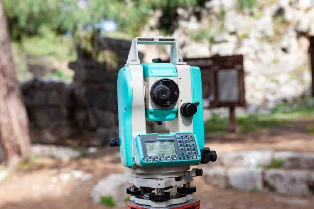
Of course, we are referring to surveying operations. Here, having accurate measurements, down to a millimetre in some cases, is essential. This level of accuracy allows for quicker surveys, which in turn allows for the timely completion of construction projects and pre-start activities.
Bench Mark Equipment & Supplies is your team to trust with all your surveying equipment. We have been providing high-quality surveying equipment to land surveyors, engineers, construction, airborne and resources professionals since 2002. This helps establish ourselves as the go-to team in Calgary, Canada, and the USA. Plus, we provide a wide selection of equipment, including global navigation satellite systems, RTK GPS equipment, GNSS receivers, and more. We strive to provide the highest level of customer care and service for everyone. To speak to one of our team today, call us on 403-286-0333 or email us [email protected]
