Surveying is a profession that includes tradition and technology. The craft of measuring land has existed for centuries, but the way professionals practice it today looks very different than it did even 20 years ago. Tools have advanced, software has changed, and accuracy expectations are higher. But surveying still comes down to mastering the right techniques.
In Canada, knowing which surveying approach to use can save time and money. At Bench-Mark, we’ve worked alongside surveyors across the country for over 15 years, and we’ve seen which methods stand the test of time and which ones cause trouble when misunderstood.
This guide explores the techniques every professional should have in their toolkit, including the essentials and the more specialized approaches gaining ground today.
The Power of RTK GNSS
Where Total Stations Still Rule
levelling
Newer Frontiers: Drones and Scanning
Bringing Techniques Together
Avoiding Common Mistakes
Mastery Comes with Practice
FAQ
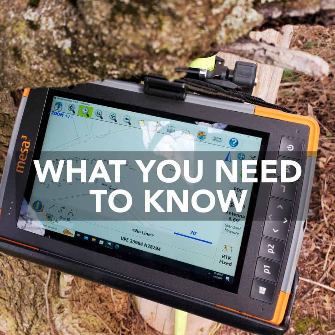
It’s hard to overstate just how much RTK (Real-Time Kinematic) GNSS surveying has reshaped the industry. For many surveyors, this is the first technique they reach for in the field. Using satellite signals corrected in real time, RTK GNSS gives centimeter-level accuracy across wide areas.
If you’ve ever laid out a subdivision or mapped topography with a Hemisphere S631 rover, you know the difference it makes. Jobs that once took a full day with a total station can now be done in a few hours. For Canadian surveyors working on large, open projects, RTK has become the backbone of everyday practice.
A poorly set base or confusion between local and geodetic coordinate systems can throw everything off. That’s why the technique is as much about discipline as it is about equipment. A well-placed base station, saved setups, and a rover running reliable software like FieldGenius are what separate clean datasets from messy, unusable ones.
RTK GNSS may dominate headlines, but any professional who has worked in dense forest, narrow urban corridors, or tunnels knows there are places satellites simply can’t reach. In those environments, the total station remains indispensable.
Unlike GNSS, total stations depend on line-of-sight measurements. That means more setup and more care in aiming, but it also means precision that doesn’t falter when you’re surrounded by steel or canopy cover. Surveyors turn to total stations when:
Even in a GNSS-heavy workflow, having a reliable instrument like the GeoMax Zoom95 in the truck ensures you’re never stalled by bad satellite geometry or signal loss.
Something is reassuring about pulling out a level. Whether it’s an auto level on a tripod or a laser level spinning on a job site, levelling is one of the simplest techniques in the profession. By the way, one of the most reliable as well.
Construction crews rely on levels to check grades, transfer elevations, and make sure drainage is flowing correctly. Roadwork and foundation setting still demand the kind of repeatable accuracy that a good level provides. Many crews will tell you: even with an RTK rover in hand, they trust a level for quick elevation checks because it’s fast, stable, and immune to satellite dropouts.
This is the technique that connects modern surveyors to their predecessors. While the tools have improved, the principle hasn’t changed for centuries: establish a plane, take readings, and calculate differences.
Not every job can be done from the ground. In the last decade, drones have added a new dimension to surveying. By flying a UAV with a good camera and processing images into 3D point clouds, surveyors can cover hundreds of hectares in an afternoon. Stockpile measurements, site progress tracking, and topographic mapping all benefit from the speed and perspective drones provide.
Still, drone surveying isn’t a replacement for traditional techniques. It shines when paired with GNSS control points, giving the aerial data the accuracy it needs. Without those checks, photogrammetry can drift, leaving costly errors.
Laser scanning is another specialized method. Instead of covering large areas quickly, scanning zooms in, collecting millions of points on a bridge, tunnel, or building. It’s the technique of choice when every detail matters. Scanning is still less common in Canadian surveying, but it’s gaining ground as equipment becomes more affordable.
The truth is, no single method solves every problem. Professionals combine techniques constantly:
This hybrid approach is where surveying really shows its modern face. By choosing the right tool for the right job, surveyors can streamline their duties. For Canadian projects, adaptability is often the difference between success and frustration.
Every technique has its pitfalls.
The biggest error across all techniques, however, is failing to plan. A surveyor who arrives on site without considering signal obstructions, coordinate systems, or workflow bottlenecks is already behind. Good data doesn’t just come from good equipment. It comes from applying solid techniques with consistency.
Surveying techniques are not steps in a manual. They’re habits, disciplines, and ways of thinking that shape the accuracy of every project. You may be running RTK GNSS across an open subdivision, setting up a total station in a tight corridor, levelling for a drainage line, or experimenting with drones and scanners. The principle remains the same: accuracy comes from technique as much as it does from technology.
The best surveyors are those who understand which instrument to use, how to use it properly, and when to fall back on another method. At Bench-Mark, we’re proud to support Canadian professionals as they refine their skills, offering equipment and guidance that help them master the craft.
RTK GNSS is the most versatile for modern projects, but levelling is the simplest foundation for beginners.
No. Drones are best used in combination with GNSS and total stations for accuracy.
Because they perform reliably in places where GNSS fails, such as forests or dense urban settings.
For many Canadian professionals, yes. It gives flexibility and avoids vendor lock-in, which is especially useful when combining techniques.
