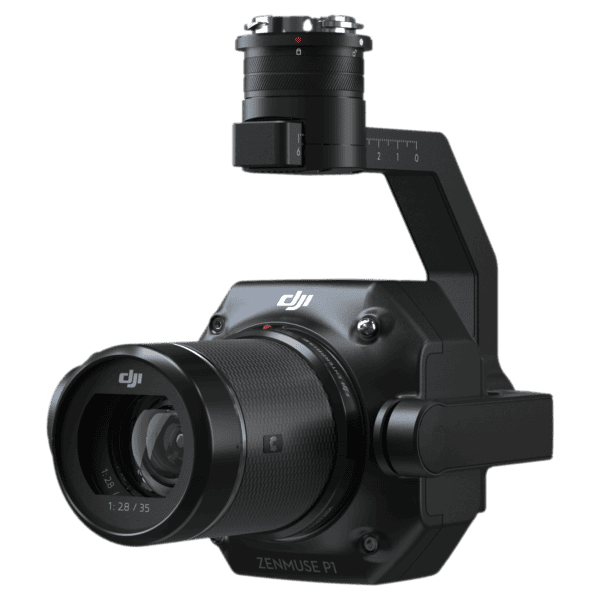
Description
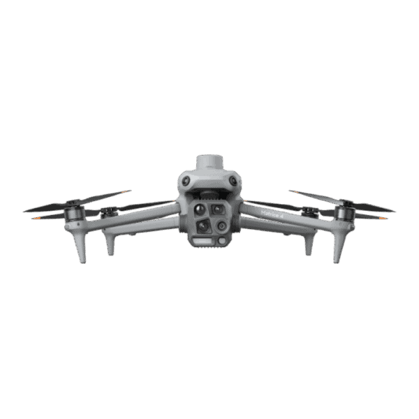
The DJI Zenmuse L3 is a next-generation long-range aerial LiDAR solution built for serious survey, mapping, and inspection work. Paired with the Matrice 400, it lets you safely fly higher, cover more ground per day, and still hit survey-grade accuracies for demanding engineering deliverables.
At the heart of the L3 is a 1535 nm LiDAR engine with up to 2,000,000 pulses per second and support for up to 16 returns, enabling dense, high-fidelity point clouds even in complex vegetation, corridors, and urban environments. Typical flight altitudes of 300–500 m allow you to cover more area while still achieving vertical accuracies better than 3 cm at 120 m and 5 cm at 300 m, easily supporting 1:500, 1:1000 and 1:2000 mapping.
Dual 100 MP RGB mapping cameras deliver a wide 107° combined field of view and a 3 cm GSD at 300 m, so you can collect LiDAR, DEM, and photogrammetric-grade imagery in a single flight — with or without GCPs, thanks to the high-precision POS (RTK/PPK) system.
Designed as part of DJI’s end-to-end workflow, Zenmuse L3 fits seamlessly into DJI Pilot 2, DJI Terra, DJI Modify, and DJI FlightHub 2, giving survey and engineering teams a streamlined path from flight planning to classified, cleaned, and measured point clouds.
Key Highlights for Survey & Engineering Workflows
-
Long-range 1535 nm LiDAR: up to 950 m detection range on 10% reflectivity targets
-
Survey-grade accuracy: ~3 cm vertical at 120 m; ~5 cm vertical at 300 m (RMSE)
-
High penetration & density: small 0.25 mrad beam divergence and up to 16 returns
-
Dual 100 MP RGB mapping cameras with 3 cm GSD at 300 m
-
Multiple scanning modes (Linear, Star-Shaped, Non-Repetitive) for terrain, corridors & vegetation
-
Integrated high-precision POS (RTK/PPK) with yaw accuracy 0.02° and pitch/roll 0.01°


Reviews
There are no reviews yet.