

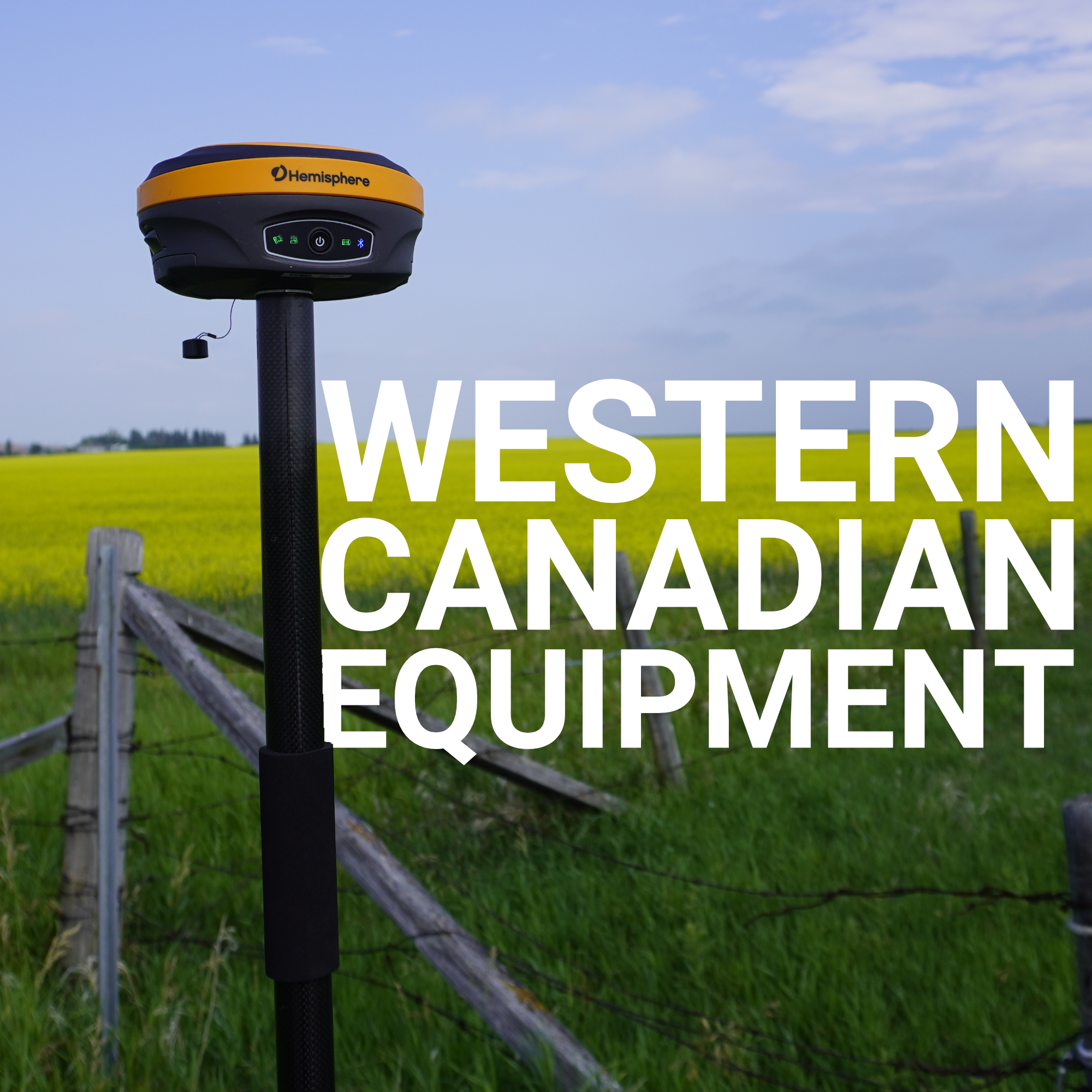
Western Canada was built on surveyed lines. The Dominion Land Survey, the grid system that carved up the Prairies into townships, ranges, and quarter sections, was one of the most ambitious land subdivision projects in history. It enabled settlement, agriculture, resource extraction, and infrastructure across millions of hectares of largely unmapped land.
That foundational work is still visible today every time you look at a grid road in Alberta or Saskatchewan. But the demands placed on modern land surveyors in this part of the country are nothing like what those early crews faced with transits and chains. They’re more complex, more precise, and in many ways more challenging.
Western Canada doesn’t give surveyors an easy ride. The region spans everything from the flat, featureless prairies of Saskatchewan to the dense boreal forests of northern Alberta to the rugged, steep terrain of British Columbia’s interior.
Each of these environments creates different problems for GNSS signals, different logistical constraints, and different accuracy demands. Understanding how those challenges map onto equipment decisions is the difference between a clean dataset and a field day that costs more than it should.
The Terrain Problem Is Actually Three Different Problems
What Accuracy Actually Means Here
Equipment Considerations for Western Canadian Conditions
Software Ties It Together
The West Demands More from Your Setup
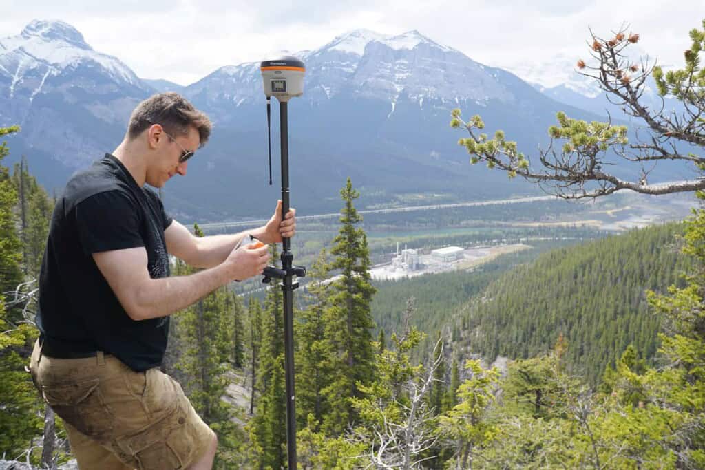
When surveyors talk about “challenging environments” in Western Canada, they’re usually describing one of three distinct scenarios, each with its own failure mode.
Open prairie looks forgiving, wide sky, no canopy, no buildings. But it creates its own issues. Variable weather, including snow, rain, and atmospheric conditions, can degrade GPS performance, and on the Prairies, those weather shifts can happen quickly and without warning. Ionospheric disturbances are also more of a factor in open environments where there’s nothing else to blame when accuracy degrades. Canadian guidelines from Natural Resources Canada specifically advise avoiding surveying when a weather front is passing through the survey area, and recommend monitoring SNR values throughout the session, habits that are easy to skip on what looks like a calm day.
Boreal forest is where GNSS really earns its keep, or fails to. Research into GNSS performance under forest canopy has found that strong interference from vegetation frequently results in code-based rather than carrier-phase-based solutions, significantly affecting positional accuracy. For professional survey work, a code-based solution isn’t good enough. You need a fixed carrier-phase solution, and dense coniferous canopy makes that harder to achieve and harder to maintain. In heavily forested areas, a hybrid workflow is often the practical answer, using RTK GNSS for open areas and falling back to total stations for heavily canopied zones to ensure consistent accuracy across the full dataset.
British Columbia’s terrain introduces the third problem: obstructed sky view due to elevation changes. In mountainous areas, terrain occludes the receiver from accessing enough satellite signals, making PDOP (position dilution of precision) a genuine field constraint rather than a textbook concept. When your visible sky is cut off in multiple directions by ridgelines, you can’t solve that problem with a better receiver alone, you need to plan your occupation windows and positions carefully.
The standard for professional land surveying in Canada ties to NAD83(CSRS), the Canadian Spatial Reference System variant of the North American Datum of 1983. Canada Lands Surveyors and provincial licensees, including those holding Alberta Land Surveyor (ALS) and BC Land Surveyor (BCLS) designations, are required to deliver NAD83(CSRS) coordinates on legal boundary and cadastral surveys. That requirement has teeth: survey plans filed with provincial land title offices have to be tied to that datum, and errors that compound across a subdivision or a pipeline right-of-way have real legal consequences.
An additional layer of complexity is coming with the NATRF2022 transition scheduled for 2027, which will update the reference frame underlying Canadian survey work. Surveyors who aren’t planning for that shift now will face rework and compatibility issues when it arrives.
Centimetre-level RTK accuracy is achievable across most of Western Canada in open conditions. The challenge is maintaining it when conditions aren’t open. Modern multi-constellation receivers that track GPS, GLONASS, Galileo, and BeiDou simultaneously give you more satellites to work with when part of the sky is obscured. More satellite systems and frequencies make RTK GPS more resilient to signal issues and environmental interference, a tangible, practical advantage when you’re working near treeline or in transitional terrain.
The other accuracy factor surveyors in Western Canada often underestimate is vertical. Horizontal accuracy gets most of the attention, but geoid modelling for vertical control, particularly in the BC interior and the foothills of Alberta, is genuinely complex. Your RTK system needs to apply the correct geoid model (currently CGG2013a in Canada) to convert ellipsoidal heights from GNSS into meaningful elevations. Equipment that handles this correctly, out of the box, saves a significant amount of post-processing headache.
Not all RTK systems perform equally in this region. Here’s what matters for the environments described above:
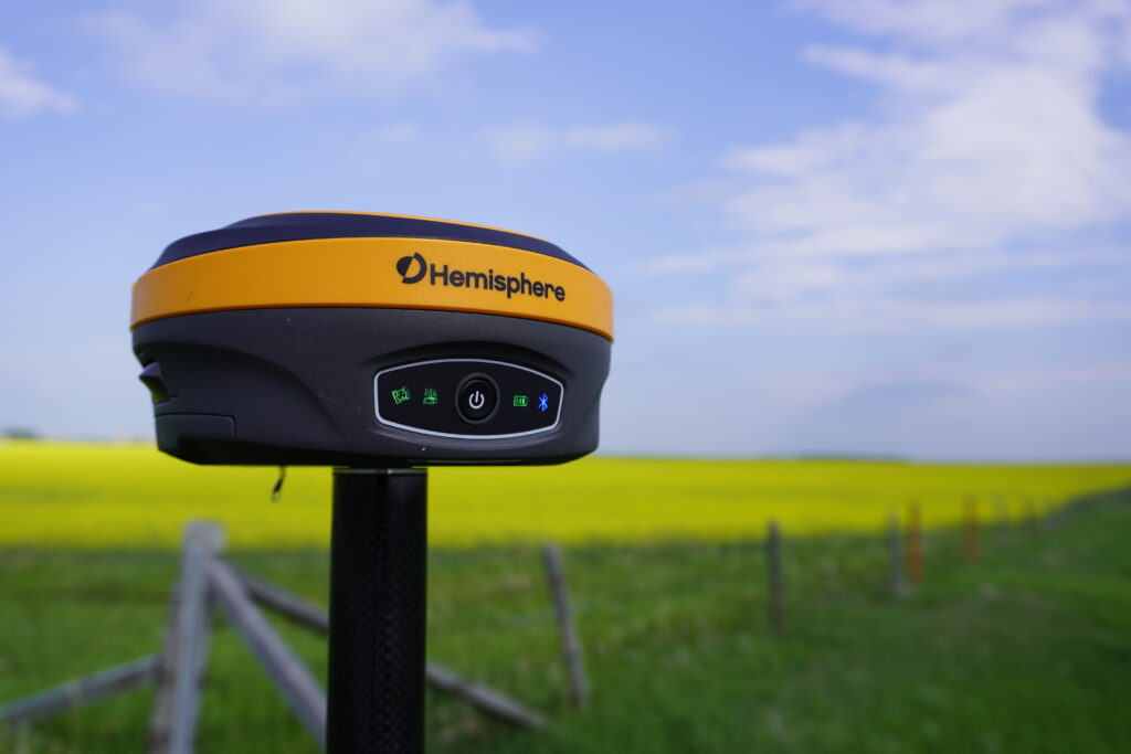
At Bench-Mark, we’ve supported surveyors and civil engineers across Alberta, BC, and Saskatchewan with equipment configured for exactly these conditions. The Hemisphere S631, the primary RTK system we supply, is built for multi-constellation tracking and is particularly well-suited to the environments Western Canadian surveyors work in daily.
The receiver is only part of the system. Field software determines how efficiently you collect data, how cleanly you manage localizations and base setups, and how well your coordinate system is controlled throughout the survey.
FieldGenius is the data collection platform that powers the RTK systems we offer at Bench-Mark, handling everything from base setup and localization to stakeout and as-built collection. A field software package that handles NAD83(CSRS) and geoid modelling correctly, and integrates cleanly with your office workflow, is not a secondary concern, it directly affects the quality and defensibility of your final survey.
Land surveying in Western Canada is defined by variety. A single crew might work a subdivision in the Edmonton metro area, a pipeline right-of-way through boreal muskeg, and a cadastral survey in the BC mountain foothills, sometimes within the same month. The equipment and workflows that serve all three of those environments well are not the same as what works in a single, predictable operating zone. That’s why equipment selection, field methodology, and software integration deserve to be treated as one connected decision rather than three separate ones. Get the combination right, and the terrain stops being the problem, it just becomes the job.
