There are many different uses for GPS surveying equipment, and each of them assists specific industries and individuals. One of the most important sectors for GPS is agriculture, where it is important to know the exact features of a location. The application of GPS in agriculture has transformed how farmers plan, plant, and protect crops. Below you can learn about some of the most exciting ways that GPS implements are put to use by farmers.
Reducing Manual Labour
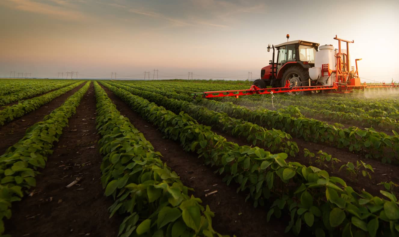
Of course, there are many ways that GPS can reduce manual labour, such as the reduction of personnel necessary for operating GPS surveying equipment. However, in agriculture, there is a remarkable utility for this technology, especially regarding tractor use. Fertilizing, harvesting, cultivating, and pest control are all great contenders for GPS use to navigate automatic equipment and save time.
Soil sampling provides valuable insight into the conditions your products are likely to grow in. With the help of GPS, it is easy to designate the exact locations of the samples as well as the distance between them. This assistance is essential for planning operations.
Crop dusting is an essential part of the harvesting and farming of crops. However, there are several negative side effects to the environment and soil quality when insecticide spraying is overused. Thankfully, with the addition of GPS equipment, farmers can precisely target the infected areas and prevent the spread to healthy crops.
Contour mapping is the process of measuring the elevation of a particular field. For some crops, irregular heights pose no issue, but for others, they must have a wide, open and flat area to proliferate. GPS surveying equipment can provide fine details about all rises and falls on your land.
The space between seeds and the ability to intermix them amongst each other is essential to maximizing crop yields. GPS plays a vital role in this process because it allows farmers to observe spacing plans that did not work at harvest time, and also, to observe how successful promising areas were.
The process of marking crop zones can be exceptionally tedious and time-consuming without the right equipment. Part of that equipment is GPS instruments that allow one to segregate crops without manually separating them effectively.
All these ways of application of GPS in agriculture help streamline repetitive field operations efficiently.
Modern farming depends on precise data, efficient resource use, and the ability to adapt quickly to changing field conditions. Here is what GPS technology delivers to keep up with these needs:
With all the many uses for GPS equipment in the agricultural field, it is hard to believe how successful we were before these modern marvels. However, it is also easy to see the potential uses in different industries and applications. To learn more about survey equipment and how it can help your business, contact us today!
Bench Mark Equipment & Supplies is your team to trust with all your surveying equipment. We have been providing high-quality surveying equipment to land surveyors, engineers, construction, airborne and resource professionals since 2002. This helps establish ourselves as the go-to team in Calgary, Canada, and the USA. Plus, we provide a wide selection of equipment, including global navigation satellite systems, RTK GPS equipment, GNSS receivers, and more. We strive to provide the highest level of customer care and service for everyone. To speak to one of our team today, call us at 403-286-0333 or email us [email protected]
