Home > Depth Sounder


Why buy from Bench Mark?
Modern bathymetric survey equipment is essential for professionals who need accurate and efficient underwater depth measurement. Designed for hydrographic surveying, this equipment enables precise mapping of lakebeds, riverbeds, and seafloor contours, helping surveyors collect reliable data with confidence.
Using advanced sonar depth-sounding technology, bathymetric survey equipment measures depth by transmitting sound pulses and calculating their return time from the bottom surface. Compared to traditional methods, it delivers faster data acquisition, improved accuracy, and consistent performance across varying water conditions, making it a practical and cost-effective solution for professional surveying applications.
Showing the single result
A depth sounder is a sonar-based device that measures water depth by sending sound pulses and timing their return from the bottom surface. These systems are essential for hydrographic surveys, dredging, and environmental monitoring. We provide reliable, survey-grade depth sounders built for accuracy and ease of integration with GNSS systems.
No. Depth sounders rely on sound waves traveling through water to calculate depth. Operating a transducer out of water can damage the sensor and produce false readings. Always ensure the transducer is properly submerged before use.
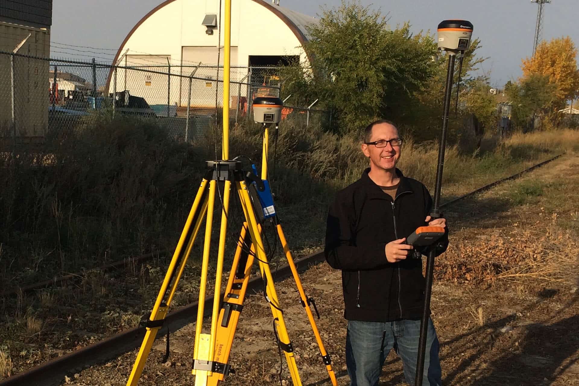
Bathymetry uses sonar and GNSS technology to map underwater terrain. The depth sounder measures the distance to the bottom, while a GNSS receiver records position data. Combined, these readings create accurate 3D maps of lakes, rivers, or coastal areas for engineering and environmental applications.
Survey-grade bathymetry systems typically achieve vertical accuracies of a few centimeters when paired with RTK GNSS receivers. Factors like water clarity, bottom type, and equipment calibration can influence results. We offer systems that are pre-tested and configured for dependable, repeatable accuracy in the field.
LiDAR can be used for shallow-water bathymetry when equipped with green wavelength lasers that penetrate water. However, for deeper or turbid environments, sonar-based depth sounders remain the more reliable and cost-effective choice for accurate underwater mapping.
Depth sounders are commonly used for dredging projects, hydrographic mapping, environmental research, and construction site monitoring. They provide accurate underwater profiles that support engineering design, volume calculations, and navigation safety.
Yes. Most depth sounders can easily integrate with GNSS receivers and data collectors for precise geo-referenced bathymetric mapping. Our team can help configure a complete system with compatible connections and software setup.
What you need to know about Bathymetry
Bathymetry is required in many waterways, both for construction and ensuring easy navigation. Used in conjunction with a GNSS RTK receiver providing accurate 3-dimensional positioning, an echo sounder like the CHCNAV D390 will generate a precise map of subsurface conditions. Whether you are trying to dredge a channel, locate pilings for a bridge, or map the contours of a lake, the CHC depth sounder is the perfect tool. Modern echo sounders are designed for easy integration with RTK GPS and other surveying equipment. The sounder outputs data strings which are input into various hydrographic software, including the HydroSurvey7 software, to build accurate 3D maps and contour models. This integration of technology allows a surveyor to enter a marketplace that was traditionally dominated by dedicated and expensive mapping sonar.
We Carry the Best Tools & Equipment
As one of the best depth sounders in the Canada, the CHCNAV D390 is a user-friendly device that uses sonar waves to accurately identify, within 1 cm, depths from 15cm to 300m deep. The ping frequency of the sonar transducer is 200kHz, ensuring accurate data resolution for all depths. The narrow transducer beam also works to ensure that you have the highest resolution depth data. Mounting the D390 depth sounder is extremely simple in conjunction with your GPS RTK receiver. We carry this top-of-the-line device at Bench Mark for your convenience. If you have questions about how it works, or you’re interested in other equipment like a robotic total station, give us a call! We are committed to providing exceptional customer care and ongoing service.
