

Every failed subdivision, every disputed lot line, every drainage problem that turns a finished basement into a swimming pool, trace it back far enough and you’ll almost always find the same root cause: the development moved faster than the survey data. In Canada’s real estate development industry, where land costs have reached levels that leave almost no margin for error, a bad or incomplete survey isn’t a paperwork problem. It’s a project-ending liability. The permit doesn’t come through. The foundation goes in the wrong location. The title insurer won’t touch it. Surveying for real estate development isn’t a formality that happens before the real work starts, it is the real work, and everything else depends on getting it right.
What’s Actually at Stake with Property Boundaries
Topographic Surveys: The Foundation of Site Design
Survey Types You’ll Encounter in Development
RTK GNSS and Total Stations: The Equipment That Drives Modern Development Surveys
Regulatory Compliance and the Survey Record
When the Survey Saves the Project
The Ground Truth That Makes Everything Else Possible
Canadian land title law is unforgiving about boundaries. When a developer acquires a parcel and begins planning a subdivision, the legal description in the title is the starting point, but it is not always an accurate description of what’s physically on the ground. Historic surveys may be decades old, monuments may have moved or been destroyed, and adjoining parcels may have accumulated errors over successive transactions. A boundary survey conducted by a licensed surveyor, an Alberta Land Surveyor (ALS), BC Land Surveyor (BCLS), or Saskatchewan Land Surveyor (SLS), depending on jurisdiction, establishes where the property actually is relative to current control networks.
This matters enormously for real estate development because everything that follows, site planning, servicing, subdivision plans, road dedications, easement registrations, gets tied to that survey fabric. An error in the boundary determination propagates through the entire plan. Registered plans that get filed with provincial land title offices become legal documents that are extremely difficult to correct after the fact. Getting the boundary right before engineering design begins is not caution, it’s basic project management.
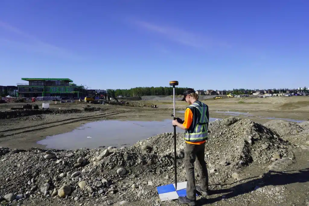
Once boundaries are established, a topographic survey gives the design team the physical data they need to actually plan the site. This is where civil engineers and landscape architects get their working canvas: ground elevations, existing drainage patterns, the locations of trees and watercourses, underground utility positions, and any existing structures or improvements.
For residential subdivision development in Canada, topographic data drives several critical decisions:
In British Columbia, where terrain variability is extreme, a topographic survey can reveal slope conditions that fundamentally change what’s achievable on a site. In Alberta and Saskatchewan, where the Prairie landscape looks flat but often contains significant undulation and historic drainage channels, topo data prevents developers from designing infrastructure against natural water movement, a mistake that often doesn’t show itself until the first major rain event after construction.
Real estate development in Canada typically involves several distinct survey deliverables, each serving a different phase of the project:
Each of these surveys requires different equipment, different methodologies, and in many cases different software workflows to produce compliant deliverables.
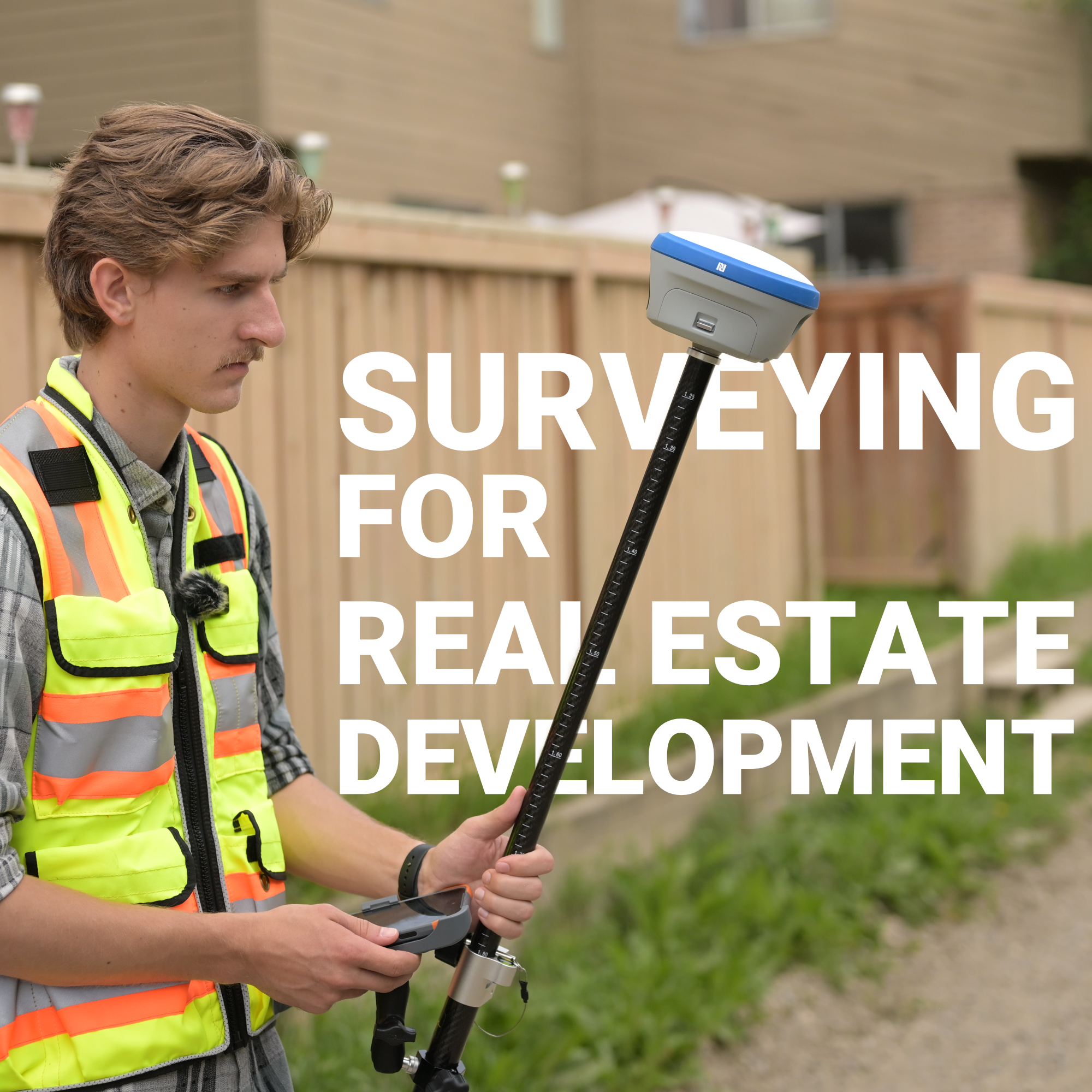
The equipment a survey crew brings to a development site directly determines how fast and how accurately they can work. RTK GNSS, real-time kinematic positioning using multi-constellation satellite receivers, has become the primary tool for topographic data collection, construction layout, and control establishment on most development sites. A modern RTK system can collect thousands of positions per day at centimetre-level accuracy, making it far faster than conventional methods for open or semi-open sites.
At Bench-Mark, the RTK systems we supply, including the Hemisphere S631, are built specifically for this kind of production-grade survey work. Multi-constellation tracking across GPS, GLONASS, Galileo, and BeiDou gives crews the satellite geometry they need to maintain a fixed solution across varying conditions: cloudy skies, light canopy at site edges, and the marginal urban environments that become common as suburban development moves into infill and brownfield sites.
Total stations remain essential for development surveying in conditions where GNSS struggles. Dense tree cover on site edges, underground utility locations, and precise construction layout in urban environments all benefit from a robotic total station working alongside or in place of GNSS. The GeoMax Zoom95, a robotic total station we carry at Bench-Mark, integrates cleanly into workflows that combine both technologies, which is exactly how most professional development crews operate today.
The field software layer matters as much as the hardware. FieldGenius, the data collection platform that powers the systems we supply, manages the coordination between base, rover, and total station. On a development site, where the crew might be running control traverses, collecting topo, and staking lots in the same day, field software that handles all three workflows without switching platforms or risking data integrity is not a convenience, it’s a production requirement.
Canadian municipal and provincial planning processes are heavily document-driven. A plan of subdivision requires survey input at nearly every stage: the concept plan, the engineering design brief, the draft plan of subdivision, the servicing agreement, and the final registered plan. Each of these documents draws on survey data, and regulators, whether that’s a municipality, a provincial land title office, or in the case of federal lands, Natural Resources Canada, have specific technical requirements about how that data is collected, adjusted, and presented.
In Alberta, survey control must reference the provincial NAD83(CSRS) coordinate system. In BC, similar requirements apply under BCLS practice standards. Developers who work with surveyors using properly calibrated, current-generation RTK equipment referenced to active control networks get deliverables that pass regulatory review. Those working with outdated equipment or poorly controlled data face correction requests, delays, and in some cases complete re-survey costs.
The most important thing a development survey does is surface problems before they become expensive. A topographic survey that reveals a seasonal wetland in the centre of a planned lot block changes the site plan before it goes to engineering, not after the municipality rejects the grading plan. A boundary survey that finds a historical survey error along a shared property line triggers a correction through proper legal channels before the plan of subdivision is submitted, not after title is issued on individual lots.
Real estate development is a process of turning raw land into titled, serviced, buildable properties, and every step of that process runs on survey data. Boundaries, grades, utilities, setbacks, road alignments, registered plans: none of it exists without someone going out in the field and measuring the ground.
The quality of those measurements, and the equipment and expertise behind them, determines whether a project runs cleanly or accumulates errors that compound all the way to registration. In a market where the cost of Canadian land leaves no room for rework, treating survey as a critical path item, not a background task, is simply how serious development gets done.
