Topographic surveying looks simple on the surface: collect elevations, locate features, build a surface. But anyone who works in Canadian field conditions knows that nothing about topographic work is simple. You’re dealing with changing weather, mixed canopy, inconsistent line of sight, and terrain that can swing from flat prairie to deep ravines within a few metres. Because of this, the choice of topographic surveying equipment directly shapes the quality of every contour line you produce.
In this breakdown, we’ll walk through the gear surveyors rely on most for topographic surveys across Canada: GNSS systems, total stations, UAVs, and scanning tools. Instead of generalities, we’ll focus on how each instrument behaves in real field conditions and where each tool fits in a modern workflow.
Why Topographic Survey Data Depends on the Right Gear
GNSS Systems: The Workhorse of Modern Topographic Surveying
Total Stations: Filling in the Details GNSS Can’t See
UAVs: Capturing More Surface, Faster
Laser Scanning: High-Density Data for Complex Sites
How Surveyors Combine Tools in Real Topographic Surveys
Things That Matter More Than People Expect
Bringing It All Together
A topographic survey is essentially a model of the land. The more reliable your measurements, the more defensible the model becomes for design, grading, drainage, and permitting. Architects, engineers, municipalities, and developers all rely on this surface as the foundation of their decisions.
What matters most is not just how many points you collect, but how consistently those points represent the actual terrain. That’s where careful selection of topographic surveying equipment comes in: each tool introduces its own strengths, limitations, and error sources.
In Canada, especially, field environments can shift dramatically within a single site. No single instrument handles all conditions equally well, which is why topo workflows typically blend GNSS and optical measurements.
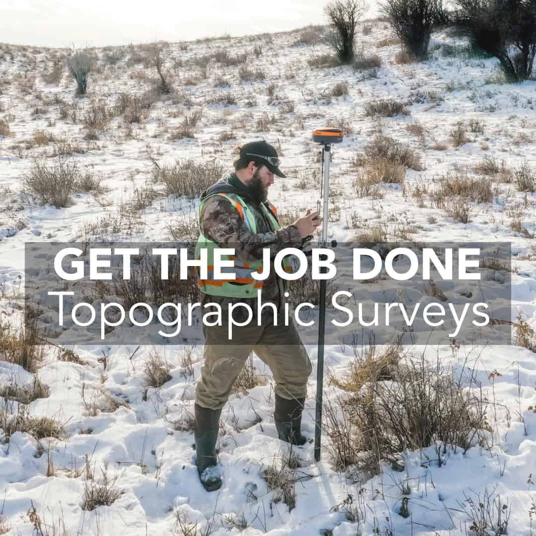
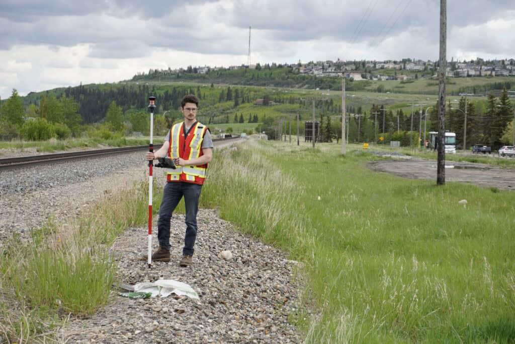
For most topographic surveys today, GNSS systems form the backbone of field data collection. When you have clear sky, a multi-constellation GNSS rover gives you the fastest way to gather elevations, spot shots, and breaklines with centimetre-level accuracy.
What makes GNSS so useful in topographic work is its ability to cover ground quickly. The rover moves freely across the site, useful for larger development parcels, municipal projects, or road corridors.
GNSS shines when the site offers:
On these sites, the productivity boost is significant. With a good multi-constellation receiver like the Hemisphere S631 and reliable RTK corrections, Canadian surveyors routinely achieve stable fixes even in light tree cover.
But topographic surveying doesn’t always happen in easy spaces.
Every GNSS receiver, regardless of brand, has the same core challenge: satellite dependency. When you lose sky or face heavy multipath, no amount of processing power replaces line-of-sight. Common problem zones include deep wooded lots, downtown cores, industrial yards with metal structures, and steep embankments.
For these environments, GNSS is still part of the workflow. It’s just not the whole workflow.
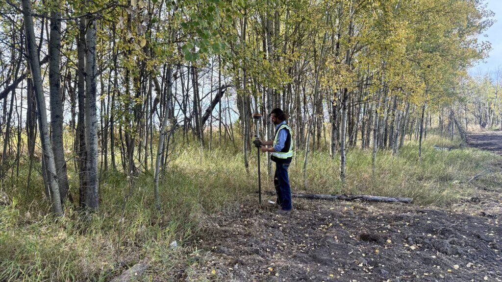
Total stations remain essential in topographic surveying because they don’t rely on satellite visibility. Whether robotic or manual, a total station measures angles and distances with a level of precision that GNSS can’t match in obstructed environments.
If GNSS tells the broad story of the site, the total station fills in the places where GNSS loses its voice.
A system like the GeoMax Zoom95 allows surveyors to switch between GNSS and optical work smoothly. The prism becomes the rover’s extension, allowing you to collect precise elevations in areas where GNSS struggles. This is particularly useful in:
For many surveyors, the total station is a part of the same topo workflow. Collect the bulk of the terrain with GNSS, switch to optical for obscured features, and merge the datasets seamlessly in FieldGenius or your CAD environment.
UAVs have become increasingly common in Canadian topographic surveys, especially for larger parcels and earthworks projects. UAVs aren’t a replacement for GNSS or total stations, but they offer another perspective: dense, uniform surface coverage.
Photogrammetry lets you generate elevation models from thousands of data points rather than a few hundred. This is particularly valuable for:
The key to a usable UAV-generated surface is proper ground control. GNSS RTK points anchor the aerial model, so that the photogrammetric surface matches the actual elevations on the ground. In topo applications, this combination (GNSS control + aerial imagery) significantly improves speed without compromising accuracy.
Terrestrial laser scanning plays a different role in topographic surveying. While GNSS and total stations collect specific points, scanners collect everything in view. This level of detail becomes essential when the topographic survey includes:
Scanners are not usually the primary tool for topographic surveys, but they provide unmatched clarity in areas where traditional measurements struggle or where the geometry is too complex for discrete point shots.
Instead of committing to a single instrument, crews choose the tool that fits each part of the site. Here’s what that typically looks like in the field:
This is the most common approach for subdivision work, municipal surveys, and infrastructure design. GNSS handles the majority of terrain points, drainage paths, and open surfaces. The rover’s mobility and speed allow surveyors to move fluidly across the site.
Used when the site has mixed conditions. GNSS collects elevations and features in open areas, while the total station takes over near buildings, tree lines, or heavy multipath environments. This combination ensures that the topo surface is complete, even if the satellite view is not.
Ideal for large grading projects or construction monitoring. GNSS establishes control; UAV imagery fills in dense surface detail. The result is a topo model that balances accuracy with full-site coverage.
This blended strategy is what gives modern topographic surveying its reliability. You’re choosing the right tool for each slice of the site, rather than forcing one instrument to do everything.
Even with the right topographic surveying equipment, small details determine whether your topo data is trustworthy. Three areas consistently affect results more than most surveyors expect.
GNSS, total stations, and UAV control points must align within the same coordinate system and calibration. Mismatched parameters are one of the most common causes of surface discrepancies.
More points don’t always mean better surfaces. Elevation models depend on choosing the right points: breaklines, grade changes, and structural edges. Precision is in the judgment, not just the instrument.
Wet snow, standing water, soft soil, and deep shadows all influence how instruments perceive the terrain. Knowing when to collect a point is just as important as knowing how.
These are the nuances that distinguish a clean topo from a problematic one once the data reaches the engineer’s desktop.
Topographic surveying involves using the right instrument at the right moment and understanding how each piece of equipment behaves in real field conditions. GNSS gives speed and broad coverage; total stations give precision in obstructed spaces; UAVs give surface density; scanners give complex geometry.
When these tools are combined thoughtfully, the topographic survey becomes more accurate, more defensible, and easier to build upon for design and construction.At Bench-Mark, we work with surveyors across Canada who balance these tools every day. Choosing topographic surveying equipment is a workflow decision. And when the workflow matches the site, the topo data speaks for itself.
